17 named trails · 7 miles · 6 trailheads · 14 with the Park Service's own write-up. The lines, trailheads and points are the Park Service's; the write-ups are the Service's own words; the climbing is read from USGS elevation along each line.
0.3 mi one way · about 250 ft of climbing · 1,483 ft–1,710 ft · native surface · hiking
TrailheadTrail Of The Fossils, Clarno Arch Trail 1,476 ft Drive there
Clarno Arch Trail the Park Service's write-up
15-45 Minutes · dogs allowed
Start Clarno Unit
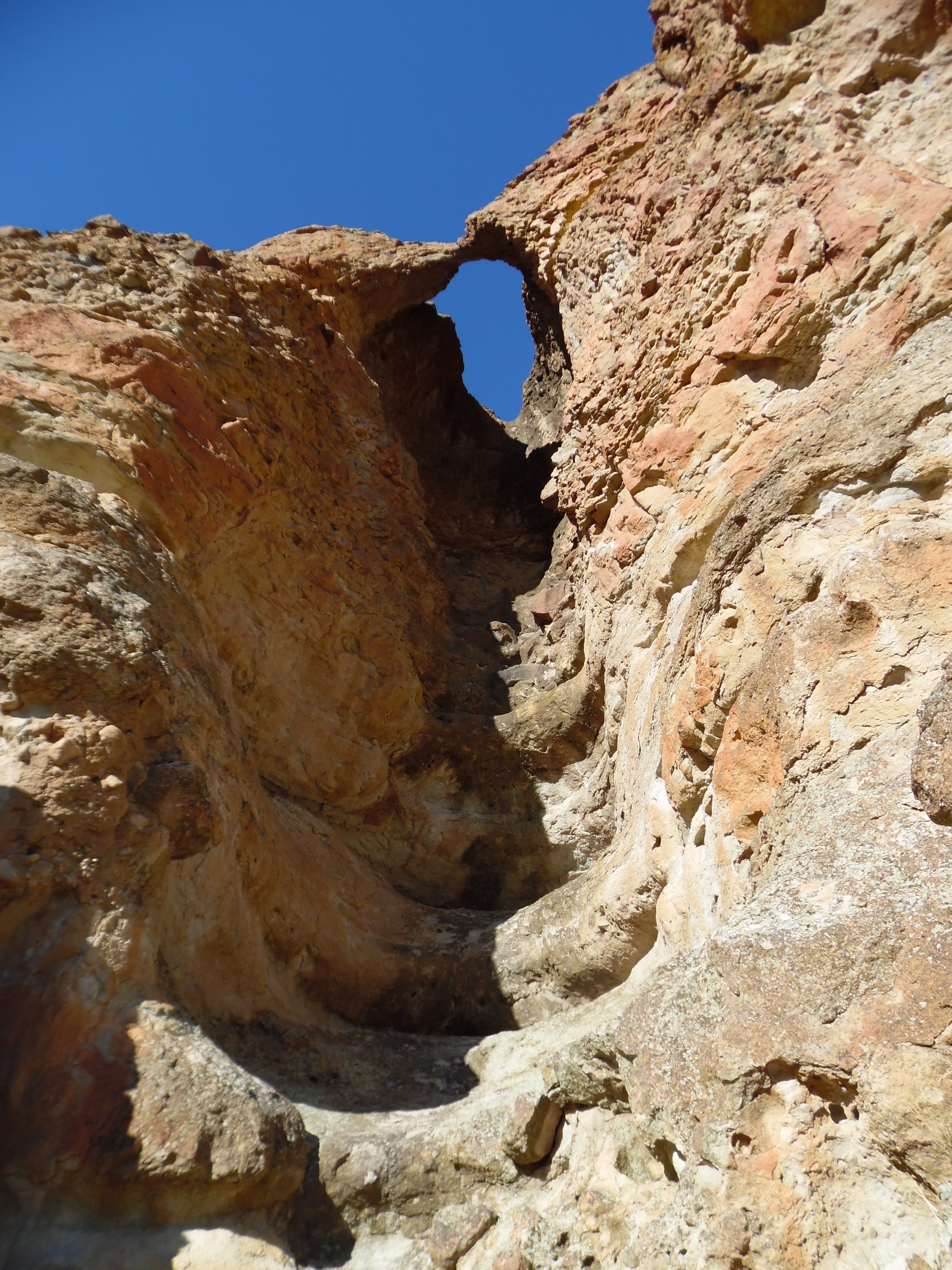
Clarno Arch Photo: NPS Photo
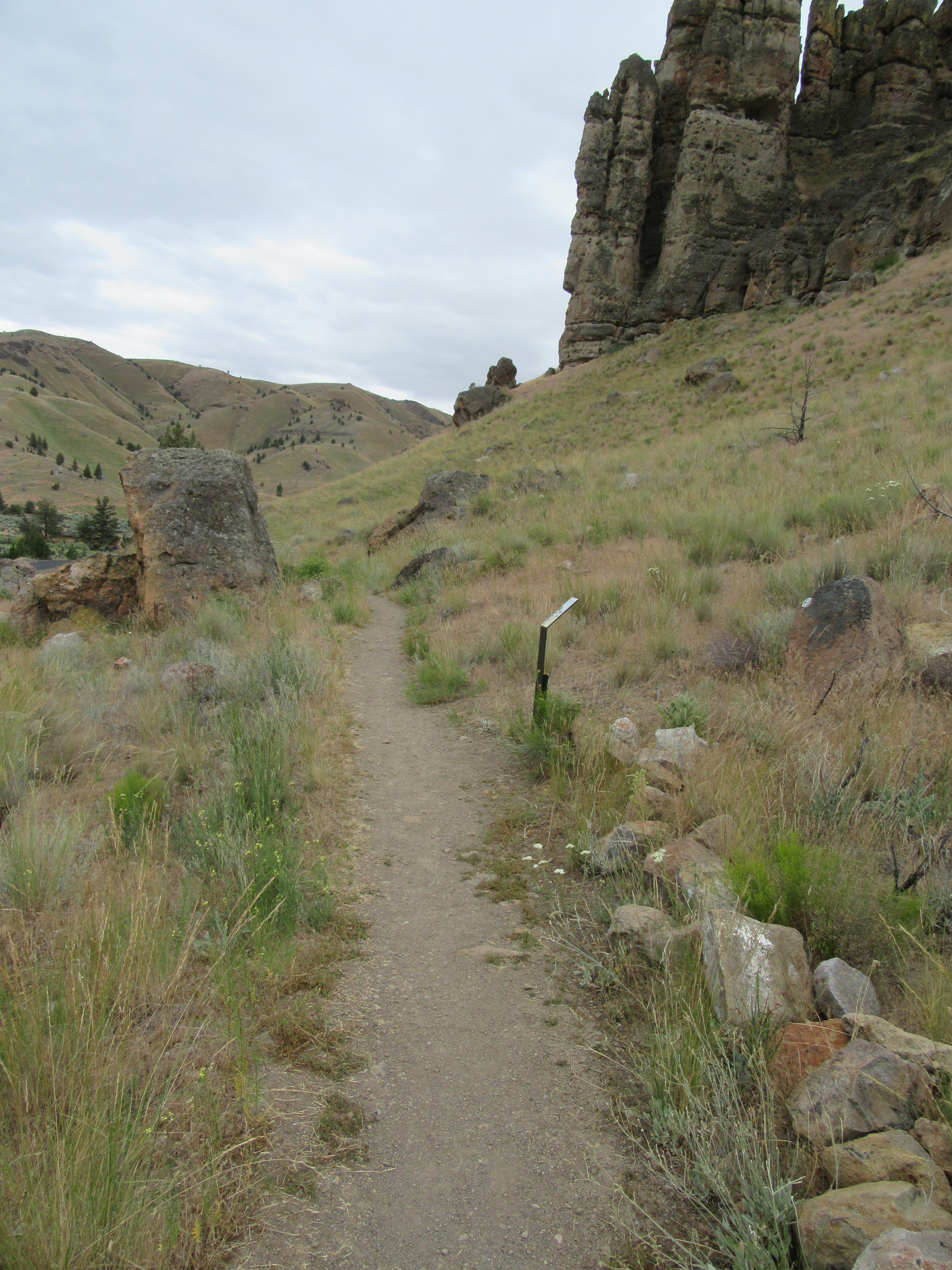
This 0.5 mi (0.8 km) trail climbs almost 200 ft (60 m) in height to the base of the Palisades to a view of an arch above.
No collecting is permitted.
Accessibility This 0.5 mi (0.8 km) trail climbs 200 ft (60 m) in height with an average width of 32.7 inches and minimum width of 15 inches. Trail composition varies from compacted gravel to dirt. There is a bench at the end of the trail. Potential hazards: Rocks, muddy after rain and snow
2.9 mi one way · about 700 ft of climbing · 2,146 ft–2,907 ft · native surface · hiking
Picnic areas
Along the wayBlue Basin Picnic Area
Blue Basin Overlook Trail the Park Service's write-up
1-3 Hours · dogs allowed
Start Sheep Rock Unit
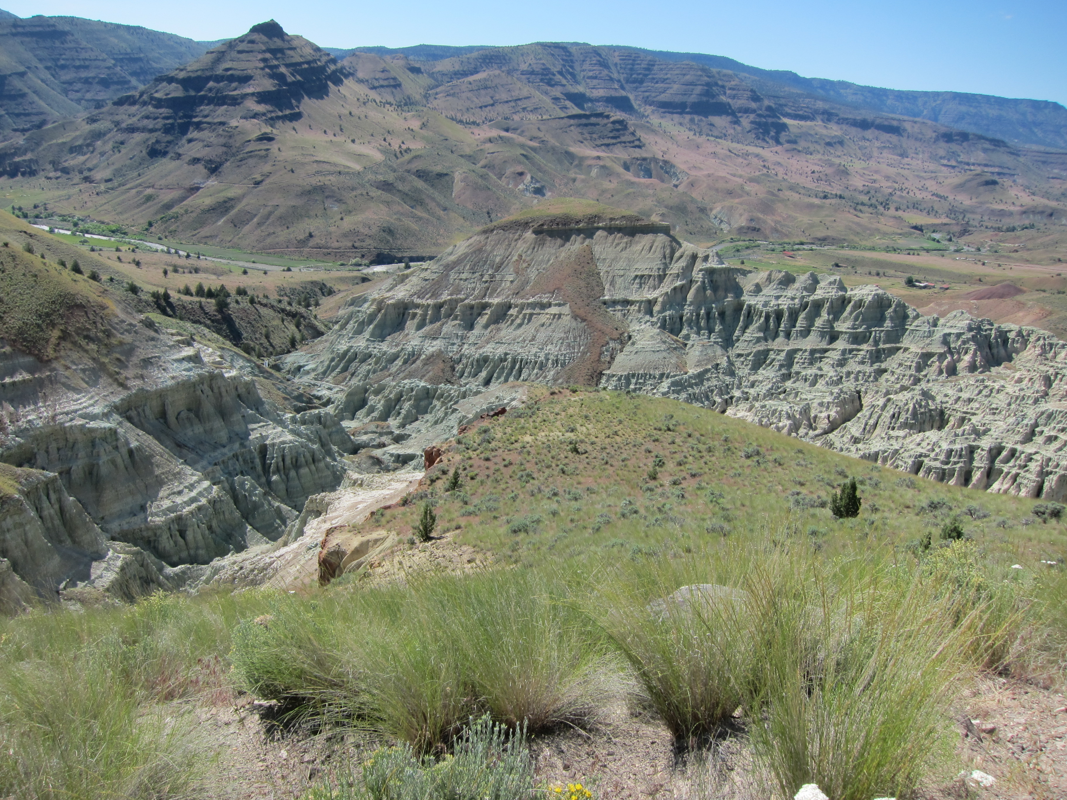
Blue Basin Overlook Photo: NPS Photo
The Blue Basin Overlook Trail is a 3.25 mi (5.2 km) trail that climbs 760 ft (230 m) in elevation to an overlook of Blue Basin. This trail provides breathtaking views down into steep canyons and grand vistas of the John Day River valley. It starts both at the Blue Basin parking lot and also connects along the Island in Time Trail.
No collecting is permitted and off-trail hiking is strictly prohibited. Please stay on trail.
Accessibility This trail climbs 760 feet in elevation with a minimum width of 15 inches. Trail has rocks and changes between gravel, dirt, and claystone composition throughout. There is a wooden bridge for a short portion of the trail. Potential hazards: Rocks, high winds, muddy after rain and snow
0.8 mi one way · about 400 ft of climbing · 2,060 ft–2,435 ft · native surface · hiking
TrailheadCarroll Rim Trailhead 2,055 ft Drive there
Carroll Rim Trail the Park Service's write-up
30-60 Minutes · dogs allowed
Start Painted Hills Unit
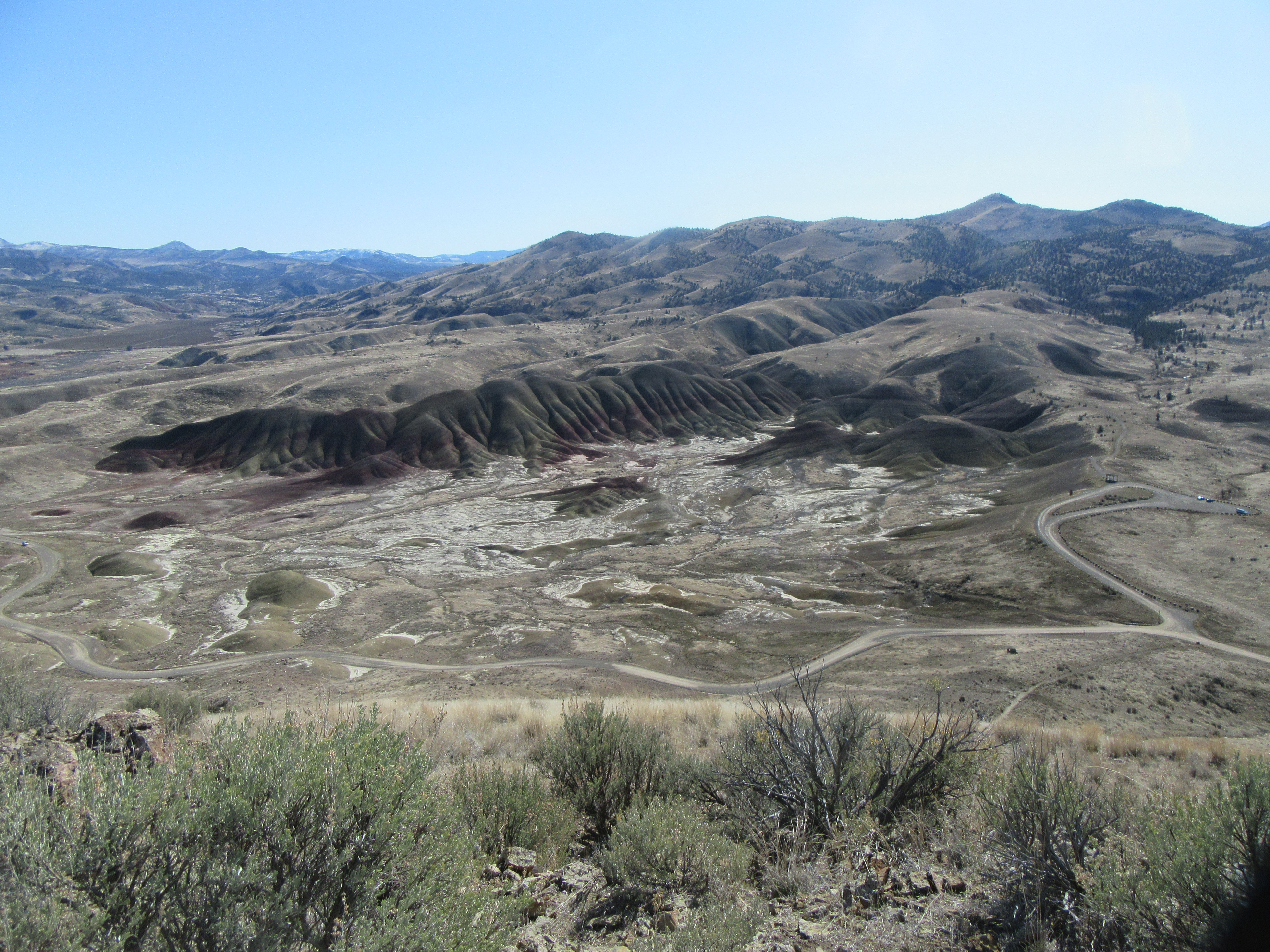
View of Painted Hills Overlook from end of Carroll Rim trail Photo: NPS
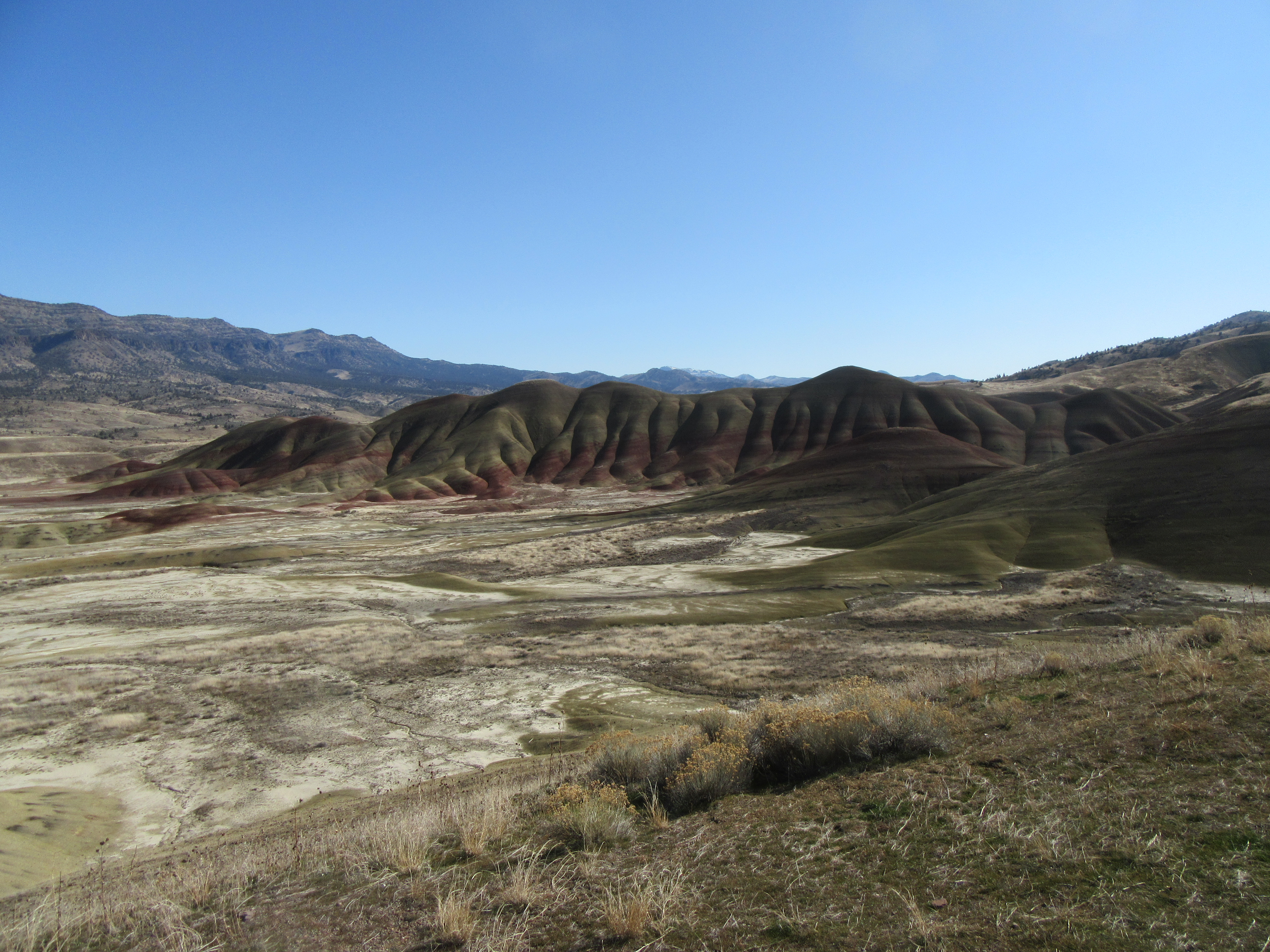
The Carroll Rim Trail is 1.6 miles (2.6 km) roundtrip. The trail climbs over 400 ft (120 m) of elevation to a panorama view of the Painted Hills.
Accessibility The trail is 1.5 miles in total length with an elevation climb of 400 feet. This dirt trail has an average width of 40 inches with a minimum width of 15 inches. One bench is located about halfway through the trail and two benches are located at the end of the trail. Potential hazards: Rocks, high winds, muddy after rain and snow
0.2 mi one way · about 70 ft of climbing · 2,236 ft–2,300 ft · native surface · hiking
Picnic areas
Along the wayForee Picnic Area
Flood of Fire Trail the Park Service's write-up
15-30 Minutes · dogs allowed
Start Sheep Rock Unit
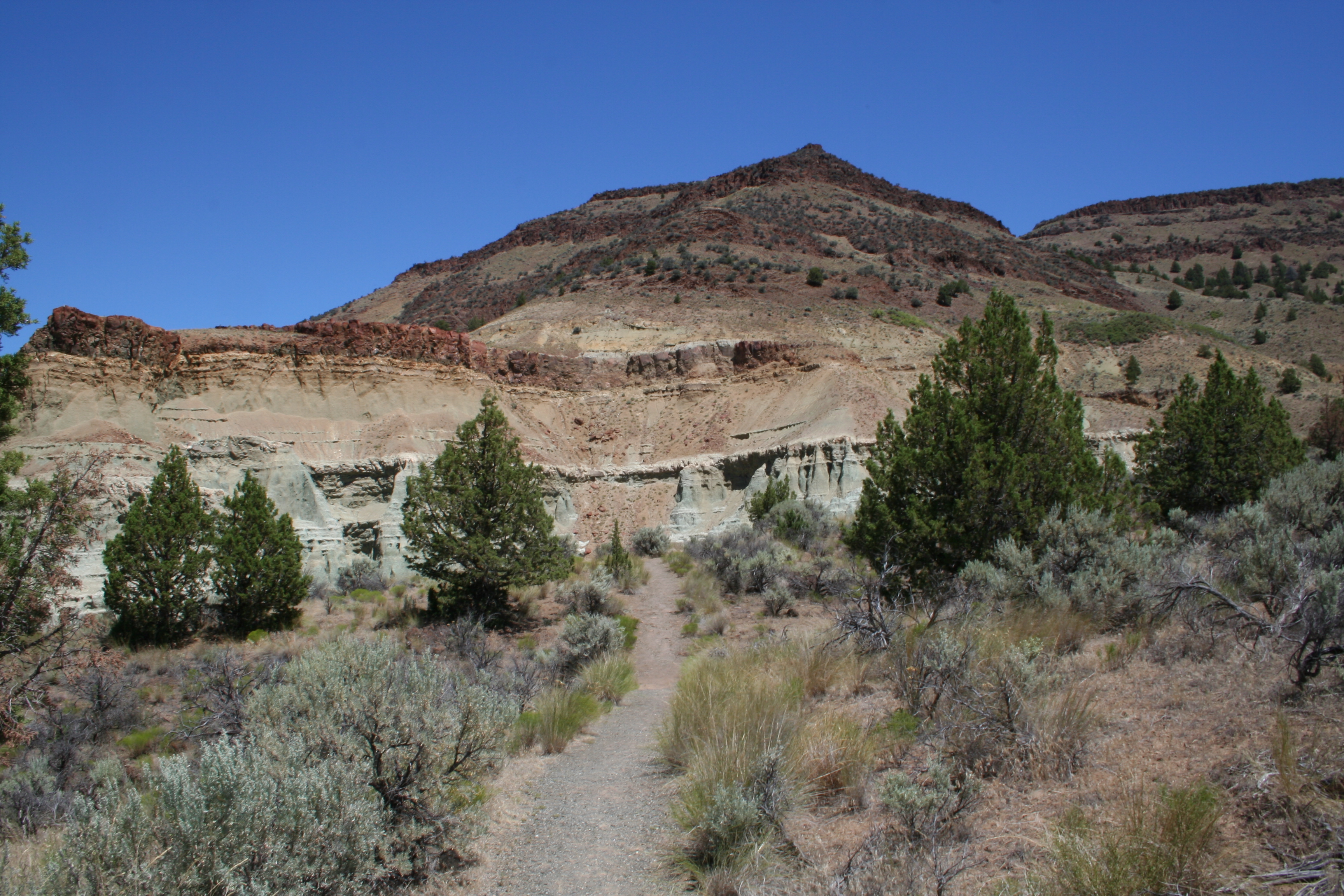
Flood of Fire Trail Photo: NPS Photo / B. Lillie
Mostly easy with several stair steps, this 0.5 mi (0.8 km) long trail ends at a dramatic cliff face and a view of colorful geologic formations and fiery floods of basalt across the valley.
Accessibility This 0.5 mile trail is mostly easy with several stair steps (16" x 14" max) and gravel and rocky terrain. The minimum trail width is 24 inches. Potential hazards: rocks, several rock stair steps, muddy after rain and snow
0.3 mi one way · about 50 ft of climbing · 1,483 ft–1,533 ft · native surface · hiking
TrailheadTrail Of The Fossils, Clarno Arch Trail 1,476 ft Drive there
Geologic Time Trail the Park Service's write-up
10-35 Minutes · dogs allowed
Start Clarno Unit
Geologic Time Trail Photo: NPS Photo
Travel in time between the past and present on this 0.5 mi (0.8 km) path connecting the Trail of Fossils and the picnic area.
No collecting is permitted.
Accessibility This relatively flat compacted gravel trail has an average width of 37.7 inches with a minimum width of 20 inches. Potential Hazards: Muddy after rain and snow
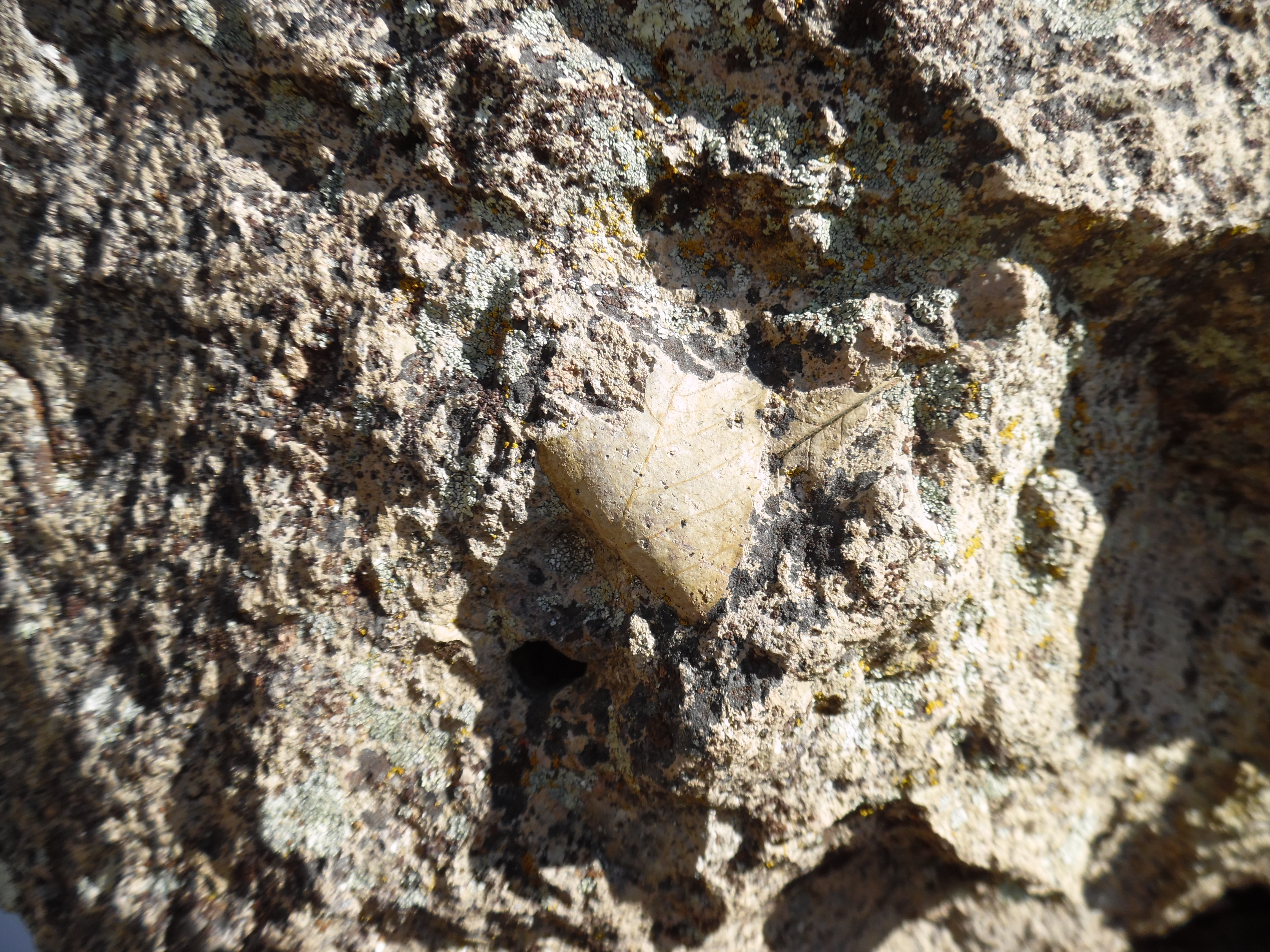
Leaf Fossil Along Trail of Fossils Photo: NPS Photo
The Trail of Fossils is 0.25 mi (0.4 km) long and is the best trail in the monument to see real fossils. Look for leaf imprints and pieces of wood within the boulders that have fallen from the cliffs.
No collecting is allowed and please stay on trail.
Accessibility This 0.25 mi (0.4 km) long trail has a minimum tread width of 14 inches with average cross slope of 2.8 inches. This trail has uneven terrain with rocks and gravel. Potential hazards: Rocks, muddy after rain and snow
0.6 mi one way · about 250 ft of climbing · 2,146 ft–2,403 ft · gravel surface · hiking
Picnic areas
Along the wayBlue Basin Picnic Area
Island in Time Trail the Park Service's write-up
20-60 Minutes · dogs allowed
Start Sheep Rock Unit
Island in Time Trail Photo: NPS Photo / J. Bolton
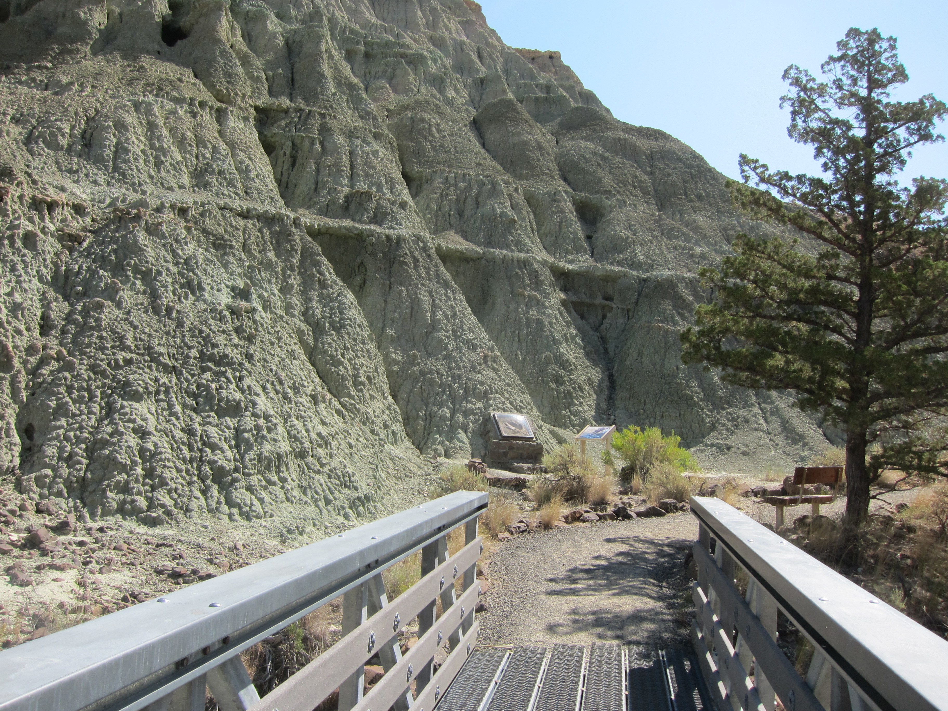
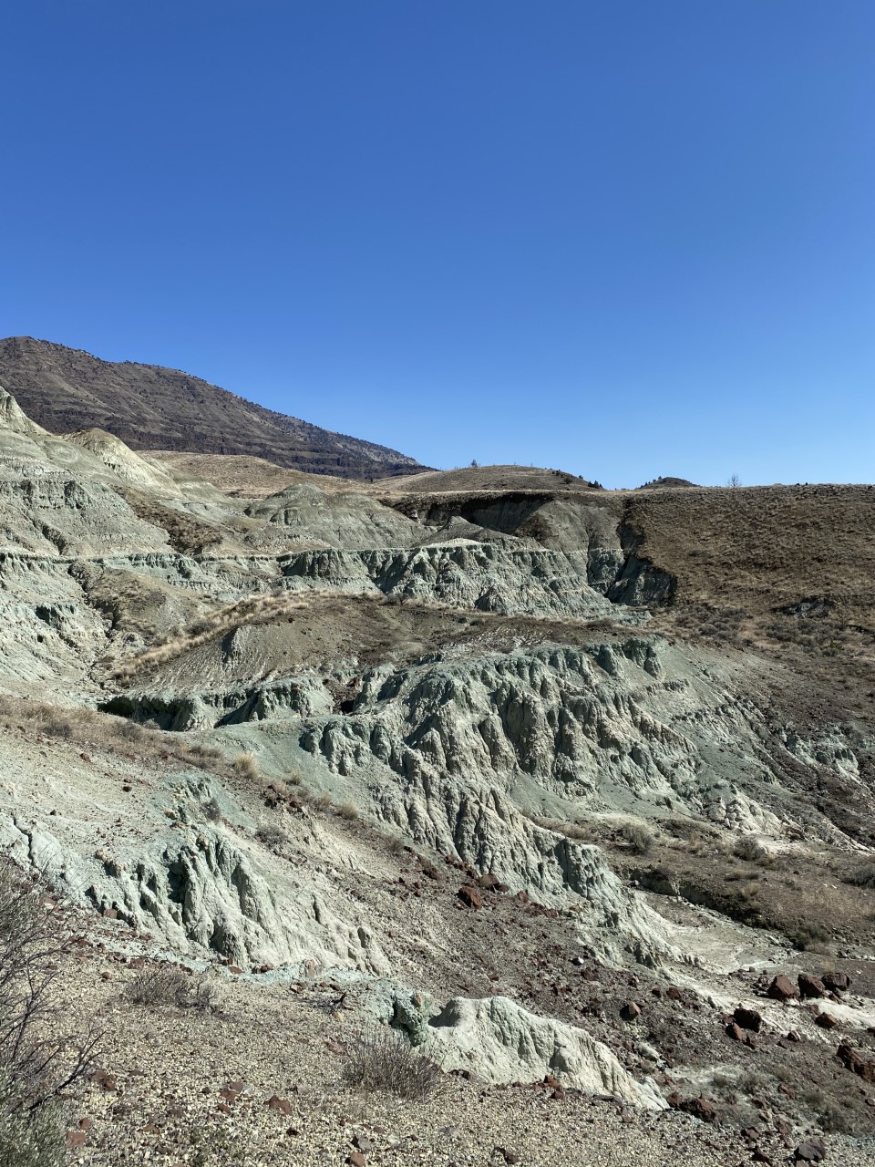
This 1.3 mi (2.1 km) trail follows the canyon floor and ascends 200 ft (60 m) in elevation through blue-green badlands. Exhibits and fossil replicas along the trail tell the story of the fossil landscape.
Dog owners please note: There are over a dozen metal bridges on this trail. All have rough footplates that many dogs refused to cross. You may need to carry your dogs across the bridges.
No collecting is allowed and off-trail hiking is strictly prohibited. Please stay on trail.
Accessibility This 1.3 mi. (2.1 km) roundtrip gravel and claystone trail has 13 bridges with metal grates. The trail has an average width of 57 inches with a minimum width of 18 inches. After 600 feet, there is a large rock in the center of the trail. There are benches along the trail with minimum shade. Potential hazards: Muddy after rain and snow, rocks, metal bridges
This trail is 0.25 mi (0.4 km) roundtrip. Leaf Hill has been extensively excavated and studied by paleontologists. Signs explain more of its history.
No collecting is permitted. Please stay on trail.
Accessibility This trail is a 0.25 mi (0.4 km) loop that starts and ends at the parking area. Average width is 63.4 inches with a minimum width of 42 inches. There are two wooden boardwalks along this trail. This gravel and claystone trail is rocky in some places and there is a tree in the middle of the trail about halfway through the trail. Potential hazards: Muddy after rain and snow, rocky, tree in the middle of the trail
0.3 mi one way · about 20 ft of climbing · 40 ft of descent · 1,917 ft–1,955 ft · gravel, wood surface · hiking
TrailheadPainted Cove Nature Trailhead 1,915 ft Drive there
Painted Cove Trail the Park Service's write-up
10-30 Minutes · dogs allowed
Start Painted Hills Unit
Painted Cove Trail Photo: NPS Photo
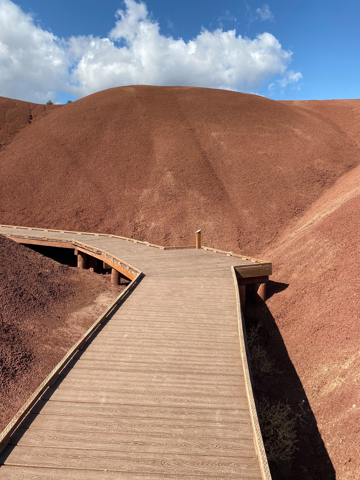
The Painted Cove Trail is 0.25 mi (0.4 km) roundtrip. The Painted Cove is an amazing color palette of vibrant rocks. A portion of this trail features a level boardwalk to cross over sensitive soils.
Please stay on the designated trail.
Accessibility The Painted Cove Trail is 0.25 miles around. This dirt trail has an average width of 72.2 inches with a minimum width of 39 inches. There is a boardwalk at the trailhead that is wheelchair accessible. There are five exposed wooden steps 6 inches high following the boardwalk. There is a bench near the end of the trail loop. Potential hazards: exposed wooden steps, rocks, muddy after rain and snow, boardwalk slippery after rain and snow
0.3 mi one way · about 90 ft of climbing · 2,087 ft–2,176 ft · gravel surface · hiking
Views
Along the wayPainted Hills Overlook
TrailheadPainted Hills Overlook Trailhead 2,091 ft Drive there
Painted Hills Overlook Trail the Park Service's write-up
5-30 Minutes · dogs allowed
Start Painted Hills Unit
Painted Hills Overlook Photo: NPS Photo
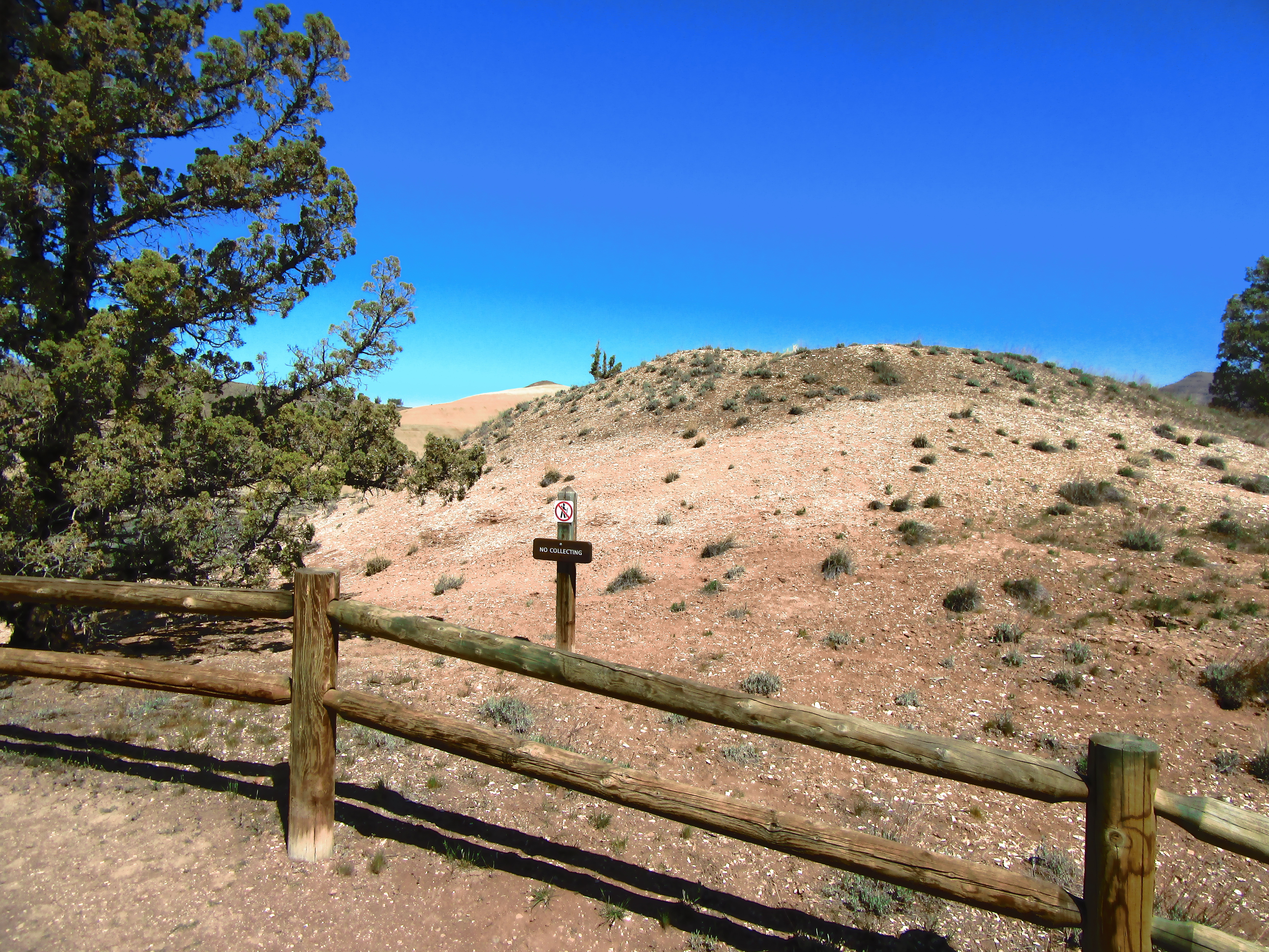
The Painted Hills Overlook Trail is 0.5 mile (0.8 km) roundtrip. This fairly level trail follows an old road and offers further distinctive views of the Painted Hills. Walking on the hills is strictly prohibited.
Accessibility The trail is 0.5 miles in total length. This dirt trail has an average width of 147.2 inches with a minimum width of 15 inches and inclines upwards. There is a wooden fence at the trailhead. There are four benches along this trail, one at the trailhead under a shady pavilion, one about 1/4 of the way up the trail, one about halfway up the trail, and one at the end of the trail. Potential hazards: Rocks, high winds, muddy after rain and snow
0.1 mi one way · about 40 ft of climbing · 2,232 ft–2,267 ft · gravel surface · hiking
TrailheadRed Scar Knoll Trailhead 2,233 ft Drive there
Red Scar Knoll Trail the Park Service's write-up
15-30 Minutes · dogs allowed
Start Painted Hills Unit
Red Scar Knoll Photo: NPS Photo / P. Gamman
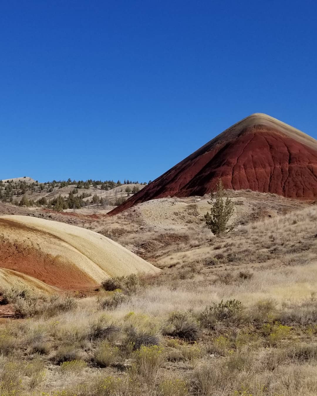
This mostly level trail is 0.25 mi (0.4 km) long and leads to a hill of bright yellow and red clays; called Red Hill Trail on road signs.
Walking on the exposed soils is strictly prohibited. Please stay on trail.
Accessibility This 0.25 mi (0.4 km) long trail is mostly level with an average width of 57.5 inches with a minimum width of 27 inches. Trail composition varies from compacted gravel to compacted natural material. There is a wooden bridge in the beginning of the trail. There is a wooden bench at the end of the trail. Potential hazards: Rocks, muddy after rain and snow, shrub in middle of the trail
0.3 mi one way · about 50 ft of climbing · 2,242 ft–2,289 ft · gravel surface · hiking
HistoryVisitor centers
Along the wayCant RanchCant Ranch House Visitor Center
River Trail the Park Service's write-up
10-35 Minutes · dogs allowed
Start Sheep Rock Unit
River Trail Photo: NPS Photo
Starting at the Cant Ranch parking lot, this 0.6 mi (1 km) long trail passes through historic fields and alongside a historic fruit orchard on its way to the John Day River. Fruit may be collected from the orchard when in season, but please do not climb the trees since the branches are old and brittle.
Accessibility This relatively flat trail is 0.6 miles long and has an average width of 57.1 inches wide with a minimum width of 40 inches. There is a bench and wayside partway through the trail and another bench at the end of the trail. There is a picnic table at the end of the trail. Potential hazards: Exposed metal rods
Sheep Rock Overlook Trail the Park Service's write-up
10-30 Minutes · dogs allowed
Start Sheep Rock Unit
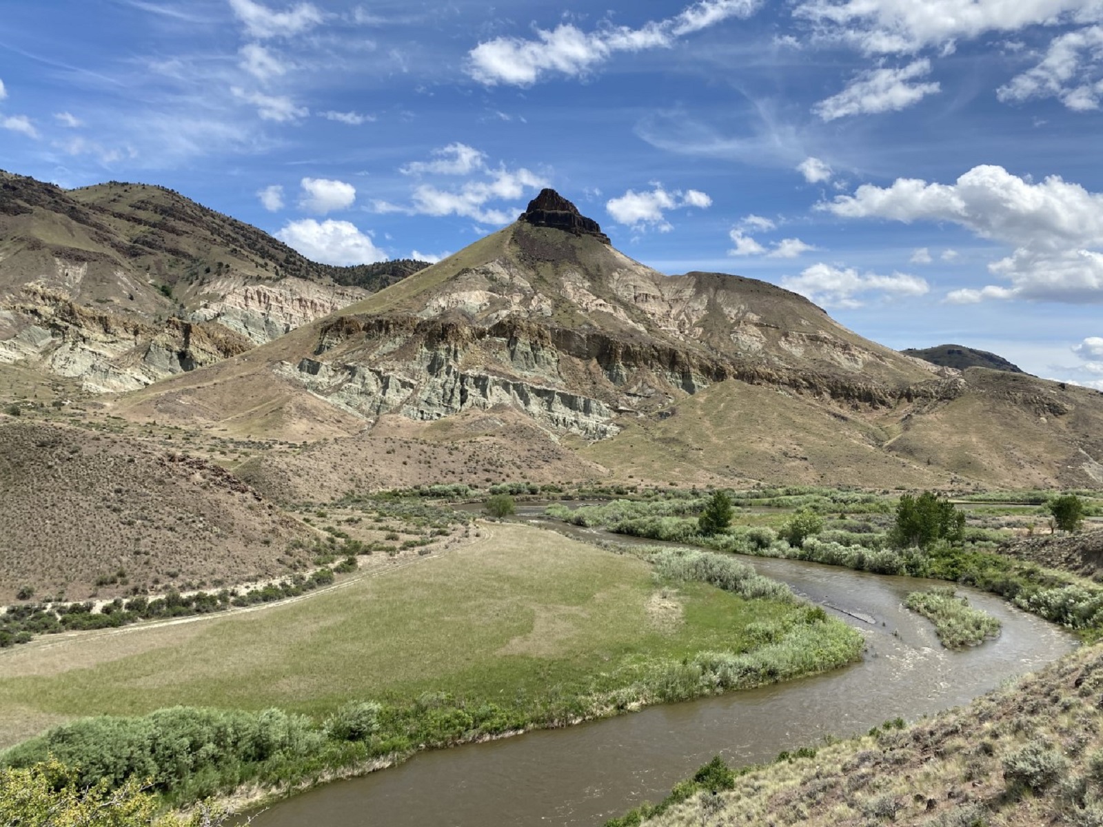
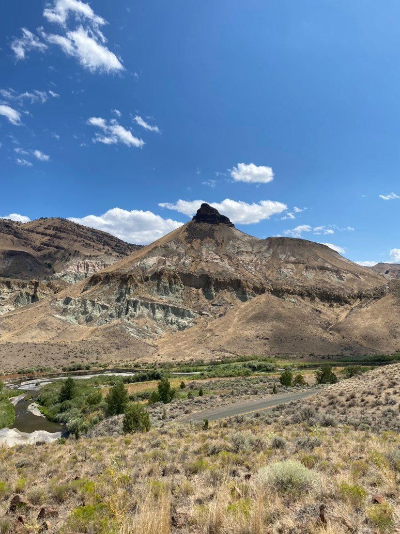
Sheep Rock from the Sheep Rock Overlook Trail Photo: NPS Photo
Starting at the front gate of the historic Cant home, this 0.5 mi (0.8 km) trail ends at an overlook with a view of the river valley with Sheep Rock high above.
Accessibility This 0.5 mi (0.8 km) long gravel trail has an average width of 70.6 inches and a minimum 35 inches. There is a large rock with a dedication to Thomas Condon at the end of the trail. There is a bench at the end of the trail with a view of the John Day River. Potential hazards: large rock, rocks
0.3 mi one way · about 30 ft of climbing · 2,243 ft–2,273 ft · asphalt surface · hiking
Picnic areas
Along the wayForee Picnic Area
Story in Stone Trail the Park Service's write-up
15-30 Minutes · dogs allowed
Start Sheep Rock Unit
Story in Stone Photo: NPS Photo
The mostly level Story in Stone Trail loops through dramatic pillars of blue-green claystone rocks that make up the Turtle Cove formation of John Day Fossil Beds. Before the trail intersection, the walkway is paved for 900 ft (275 m). Please stay on trail, no collecting permitted, and keep your pets leashed.
Accessibility The Story in Stone Trail is a 0.3 mi (0.5 km) loop with no trail obstructions. The trail is paved for 900 ft (275 m) and is gravel after that. Average trail width is 53 inches with a minimum trail width of 34 inches. There are benches along the trail but with little shade. Potential hazards: muddy after rain and snow, rocks
0.1 mi one way · about 40 ft of climbing · 2,320 ft–2,359 ft · gravel surface · hiking
Thomas Condon Overlook Trail the Park Service's write-up
5-20 Minutes · dogs allowed
Start Sheep Rock Unit
View of Sheep Rock from the Thomas Condon Overlook Trail Photo: NPS Photo
This 0.25 mi (0.4 km) long trail starts at the far end of the Thomas Condon Visitor Center parking lot and ends at an overlook of the river valley.
Accessibility This 0.25 mi (0.4 km) long trail has an average trail width of 59.5 inches with a minimum width of 25 inches. There are four wooden steps that are 2 inches high. There is a bench at the end of the trail. Potential hazards: Rocks, wooden steps, high winds, muddy after rain and snow
The lines are the National Park Service's public trails layer, the trailheads and the waterfalls, views, peaks and historic places along them the Service's public points of interest, read 2026-10-14 and simplified for the map. The write-ups are the Service's own "things to do", unedited. Heights come from USGS 3DEP through Terrain Tiles on AWS (Mapzen/Tilezen), read along each line and rounded; a short trail on steep ground can be off by a few tens of feet. Closures change: check the park's own site before you go.