John Day Fossil Beds National Monument · Oregon

Geologic Time Trail

0.3 mi of trail, end to end · about 50 ft of climbing · 1,483 ft–1,533 ft · native surface · trail class Developed · hiking

1,483 ft 1,531 ft · 0.3 mi high 1,533 ft

Trailhead Trail Of The Fossils, Clarno Arch Trail 1,476 ft Drive there

Geologic Time Trail the Park Service's write-up

10-35 Minutes · dogs allowed

Start Clarno Unit
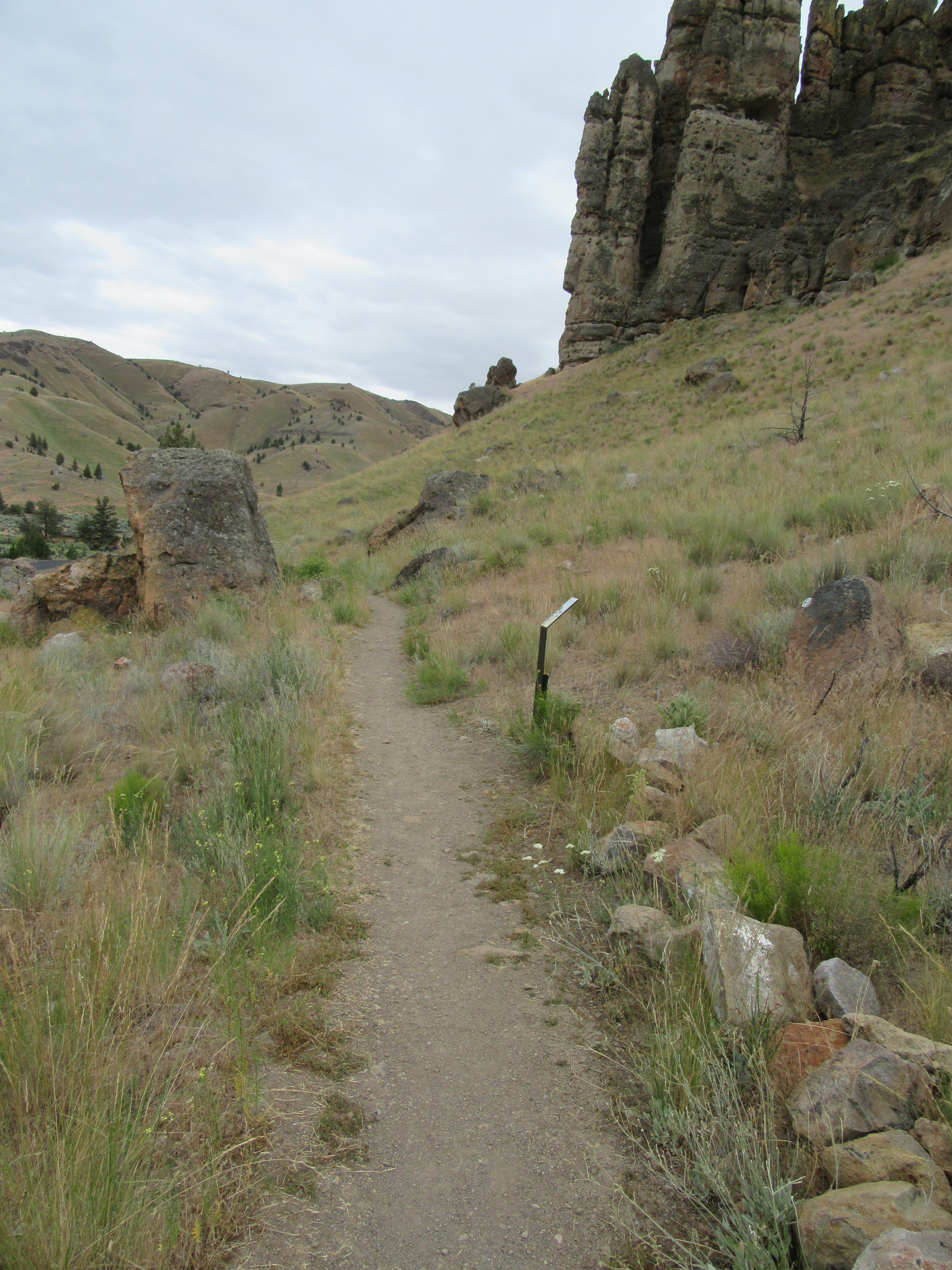
A gravel path goes through grass and shrubs
Geologic Time Trail Photo: NPS Photo

Travel in time between the past and present on this 0.5 mi (0.8 km) path connecting the Trail of Fossils and the picnic area.

No collecting is permitted.

Accessibility This relatively flat compacted gravel trail has an average width of 37.7 inches with a minimum width of 20 inches. Potential Hazards: Muddy after rain and snow

This hike on nps.gov

Trail of Fossils the Park Service's write-up

10-35 Minutes · dogs allowed

Start Clarno Unit
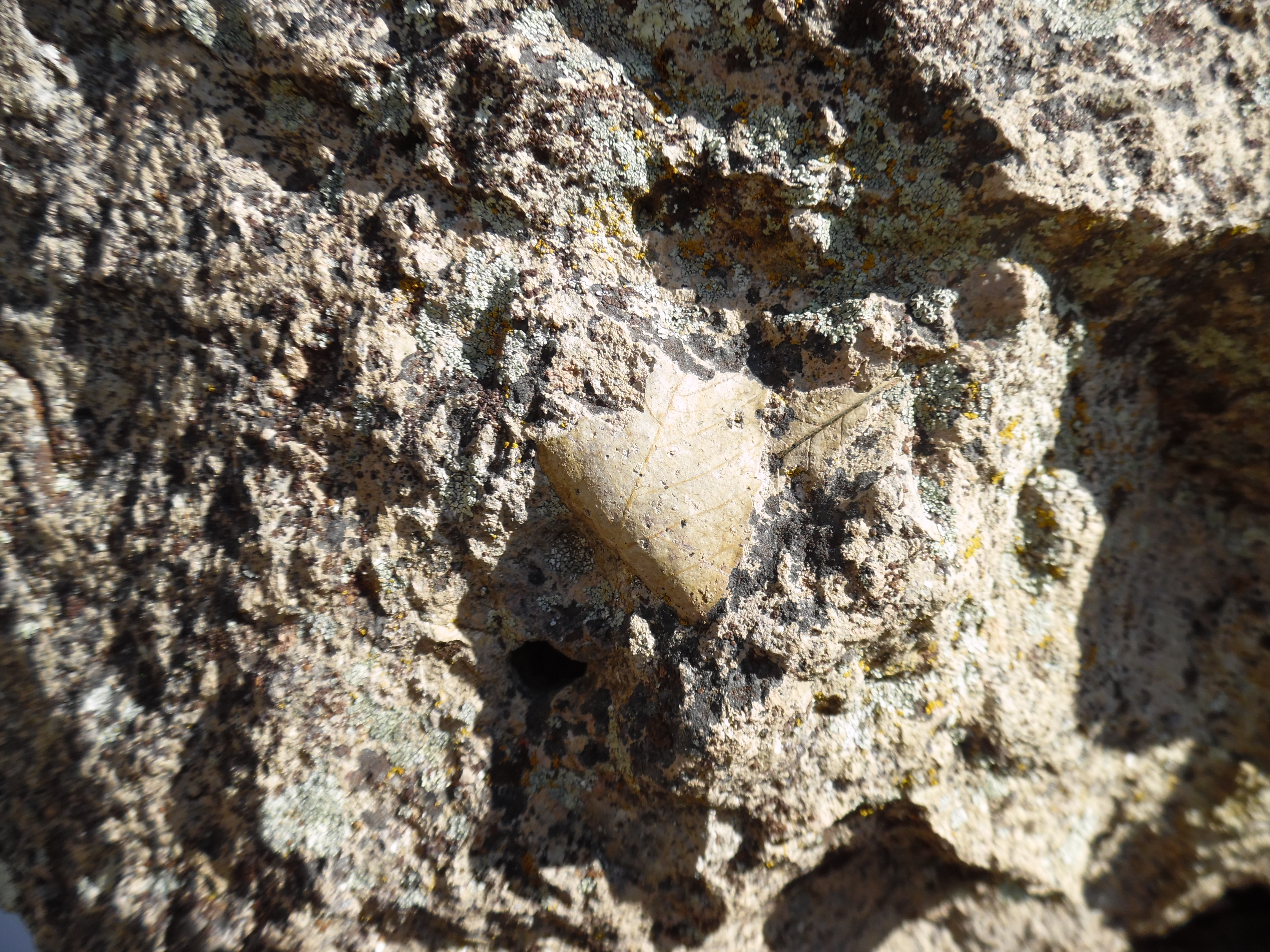
A leaf fossil in a rock
Leaf Fossil Along Trail of Fossils Photo: NPS Photo

The Trail of Fossils is 0.25 mi (0.4 km) long and is the best trail in the monument to see real fossils. Look for leaf imprints and pieces of wood within the boulders that have fallen from the cliffs.

No collecting is allowed and please stay on trail.

Accessibility This 0.25 mi (0.4 km) long trail has a minimum tread width of 14 inches with average cross slope of 2.8 inches. This trail has uneven terrain with rocks and gravel. Potential hazards: Rocks, muddy after rain and snow

This hike on nps.gov

Other trails from the Trail Of The Fossils, Clarno Arch Trail

All 17 trails in John Day Fossil Beds National MonumentFind a trailOn the parks mapPark on nps.gov

About this trail's facts

The lines are the National Park Service's public trails layer, the trailheads and the waterfalls, views, peaks and historic places along them the Service's public points of interest, read 2026-10-16 and simplified for the map; the length is the line's, end to end. The write-ups are the Service's own "things to do" text, unedited. Heights come from USGS 3DEP through Terrain Tiles on AWS (Mapzen/Tilezen), read along each line and rounded; a short trail on steep ground can be off by a few tens of feet. Closures change: check the park's own site before you go.