0.2 mi of trail, end to end · about 70 ft of climbing · 2,236 ft–2,300 ft · native surface · trail class Developed · hiking
Picnic areas
Along the wayForee Picnic Area
Flood of Fire Trail the Park Service's write-up
15-30 Minutes · dogs allowed
Start Sheep Rock Unit
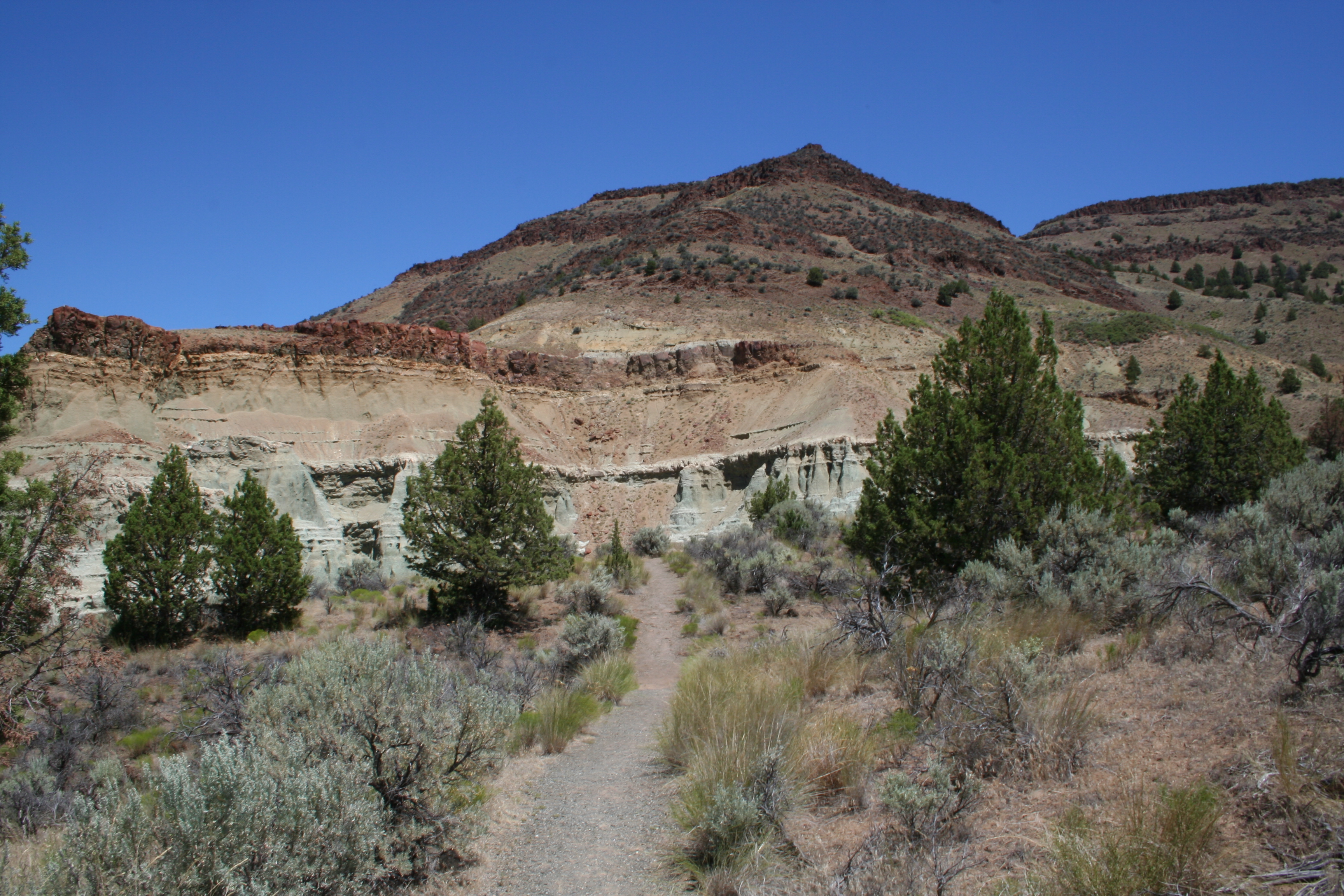
Flood of Fire Trail Photo: NPS Photo / B. Lillie
Mostly easy with several stair steps, this 0.5 mi (0.8 km) long trail ends at a dramatic cliff face and a view of colorful geologic formations and fiery floods of basalt across the valley.
Accessibility This 0.5 mile trail is mostly easy with several stair steps (16" x 14" max) and gravel and rocky terrain. The minimum trail width is 24 inches. Potential hazards: rocks, several rock stair steps, muddy after rain and snow
The lines are the National Park Service's public trails layer, the trailheads and the waterfalls, views, peaks and historic places along them the Service's public points of interest, read 2026-10-16 and simplified for the map; the length is the line's, end to end. The write-ups are the Service's own "things to do" text, unedited. Heights come from USGS 3DEP through Terrain Tiles on AWS (Mapzen/Tilezen), read along each line and rounded; a short trail on steep ground can be off by a few tens of feet. Closures change: check the park's own site before you go.