
West Mountain Trail
An Overview: West Mountain Trails the Park Service's write-up
40-240 Minutes · dogs allowed · season Trails are accessible and enjoyable all year long.
Start Hot Springs National Park
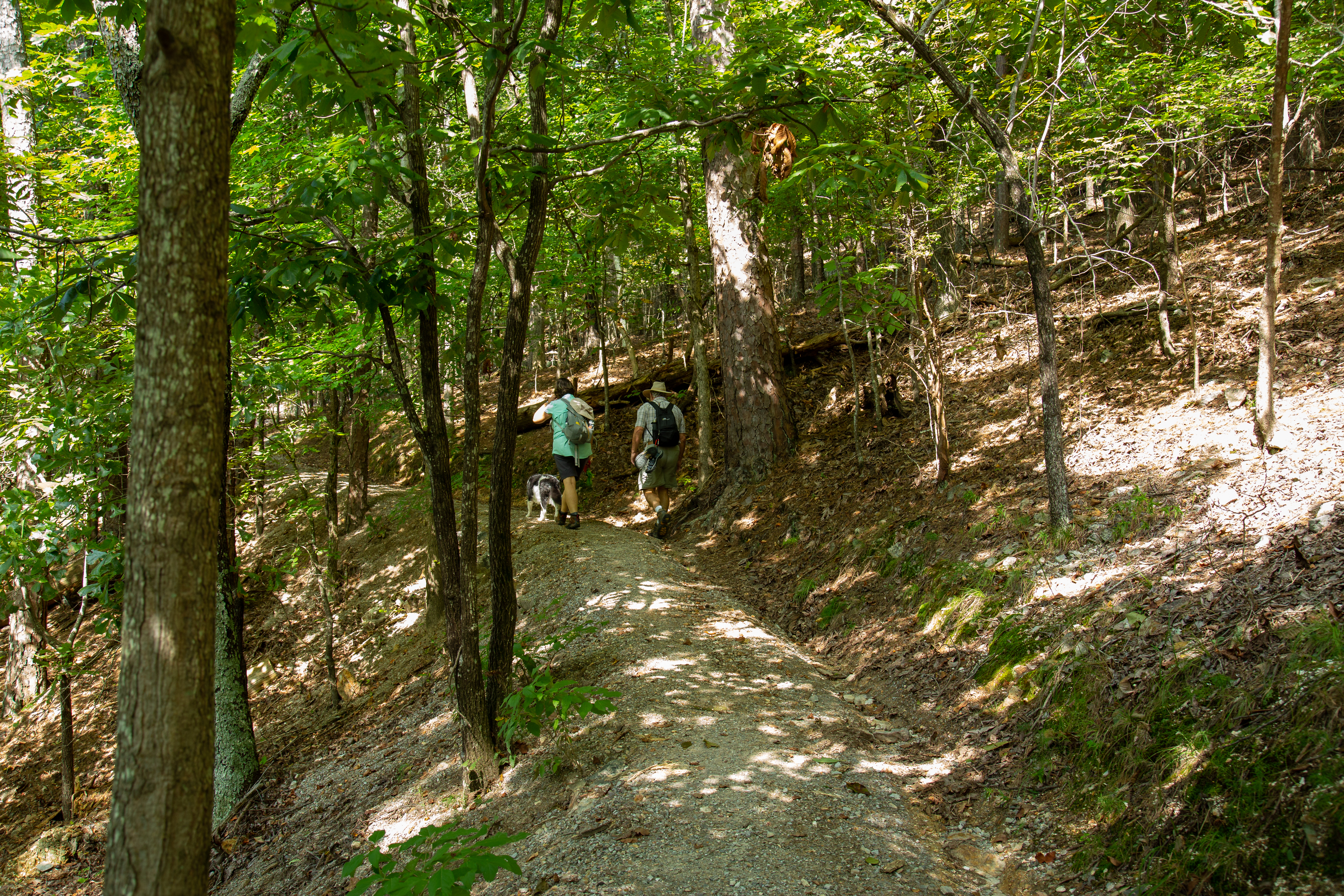
The West Mountain trails are typically less traveled, providing greater opportunities for wildlife sightings. You can get to these trails via Whittington Park and the Canyon Trailhead. See the West Mountain trail map for more information.
Easy:
Whittington Trail - The flat, gravel trail is popular with joggers and walkers. Whittington Trail loops around Whittington Park.
Distance (one way): 1.2 mi (1.9 km)
Elevation gain: 647-685ft (197-209m)
Grade: 0.6%
Moderate:
Oak Trail - The northeastern end of Oak Trail is mostly flat. The trail is fairly steep for a short distance between West Mountain Trail and West Mountain Drive.
Distance (one way): 1.0mi (1.6km)
Elevattion gain: 698-922ft (213-281m)
Grade: 4.2%
West Mountain Trail - Both sections of West Mountain Trail have gradual change in elevation. Note: West Mountain Trail can be made into a loop by using Mountian Top Trail (elevation change: 400 feet in this section).
Distance (one way): 1.2mi (1.9km)
Elevation gain: 926-992ft (282-302m)
Grade: 1.1 %
Strenuous:
Canyon Trail - The West Mountain trails can be reached from downtown via Canyon Trail. The trailhead is behind the Mountain Valley Water building. The section between West Mountain Drive and West Mountain Trail is very steep.
Distance (one way): 0.7mi (1.1km)
Elevation gain: 626-933ft (191-303m)
Grade: 10%
Mountain Top Trail - If hiking southward, the trail is strenous, as it gains elevation quickly. If hiking northward, there is a steady rise in elevation until you cross Sunset Trail; the trail descends steeply to the trailhead at Whittington Park.
Distance (one way): 1.5mi (2.4km)
Elevation gain: 675-1100ft (206-335m)
Grade: 5.4%
Accessibility Whittington Trail is accessible by most mobility devices. The other trails on West Mountain are not ADA compliant.
Canyon Trail the Park Service's write-up
25-45 Minutes · dogs allowed
Start Trail head
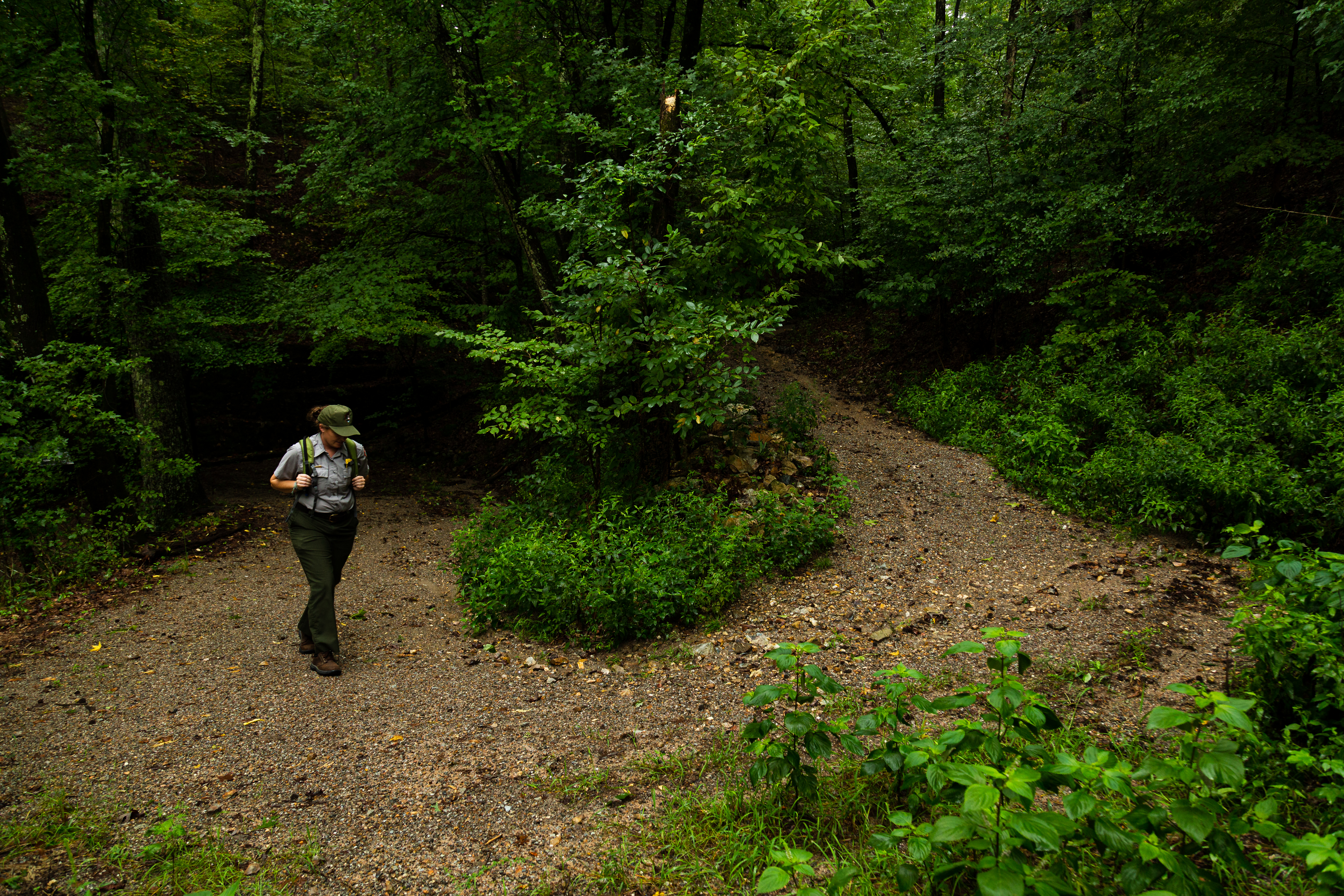
The West Mountain trails can be reached from downtown via Canyon Trail. The trailhead is behind the Mountain Valley Water building. The section between West Mountain Drive and West Mountain Trail is very steep.
Distance (one way): 0.7mi (1.1km)
Elevation: 626 - 933ft (191 - 303m)
Typical grade: 10%
Accessibility This is a steep, packed gravel trail. It is not ADA compliant.
Mountain Top Trail the Park Service's write-up
45-75 Minutes · dogs allowed
Start Trail head
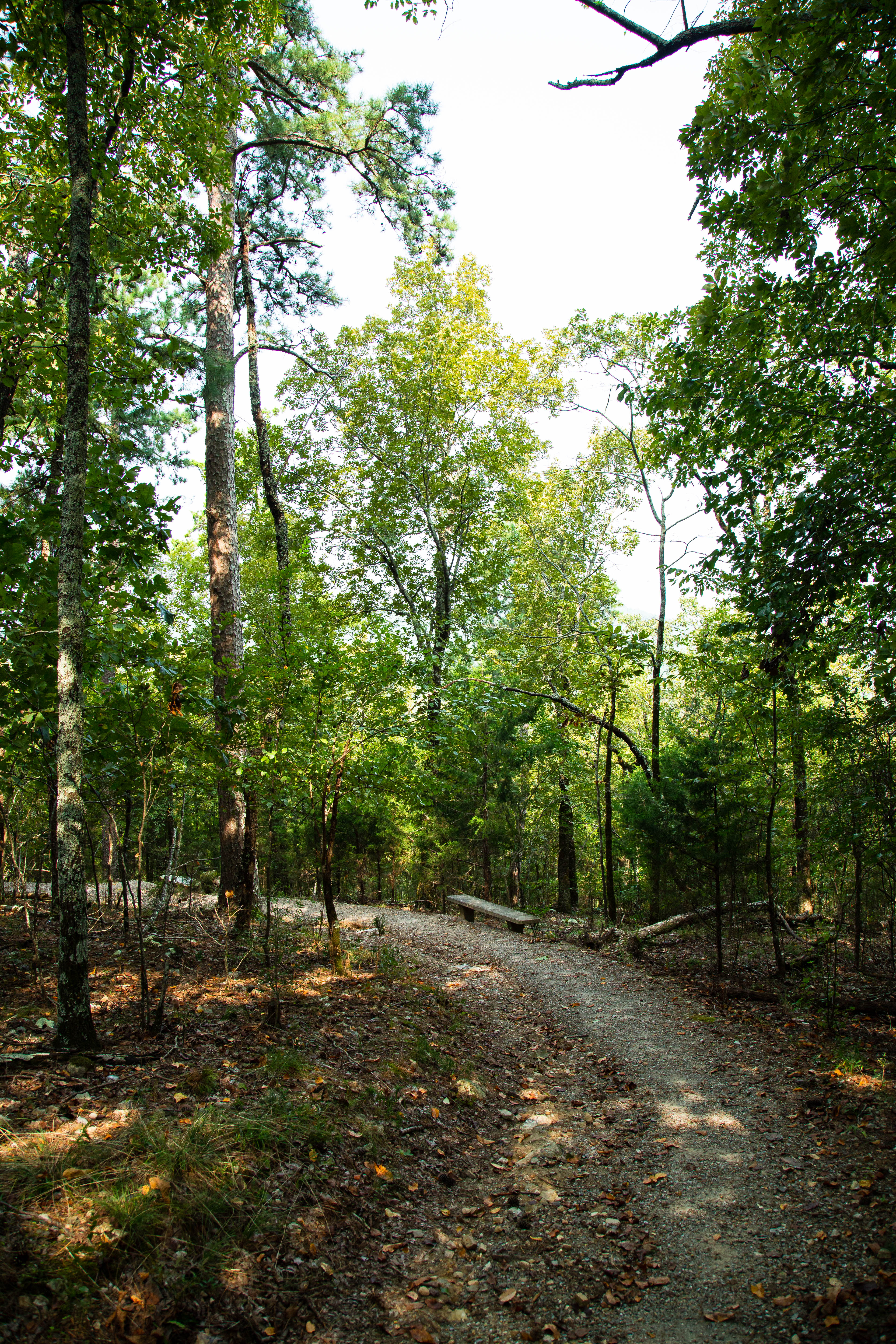
Mountaintop trail can be linked with Canyon Trail and West Mountain trail to complete a loop around West Mountain. If hiking southward, the trail is strenuous, as it gains elevation quickly. If hiking northward, there is a steady rise in elevation until you cross Sunset Trail; the trail descends steeply to the trailhead at Whittington Park.
Distance (one way): 1.5mi (2.4km)
Elevation: 675 - 1100ft (206 - 335m)
Typical grade: 5.4%
Accessibility This is a rocky, packed gravel, steep trail. It is not ADA compliant.
West Mountain Trail the Park Service's write-up
30-60 Minutes · dogs allowed
Start Trail head
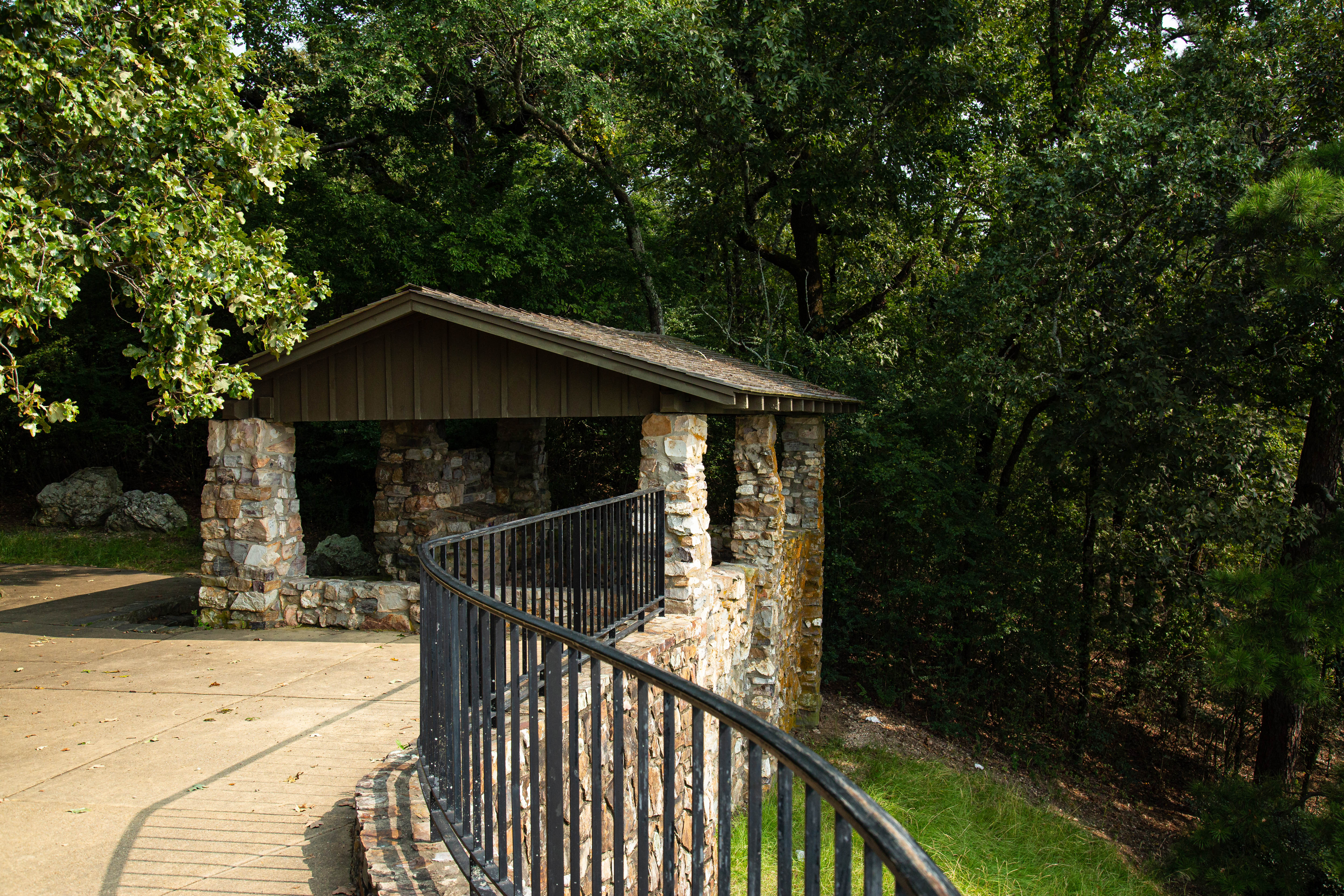
Both sections of West Mountain Trail have gradual change in elevation. Note: West Mountain Trail can be made into a loop by using Mountain Top Trail (elevation change: 400 feet in this section).
Distance (one way): 1.2mi (1.9km)
Elevation: 926 - 992ft (282 - 302m)
Typical grade: 1.1%
Accessibility This is packed gravel trail. It is not ADA compliant.