
Sunset Trail
Sunset Trail 10 mi one way · the Park Service's write-up
6-9 Hours · dogs allowed · season The trail is accessible and enjoyable all year long.
Start Sunset Trail
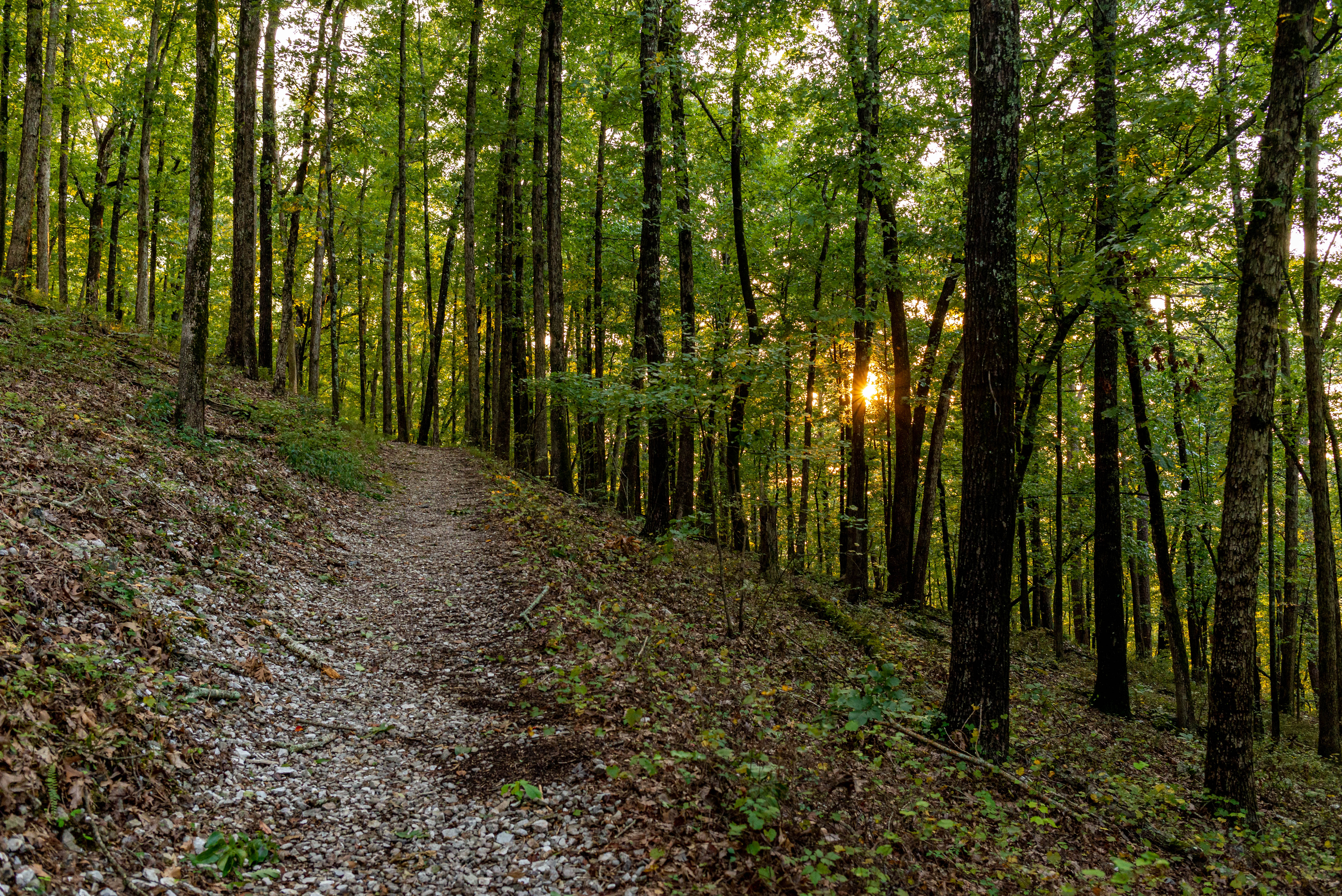
The Sunset Trail is the longest trail in Hot Springs National Park, covering approximately 10 miles one way or complete the full 13-17 mile loop. This trail offers the most dynamic views of the park, as it crosses a variety of terrain and makes it way through more remote areas of the park following the inner edge of the park's boundary.
The trail crosses three major roads, making it possible to break the entire trail up into smaller sections: West Mountain (2.8 miles), Sugarloaf Mountain (2.6 miles), and Stonebridge Road (3.8 miles).
The Sunset Trail can be combined with Hot Springs Mountain trails (like the Gulpha Gorge Trail (.3 miles) and the Oertel Trail (1.4 miles) and West Mountain trails (like the Oak Trail (.7 miles), West Mountain Trail (1.6 miles), and Mountain Top Trail (.7 miles) to complete the strenuous 13 -17-mile loop hike.
See the Sunset Trail map for more information.
Accessibility The trail is dirt and gravel with uneven footing. It is not ADA accessible.