
Peak Trail
Honeysuckle Trail the Park Service's write-up
20-45 Minutes · dogs allowed
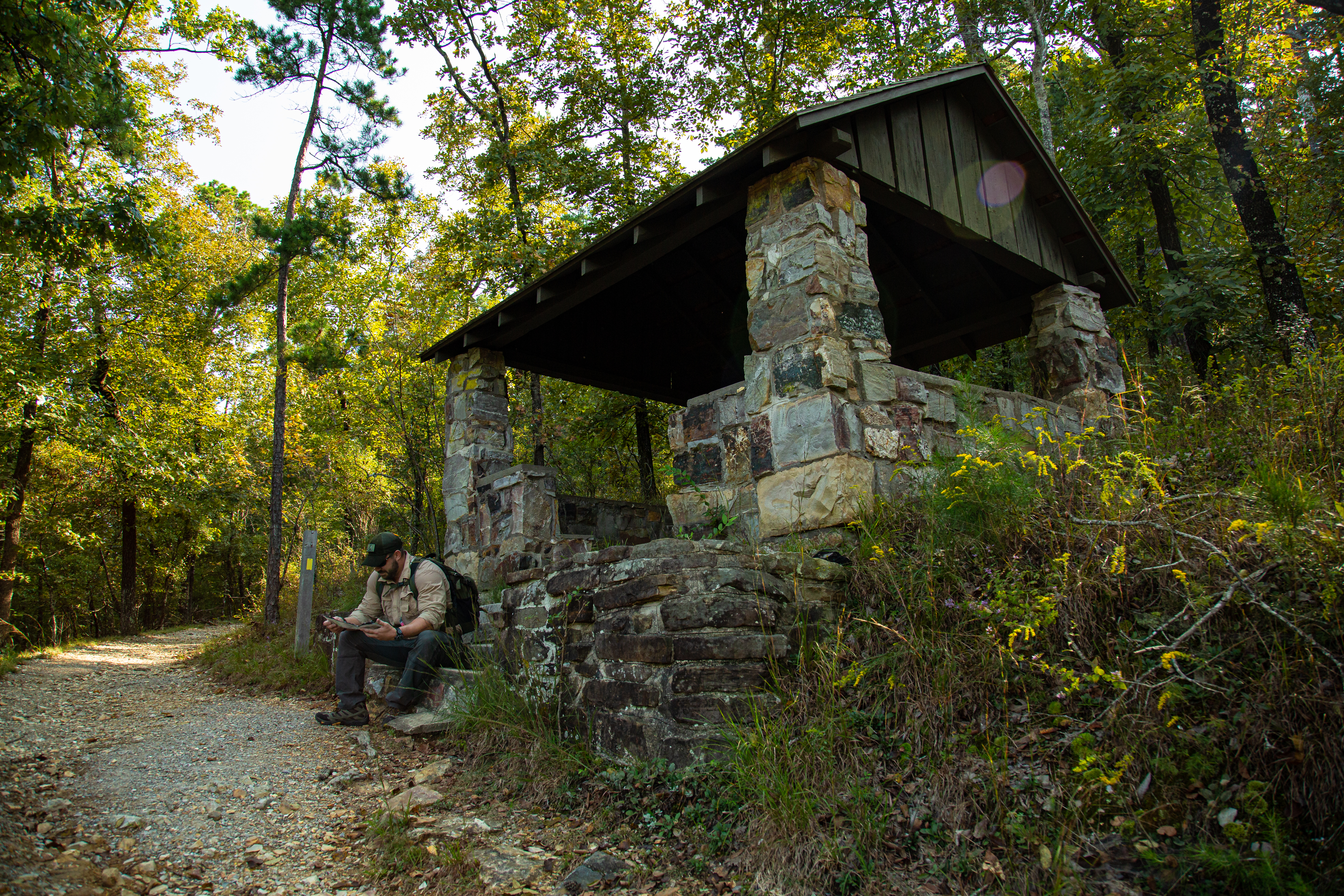
Honeysuckle Trail connects Peak Trail with Hot Springs Mountain Trail.
Distance (one way): 0.5mi (0.8km)
Elevation: 727 - 870ft. (222 - 265m)
Typical grade: 5.4%
Accessibility This trail is narrow, steep, rocky, and made primarily of packed gravel. It is not an ADA compliant trail.
Peak Trail the Park Service's write-up
40 Minutes · dogs allowed · season The Peak Trail is accessible and enjoyable all year long.
Start Peak Trail
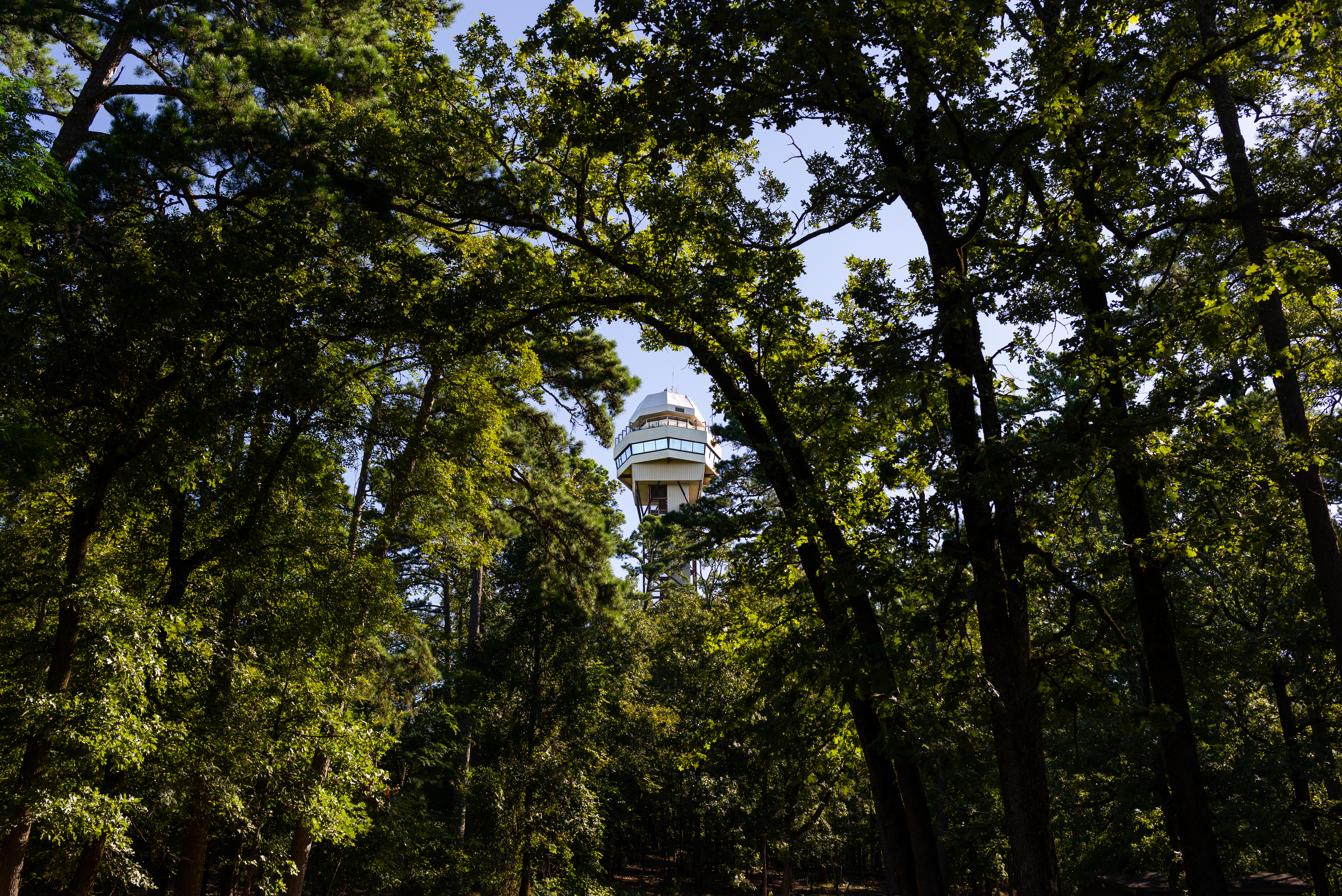
The Peak Trail leads directly to the Hot Springs Mountain Tower and the top of Hot Springs Mountain. Visitors can choose to explore the Mountain Tower, take in views from the overlooks, or enjoy a picnic from the top of Hot Springs Mountain. The Peak Trail is a great connector to a lot of the other hiking trails around Hot Springs Mountain for those looking to explore a bit further.
The trailhead is located near the center of the Grand Promenade. From the Fordyce Bathhouse, follow the stairs up behind the Shell Fountain, follow the Grand Promenade to the left, and you'll see the trailhead on the right-hand side. The trail is 0.6 mi (1.0 km) long with an elevation gain of roughly 400 feet (644 - 1044 ft/196-318 m). It has a 12.6% grade and is initially paved before turning to gravel.
See the Hot Springs and North Mountain trail map for more information.
Accessibility The beginning of Peak Trail is paved then turns to gravel. It is a moderate trail: 0.6 mi (1.0 km), 644-1044 ft (196-318 m) elevation, and typical grade of 12.6%.