
Oertel Trail
Grand Avenue Trail the Park Service's write-up
10-20 Minutes · dogs allowed
Start Trail head
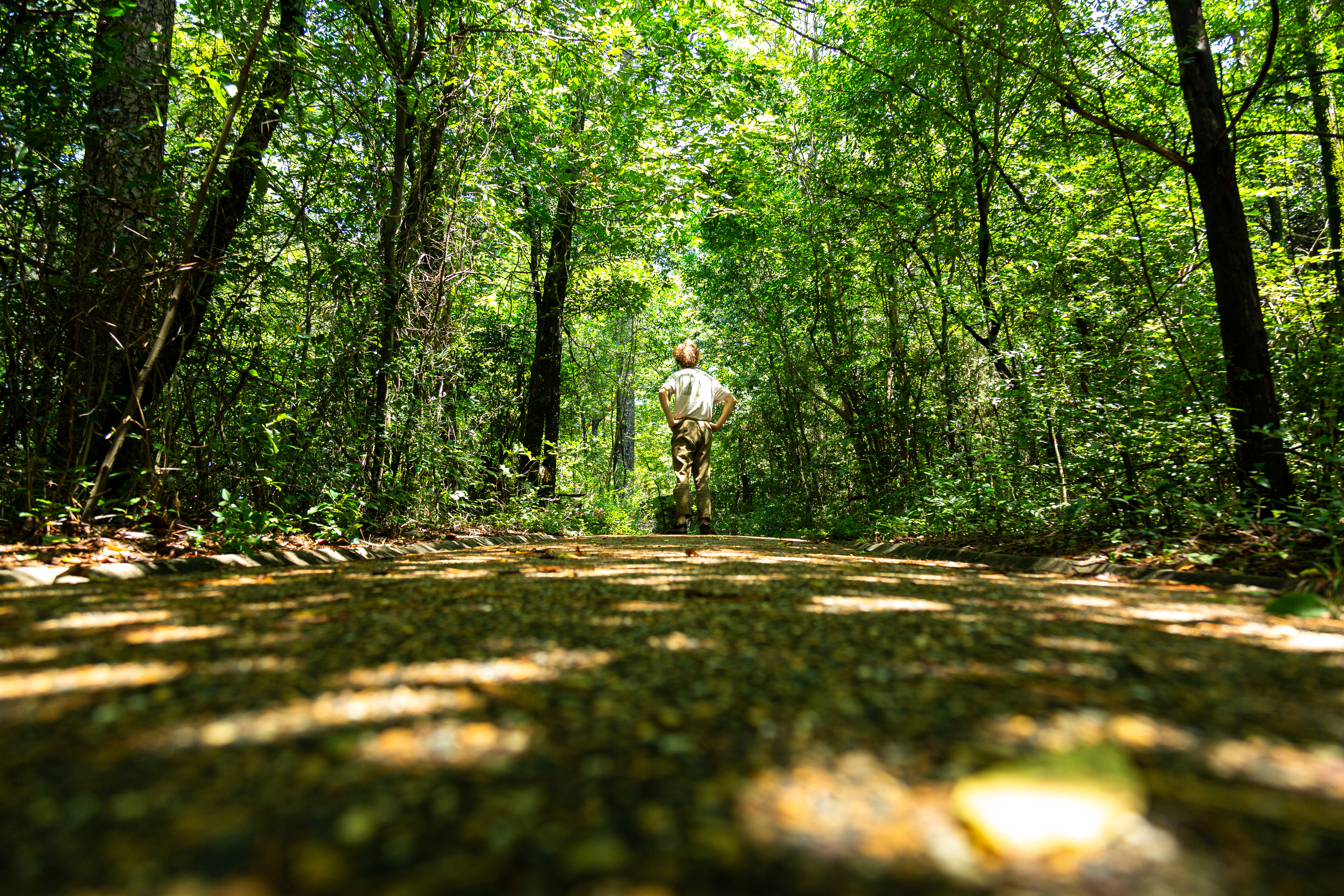
Grand Avenue Trail connects Oertel Trail with Grand Avenue. A local motel lies just south of the trailhead.
Distance (one way): 0.2mi (0.3km)
Elevation: 581 - 631ft (177 - 192m)
Typical grade: 4.7%
Accessibility This is a packed gravel trail. It is not ADA compliant.
Oertel Trail the Park Service's write-up
30-60 Minutes · dogs allowed
Start Trailhead
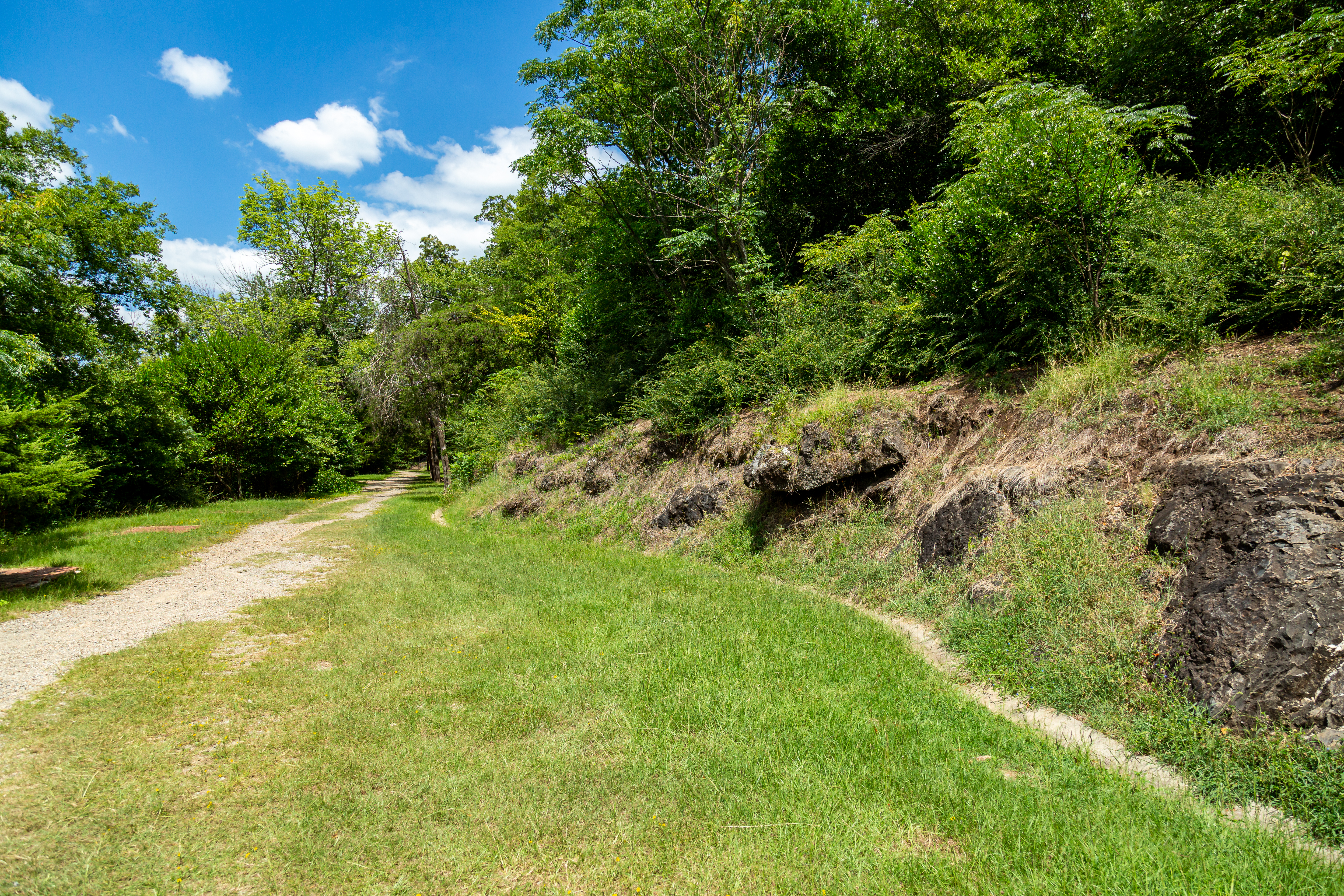
The Oertel Trail is formerly known as the Dead Chief Trail.
From downtown, ascend the Stephen's Balustrade (grand staircase) behind the Fordyce Visitor Center to the Grand Promenade and climb the next two sets of steps until you reach the gravel road. Take the road right until you reach an iron gate; the trailhead begins here. Oertel Trail ranges from moderate to very steep grade.
Distance (one way): 1.4mi (2.3km)
Elevation: 670 - 863ft. (204 - 263m)
Typical grade: 2.6%
Accessibility The Oertel Trail is a steep, bumpy gravel trail and is not ADA accessible.
Reserve Trail the Park Service's write-up
10-25 Minutes · dogs allowed
Start Trail head
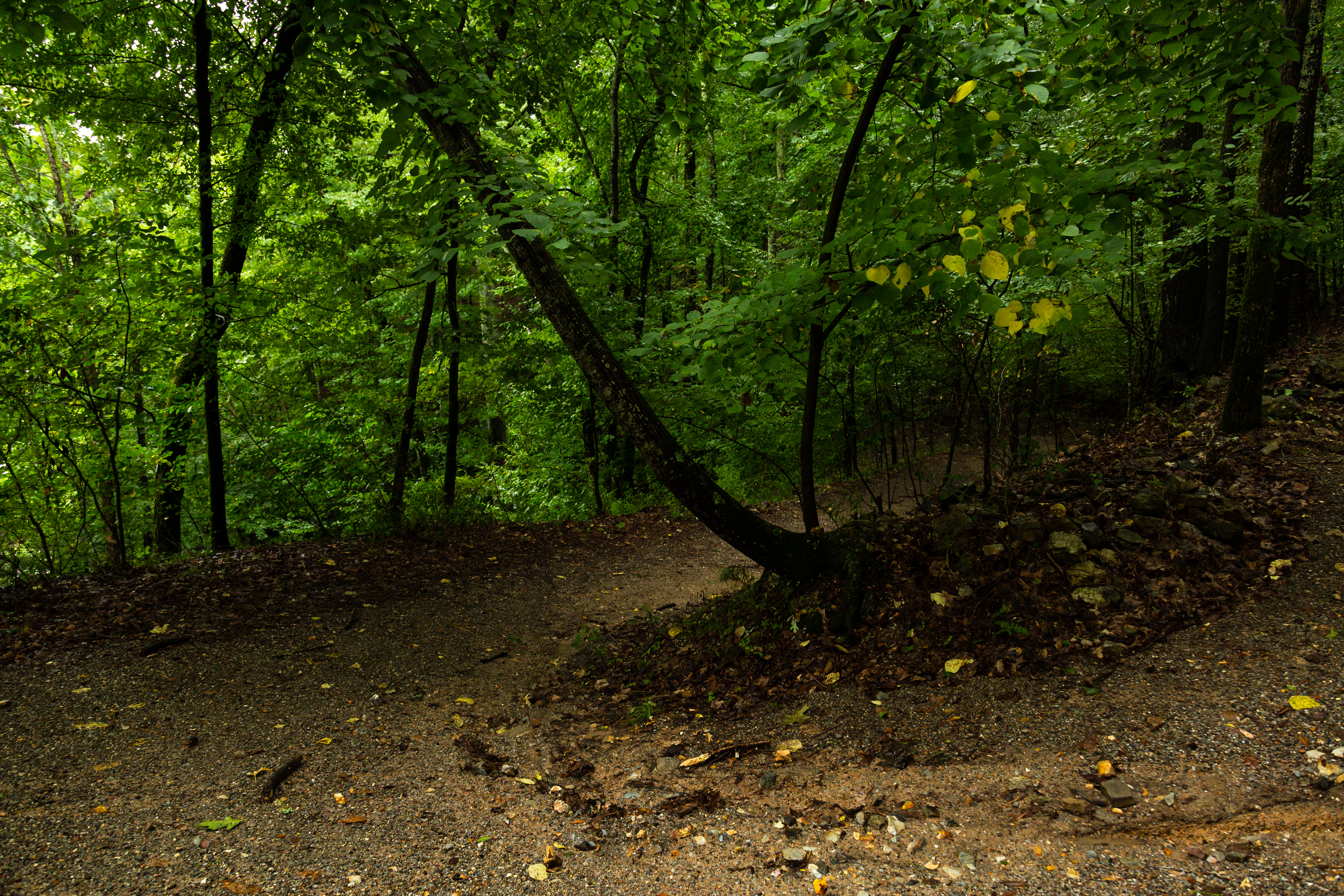
Reserve Trail connects Oertel Trail with Spring Street and Reserve Street at a "Y" intersection.
Distance (one way): 0.3mi (0.5km)
Elevation: 622 - 713ft (190 - 217m)
Typical grade: 5.7%
Accessibility This trail is not ADA compliant.
Short Cut Trail the Park Service's write-up
10-25 Minutes · dogs allowed
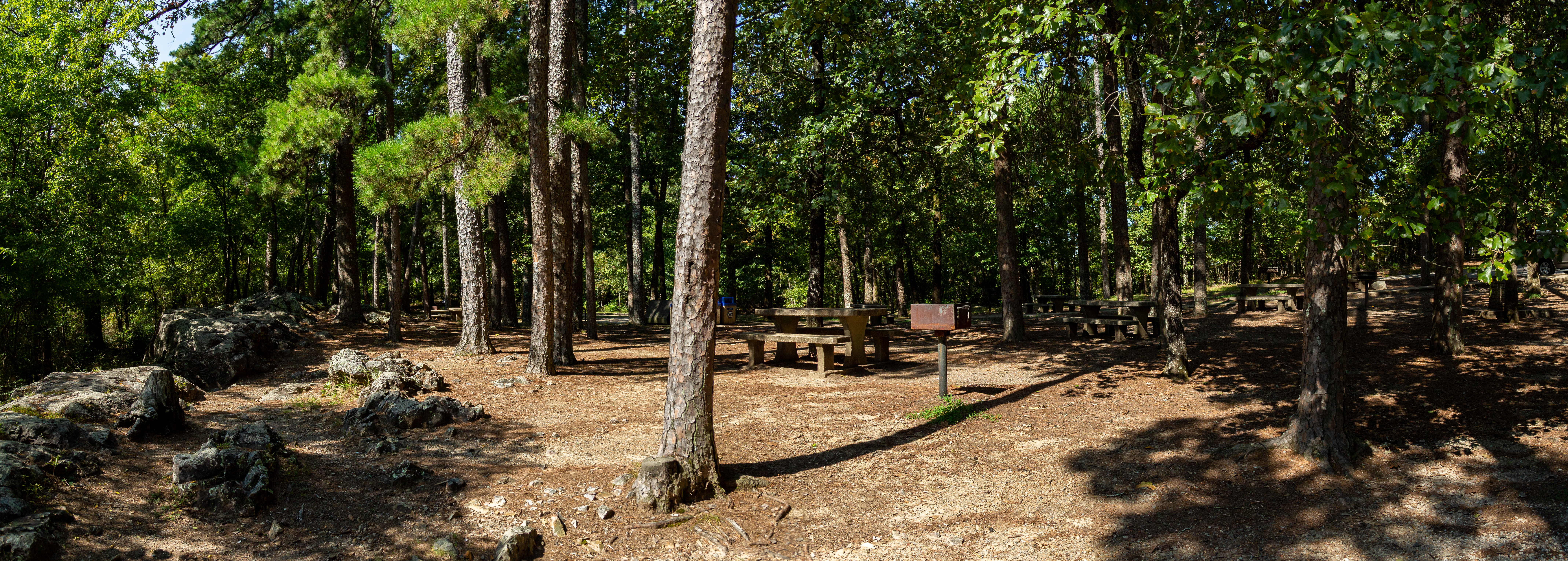
Short Cut Trail connects Oertel Trail with Hot Springs Mountain Trail near the picnic area atop Hot Springs Mountain.
Distance (one way): 0.2 mi (0.3km)
Elevation: 813 - 1036ft. (247 - 316m)
Typical grade: 21.1%
Accessibility This trail is made of loose rocky, gravel. This trail is not ADA compliant.