Hot Springs National Park · Arkansas

Mountain Top Trail

1.4 mi of trail, end to end · about 400 ft of climbing · 674 ft–1,082 ft

674 ft 712 ft · 1.4 mi high 1,081 ft

Mountain Top Trail the Park Service's write-up

45-75 Minutes · dogs allowed

Start Trail head
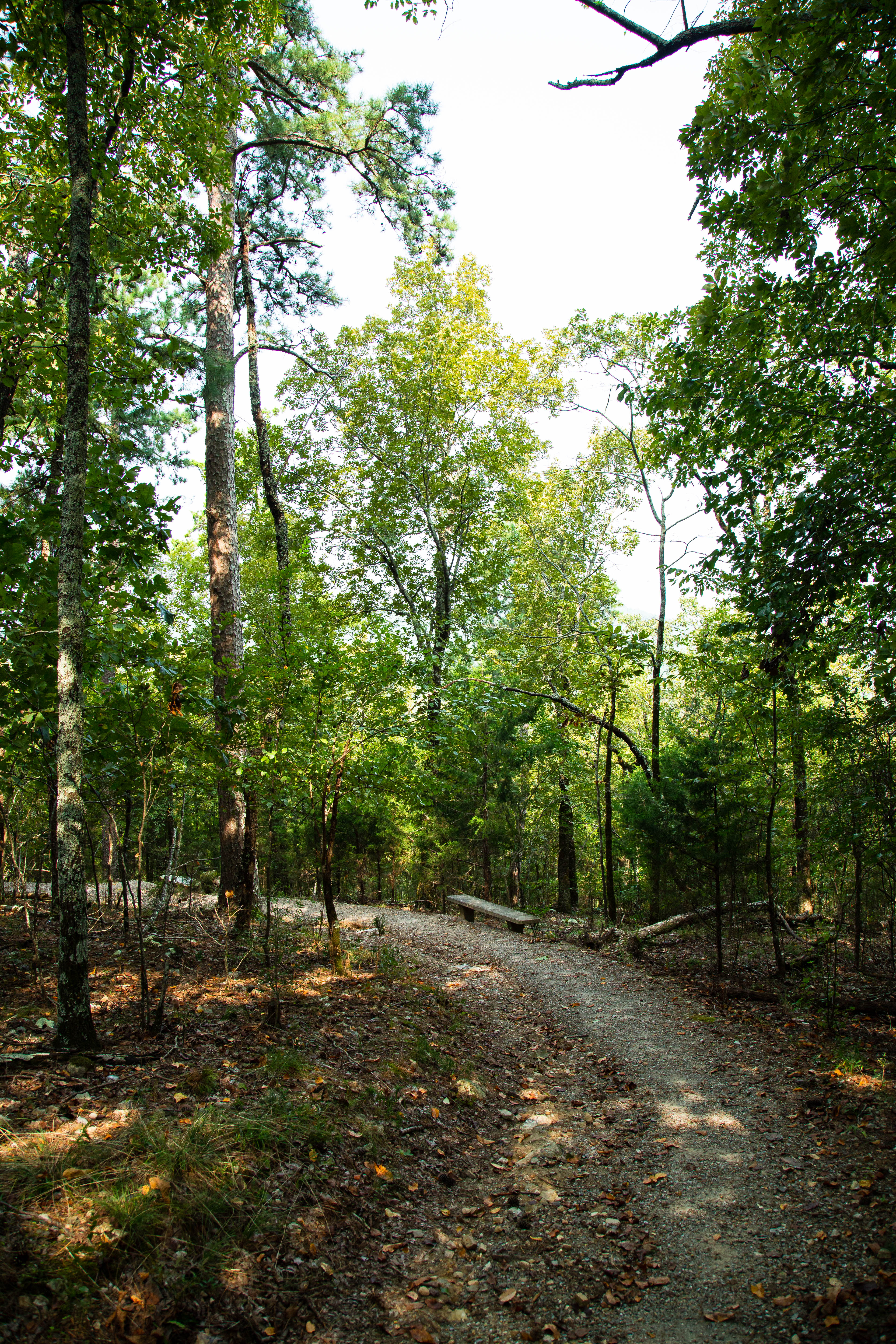
A rocky trail curves through the trees on a hillside.
A view of a trail on West Mountain. Photo: NPS Photo/Mitch Smith

Mountaintop trail can be linked with Canyon Trail and West Mountain trail to complete a loop around West Mountain. If hiking southward, the trail is strenuous, as it gains elevation quickly. If hiking northward, there is a steady rise in elevation until you cross Sunset Trail; the trail descends steeply to the trailhead at Whittington Park.

Distance (one way): 1.5mi (2.4km)

Elevation: 675 - 1100ft (206 - 335m)

Typical grade: 5.4%

Accessibility This is a rocky, packed gravel, steep trail. It is not ADA compliant.

This hike on nps.gov

All 28 trails in Hot Springs National ParkFind a trailOn the parks mapPark on nps.gov

About this trail's facts

The lines are the National Park Service's public trails layer, the trailheads and the waterfalls, views, peaks and historic places along them the Service's public points of interest, read 2026-10-16 and simplified for the map; the length is the line's, end to end. The write-ups are the Service's own "things to do" text, unedited. Heights come from USGS 3DEP through Terrain Tiles on AWS (Mapzen/Tilezen), read along each line and rounded; a short trail on steep ground can be off by a few tens of feet. Closures change: check the park's own site before you go.