
Hot Springs Mountain Trail
An Overview: Hot Springs and North Mountain Trails the Park Service's write-up
30-300 Minutes · dogs allowed · season Trails are accessible and enjoyable all year long.
Start Hot Springs Mountain
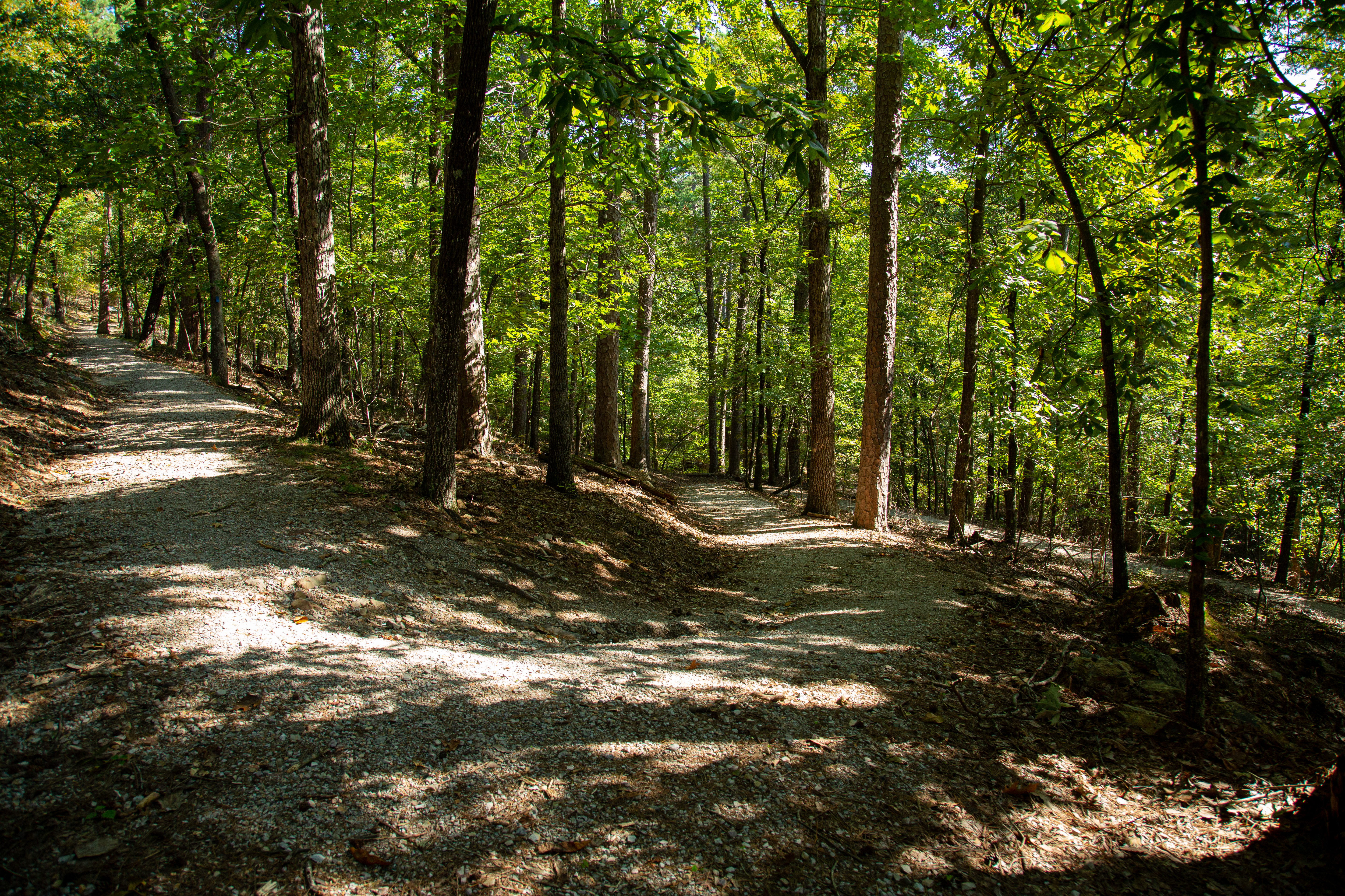
The Hot Springs and North Mountain trails are popular since they are easy to reach and provide scenic views. You can get to these trails via Stephen’s Balustrade (grand staircase) behind the Fordyce Bathhouse, Hot Springs Mountain Drive, and the Gulpha Gorge Campground. See the Hot Springs and North Mountain trail map for more information.
Easy:
Grand Promenade - This National Recreation Trail is the entry point for many of the Hot Springs and North Mountain trails from downtown. Oertel, Peak, and Tufa Terrace trails all branch off from the Grand Promenade and lead to other trails. The Grand Promenade has four entry points: Reserve Street (stairs), Fountain Street (ramp), Stephen’s Balustrade (grand staircase), and an access ramp behind the Fordyce Bathhouse.
Distance (one way): 0.5mi (0.8km)
Elevation gain: 619-717ft (188-218m)
Grade: 3.7%
Tufa Terrace Trail - This paved trail can be reached from the Grand Promenade or Arlington Lawn. The lower portion of the Tufa Terrace Trail is near the Hot Water Cascade.
Distance (one way): 0.3mi (0.5km)
Elevation gain: 650-745ft (198-227m)
Grade: 6%
Reserve Trail - Reserve Trail connects Oertel Trail with Spring Street and Reserve Street at a "Y" intersection.
Distance (one way): 0.3mi (0.5km)
Elevation gain: 622-713ft (190-217m)
Grade: 5.7%
Grand Avenue Trail - Grand Avenue Trail connects Oertel Trail with Grand Avenue. A local motel lies just south of the trailhead.
Distance (one way): 0.2mi (0.3km)
Elevation gain: 581-631ft (177-192m)
Grade: 4.7%
Arlington Trail - Ask for directions to the trailhead from staff at the Arlington Hotel lobby. Arlington Trail will connect with Lower Dogwood Trail.
Distance (one way): 0.1mi (0.2km)
Elevation gain: 718-731ft (219-223m)
Grade: 2.5%
Moderate:
Peak Trail - The beginning of Peak Trail is paved then turns to gravel. Peak Trail leads to the Hot Springs Mountain Tower.
Distance (one way): 0.6mi (1.0km)
Elevation gain: 644-1044ft (196-318m)
Grade: 12.6%
Hot Springs Mountain Trail - Hot Springs Mountain Trail is a moderate stroll around the top of the mountain with several scenic overlooks.
Distance (one way): 1.7mi (2.7km)
Elevation gain: 952-994ft (290-303m)
Grade: 0.5%
Honeysuckle Trail - Honeysuckle Trail connects Peak Trail with Hot Springs Mountain Trail.
Distance (one way): 0.5mi (0.8km)
Elevation gain: 727-870ft (222-265m)
Grade: 5.4%
Fountain Trail - This short trail begins on Fountain Street below the entrance to Hot Springs Mountain Drive. Use it to reach Honeysuckle Trail by crossing the road.
Distance (one way): 0.2mi (0.3km)
Elevation gain: 657-760ft (200-232m)
Grade: 9.8%
Goat Rock Trail - Limited parking is available at the overlook on North Mountain. The trailhead starts south of the parking area.
Distance (one way): 1.1mi (1.8km)
Elevation gain: 886-1067ft (270-325m)
Grade: 3.2%
Floral Trail - Floral Trail connects Lower Dogwood Trail and Honeysuckle Trail. From either trailhead you will descend into a valley and climb the other side.
Distance (one way): 0.7mi (1.1km)
Elevation gain: 690-840ft (210-256m)
Grade: 4.1%
Lower Dogwood Trail - Lower Dogwood Trail climbs North Mountain. Near the top, boulders mark the westernmost tip of the trail. From there, the trail drops downhill.
Distance (one way): 0.7mi (1.1km)
Elevation gain: 784-953ft (239-290m)
Grade: 4.6%
Upper Dogwood Trail - Upper Dogwood trail has short rises and long stretches of flat trail.
Distance (one way): 1.0mi (1.6km)
Elevation gain: 880-1131ft (268-345m)
Grade: 4.8%
Strenuous:
Oertel Trail (formerly Dead Chief Trail) - From downtown, ascend the Stephen's Balustrade (grand staircase) behind the Fordyce Visitor Center to the Grand Promenade and climb the next two sets of steps until you reach the gravel road. Take the road right until you reach an iron gate; the trailhead begins here. Oertel Trail ranges from moderate to very steep grade.
Distance (one way): 1.4mi (2.3km)
Elevation gain: 670-863ft (204-263m)
Grade: 2.6%
Shortcut Trail - Short Cut Trail connects Oertel Trail with Hot Springs Mountain Trail near a picnic area.
Distance: 0.2mi (0.3km)
Elevation gain: 813-1036ft (247-316m)
Grade: 21.1%
Gulpha Gorge Trail - Gulpha Gorge Trail connects the Gulpha Gorge Campground to many of the park's trails. The trail going west from the campground is steep.
Distance (one way): 0.6mi (1.0km)
Elevation gain: 530-968ft (162-295m)
Grade: 13.8%
Accessibility Accessibility information will vary by trail location. Please check with the individual trail for more specific information. Service animals are allowed at all locations.
Fountain Trail the Park Service's write-up
10-25 Minutes · dogs allowed
Start Trail head
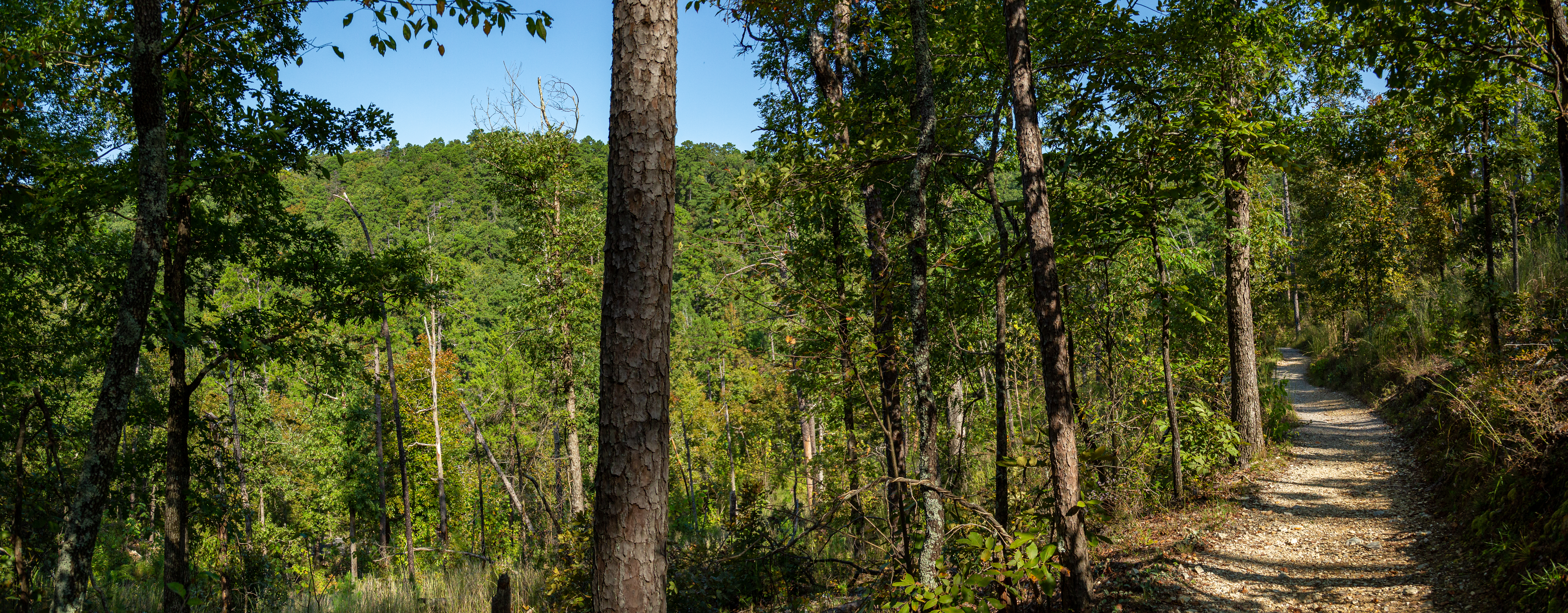
This short trail begins on Fountain Street below the entrance to Hot Springs Mountain Drive. Use it to reach Honeysuckle Trail by crossing the road.
Distance (one way): 0.2mi (0.3km)
Elevation: 657 - 760ft (200 - 232km)
Typical grade: 9.8%
Accessibility This is a packed gravel, steep trail. It is not ADA compliant.
Honeysuckle Trail the Park Service's write-up
20-45 Minutes · dogs allowed
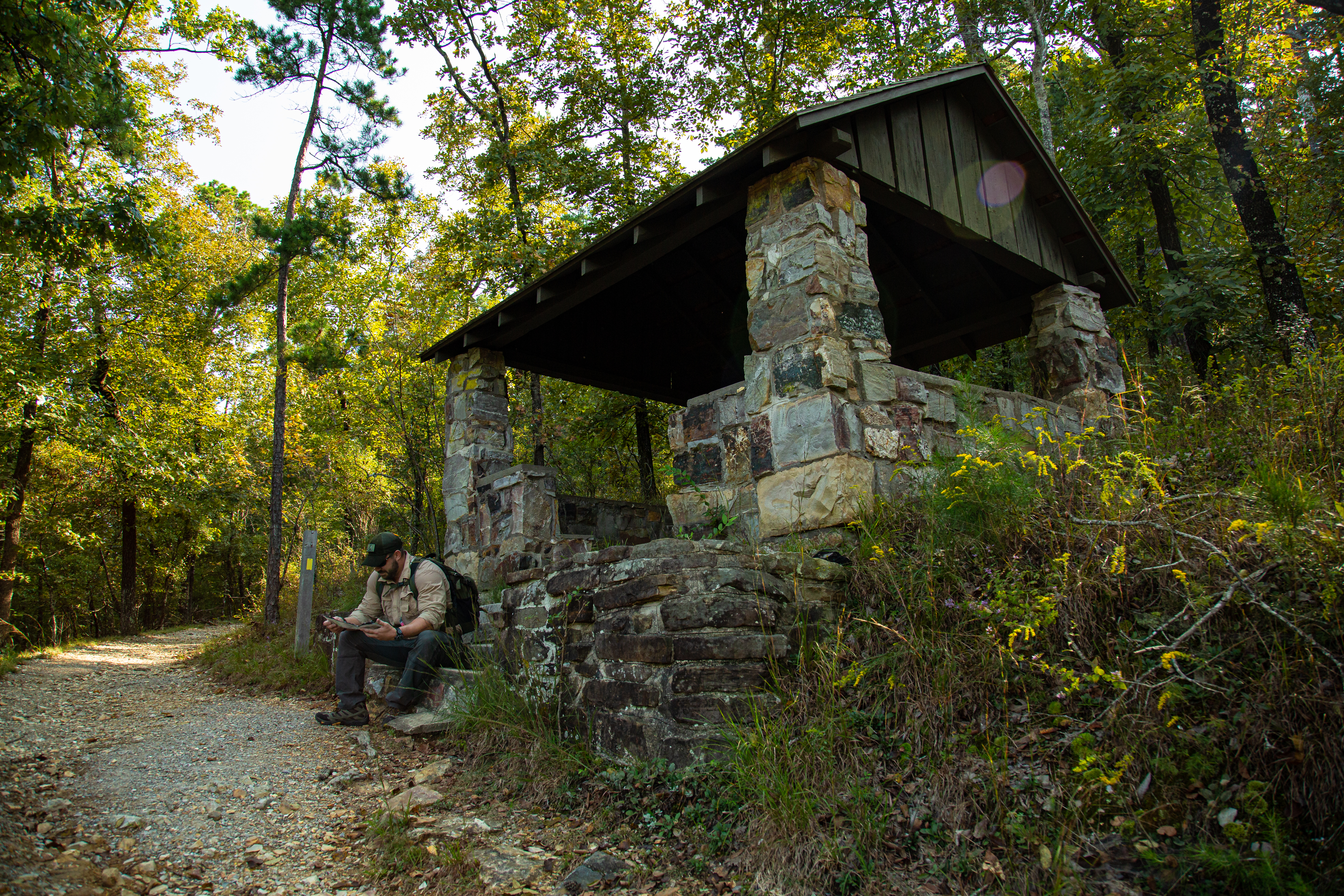
Honeysuckle Trail connects Peak Trail with Hot Springs Mountain Trail.
Distance (one way): 0.5mi (0.8km)
Elevation: 727 - 870ft. (222 - 265m)
Typical grade: 5.4%
Accessibility This trail is narrow, steep, rocky, and made primarily of packed gravel. It is not an ADA compliant trail.
Hot Springs Mountain Trail the Park Service's write-up
45-75 Minutes · dogs allowed
Start Trail head
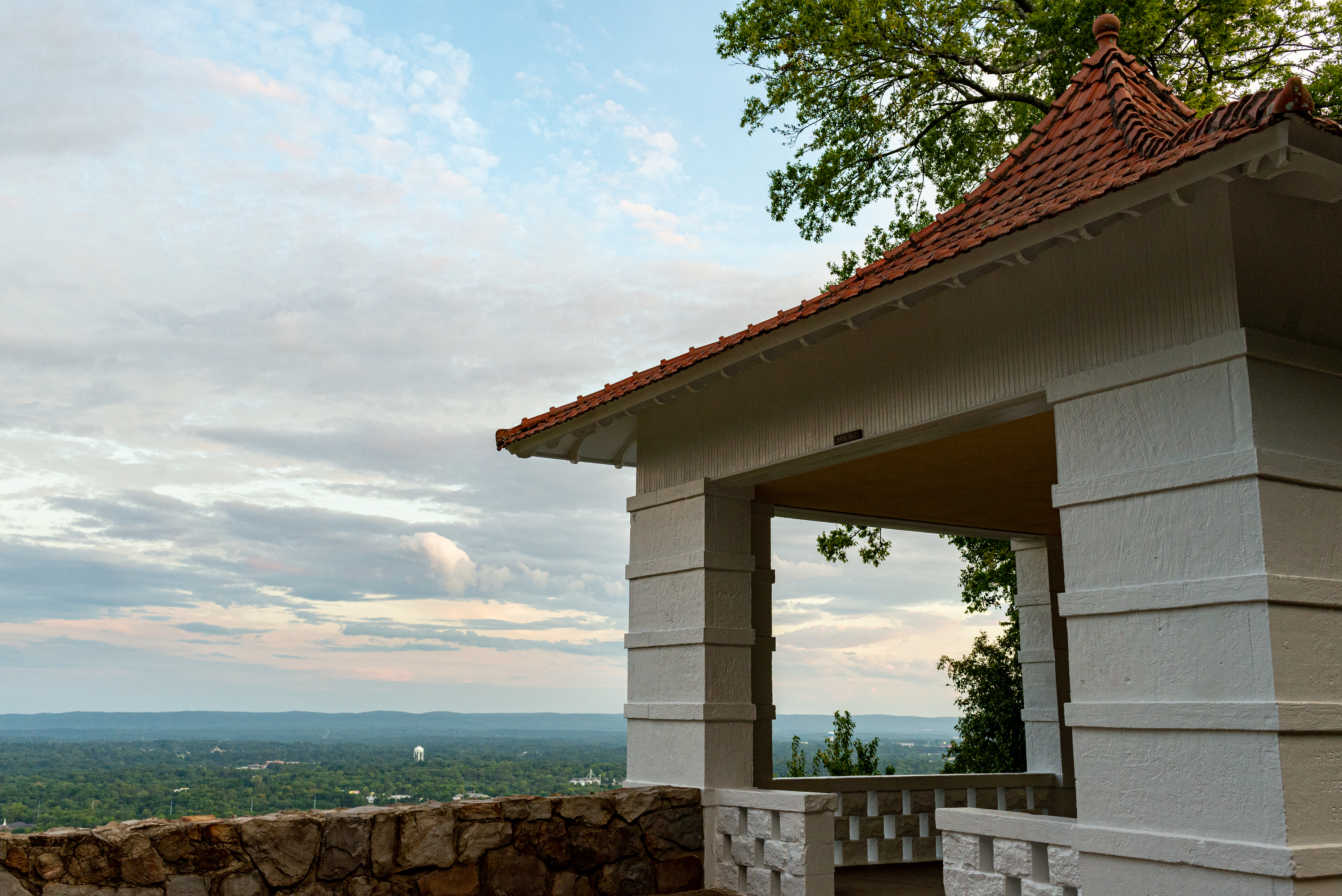
Hot Springs Mountain Trail is an easy stroll around the top of the mountain with several scenic overlooks.
Distance (one way): 1.7mi (2.7km)
Elevation: 952 - 994ft (290 - 303m)
Typical grade: 0.5%
Accessibility This is not an ADA compliant trail.
Peak Trail the Park Service's write-up
40 Minutes · dogs allowed · season The Peak Trail is accessible and enjoyable all year long.
Start Peak Trail
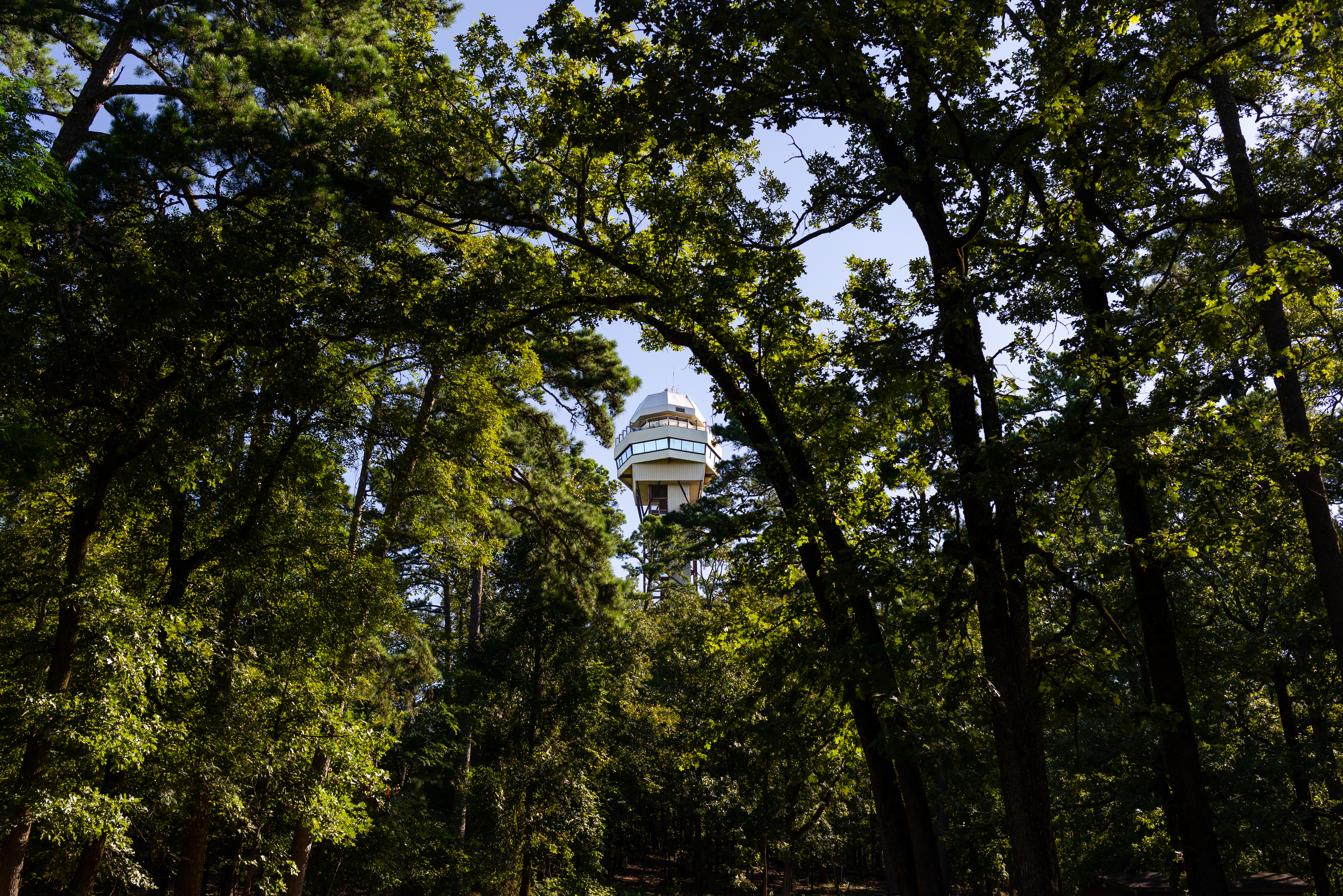
The Peak Trail leads directly to the Hot Springs Mountain Tower and the top of Hot Springs Mountain. Visitors can choose to explore the Mountain Tower, take in views from the overlooks, or enjoy a picnic from the top of Hot Springs Mountain. The Peak Trail is a great connector to a lot of the other hiking trails around Hot Springs Mountain for those looking to explore a bit further.
The trailhead is located near the center of the Grand Promenade. From the Fordyce Bathhouse, follow the stairs up behind the Shell Fountain, follow the Grand Promenade to the left, and you'll see the trailhead on the right-hand side. The trail is 0.6 mi (1.0 km) long with an elevation gain of roughly 400 feet (644 - 1044 ft/196-318 m). It has a 12.6% grade and is initially paved before turning to gravel.
See the Hot Springs and North Mountain trail map for more information.
Accessibility The beginning of Peak Trail is paved then turns to gravel. It is a moderate trail: 0.6 mi (1.0 km), 644-1044 ft (196-318 m) elevation, and typical grade of 12.6%.
Short Cut Trail the Park Service's write-up
10-25 Minutes · dogs allowed
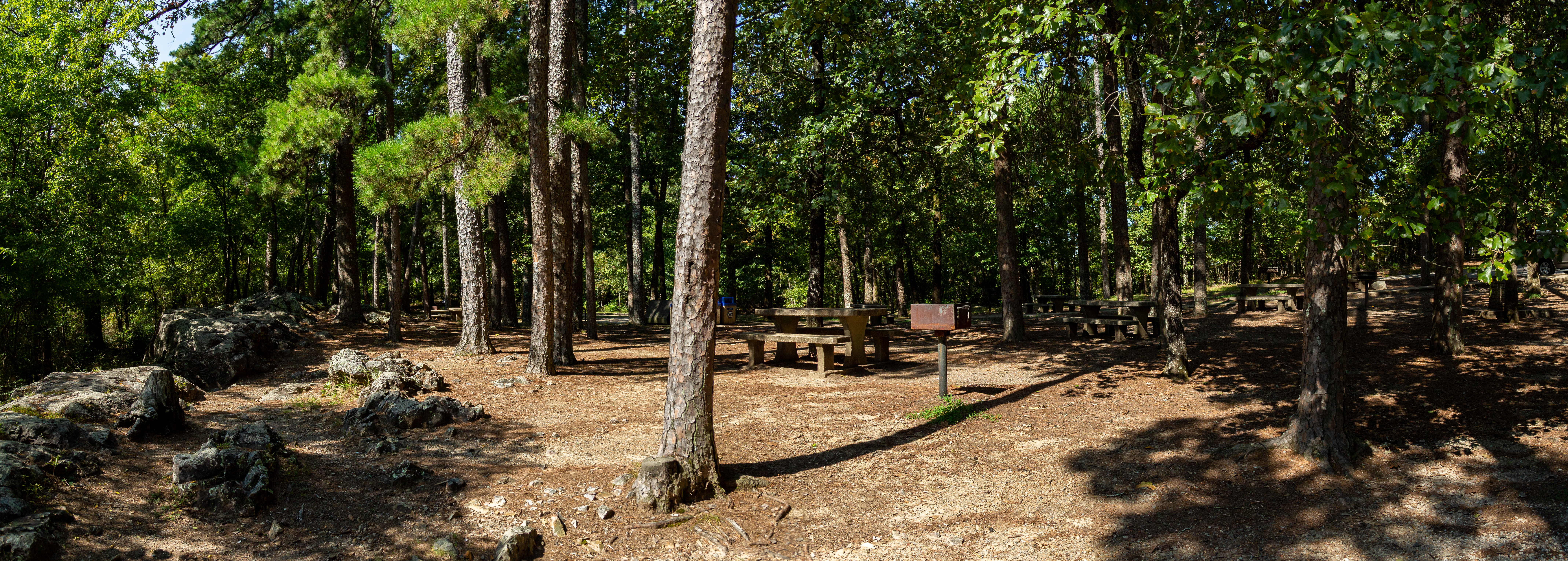
Short Cut Trail connects Oertel Trail with Hot Springs Mountain Trail near the picnic area atop Hot Springs Mountain.
Distance (one way): 0.2 mi (0.3km)
Elevation: 813 - 1036ft. (247 - 316m)
Typical grade: 21.1%
Accessibility This trail is made of loose rocky, gravel. This trail is not ADA compliant.