
Sulphur Banks Trail
Haʻakulamanu via Sulphur Banks Trail 1.2 mi round trip · the Park Service's write-up
30-45 Minutes · no dogs
Start Kīlauea Visitor Center or Steam Vents Parking Lot
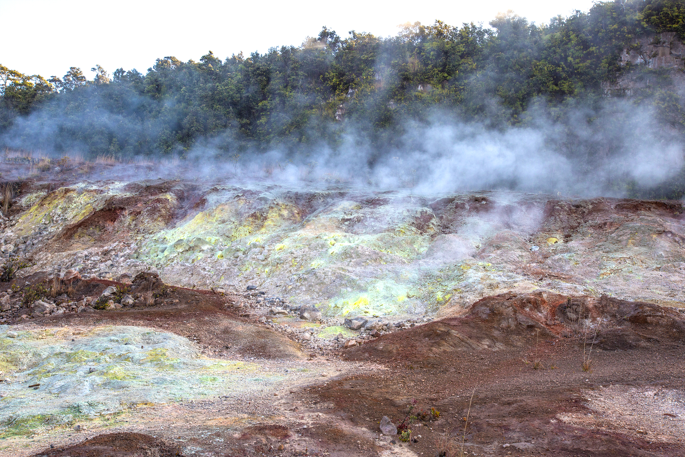
Due to underground heat, this dramatic volcanic thermal area has very few trees. Known as Ha'akulamanu, this unusual place has been famous for birds, colorful deposits, and billowing vapors.
Difficulty: Easy
Distance: 1.2 mile (2 km) round trip from Kīlauea Visitor Center
Trail begins next to Kīlauea Visitor Center parking lot toward the Volcano Art Center Gallery (The other end of the trail, which is wheelchair accessible, can be picked up across the street from the Steam Vents)
At Ha'akulamanu (Sulphur Banks), volcanic gases seep out of the ground along with groundwater steam. These gases are rich in carbon dioxide, sulfur dioxide and hydrogen sulfide -- the gas that smells like rotten eggs. Some sulfur gases deposit pure crystals at Sulphur Banks. Other sulfur gases form sulfuric acid which breaks down the lava to clay. This clay is stained red and brown with iron oxide.
Visitors with heart or respiratory problems (such as asthma), pregnant women, infants, or young children should avoid this walk.
Learn more about the phenomenon of Steam Vents and Sulphur Banks
Accessibility A wheelchair accessible trail to the Sulphur Banks area is located across the street from the Steam Vents parking lot.