
Puna Coast Trail
Puʻuloa Petroglyphs Trail 1.4 mi round trip · the Park Service's write-up
60-90 Minutes · no dogs
Start Puʻuloa Trailhead on Chain of Craters Road
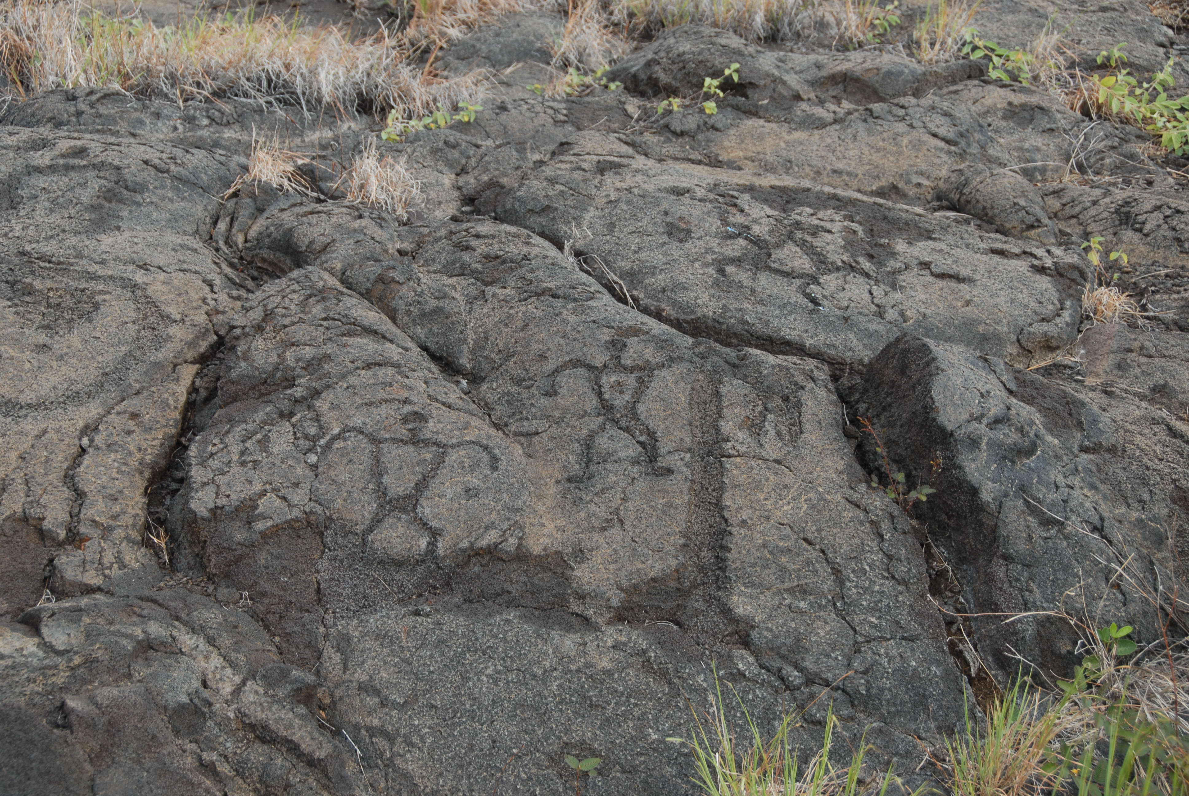
Walk in the footsteps of the kūpuna (elders) to Pu`uloa (hill of long life), a sacred and awe-inspiring gallery of ki`i pōhaku (images carved in stone). These simple etchings document the life and culture of the native Hawaiian people. It brought with hopes of receiving the blessings of a long and prosperous life.
This coastal trail traverses a 500-550 year old lava field to one of Hawai`i's most extensive petroglyph fields. A site that has approximately 23,000 petroglyphs, many viewable at a boardwalk constructed for this purpose
Difficulty: Moderate
Distance and hiking time: 1.4 miles (2.25km) round trip. Approximately 1.0 - 1.5 hours.
Trail begins: Pu'uloa parking area on Chain of Craters Road.
Safety: Hiking on flow fields can be hazardous due to deep earth cracks, uneven and unstable terrain, and razor-sharp lava.
The petroglyphs are very fragile. Stay on the boardwalk. Walking on the lava surface will fragment the delicate petroglyphs and destroy them.
Accessibility Trail is over uneven, solidified lava fields