
Puʻu o Lokuana Trail
Visit Kahuku: Puʻu o Lokuana 0.4 mi loop · the Park Service's write-up
30-120 Minutes · no dogs
Start Puʻu o Lokuana Trailhead
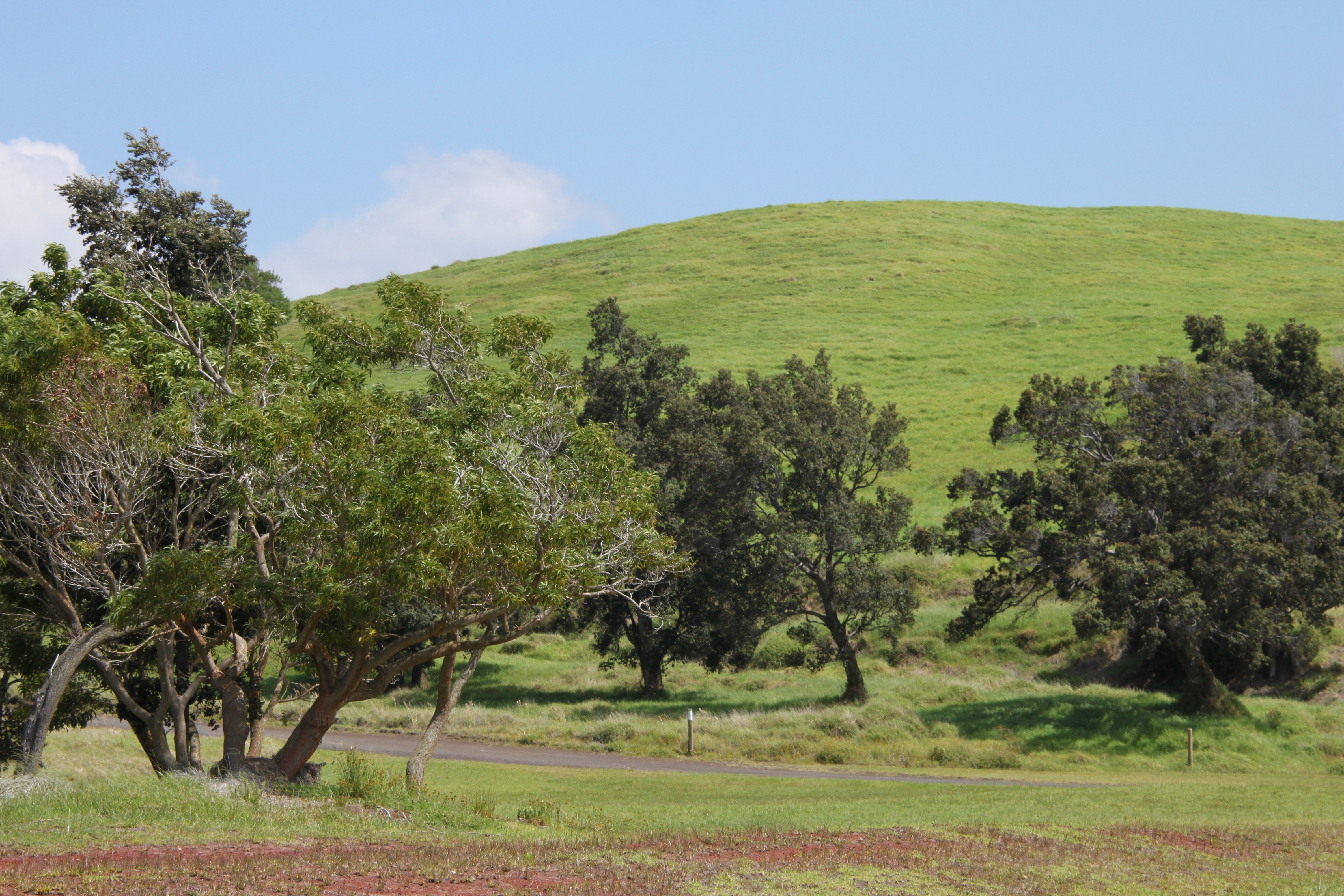
Puʻu o Lokuana in the Kahuku Unit can be hiked in two different ways.
A shorter loop that takes you directly to the top of the iconic Puʻu o Lokuana cinder cone and loops back: this steep trail is appoximately a 130 foot (40 m) elevation change over a short distance. You then can continue along the grassy path into the red heart of Puʻu o Lokuana. Walk through the historic cinder quarry to the top of the hill and enjoy a panoramic view of Kahuku and the Kaʻū coastline.
Trailhead: Trail starts and ends at the base of the cinder cone.
Difficulty: Moderate
Distance: 0.4 mile (0.64 km) loop
Duration: 30-45 minutes. Recommended if you have only a short time for a visit
Or, a longer version that takes you along old ranch roads, through pasture land, across the cataclysmic 1868 lava flow , down an old airstrip, and to the top of cinder cone included above. Walk down the old airstrip and look for tiny green olivine crystals along its length. At the end of the airstrip, cross the road, walk into the red heart of the historic cinder quarry, and then hike to the crest of Puʻu o Lokuana with its breathtaking views of Kahuku.
Trailhead: Trail starts and ends at the base of the cinder cone.
Difficulty: Moderate
Distance: 2-mile (3.2 km) loop, 130 feet (40 m) elevation change.
Duration: 1- 1.5 hours
Bring: water, sturdy footwear, and be prepared for sun, rain, heat or cold
Accessibility Very steep elevation gain and uneven, grassy and rocky terrain