
Nāpau Trail
Maunaulu via Nāpau Trail 2.5 mi round trip · the Park Service's write-up
1-2 Hours · no dogs
Start Maunaulu Parking Lot
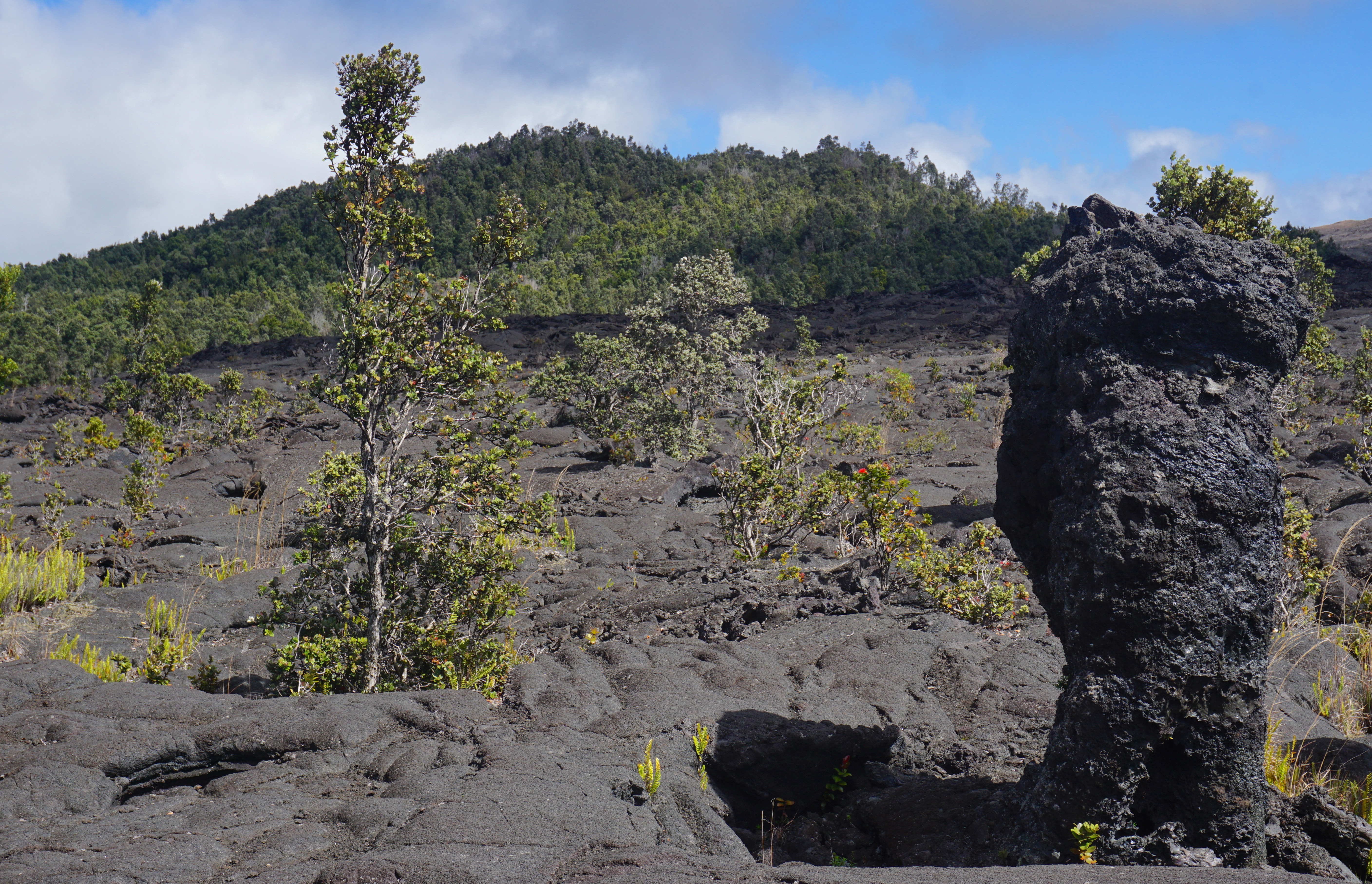
Experience a lava landscape from the 1969-1974 Maunaulu flow . Walk by lava tree molds and climb 210 feet (64 m) to the top of a forested cinder cone, Pu‘uhuluhulu (hairy hill). View the Maunaulu lava shield, which is similar to the now inactive Pu‘uʻō‘ō cone in the far distance. On a clear day you can see Mauna Loa, Mauna Kea and the Pacific Ocean.
Difficulty: Moderate - Most of the route is easy, but includes a 1/4 mile steep climb up Pu‘uhuluhulu cone.
Distance and hiking time: 2.5 miles (4.0km) roundtrip, Approximately 2.0 - 3.0 hours.
Trail Begins: Approximately 100 yards (91.4m) from the Maunaulu parking area. Ahu (stacked rocks) mark the trail across the lava flows. Please do not disturb them or build new ones. Stay on the trail .
Bring water, food, hat, sun protection and rain gear.
Safety: Hiking on flow fields can be hazardous due to deep earth cracks, uneven and unstable terrain, and razor-sharp lava.
Protect delicate lava formations. Surface patterns and lava trees are fragile. Reduce your impact. Please do not touch these formations.
Download the Maunaulu Trail Guide (pdf 2.3MB)
Accessibility Rough and uneven terrain with steep incline up Puʻuhuluhulu cinder cone.