Hawaiʻi Volcanoes National Park · Hawaii

Mauna Loa Trail

7.0 mi of trail, end to end · Visit Kahuku: Palm Trail: 2.6 mi loop in the Service's write-up · about 3,400 ft of climbing · 6,671 ft–10,041 ft · native surface · trail class Developed, Moderately Developed · hiking

6,671 ft 9,890 ft · 6.7 mi high 9,890 ft

Visit Kahuku: Palm Trail 2.6 mi loop · the Park Service's write-up

1-2 Hours · no dogs

Start Lower Palm Trailhead
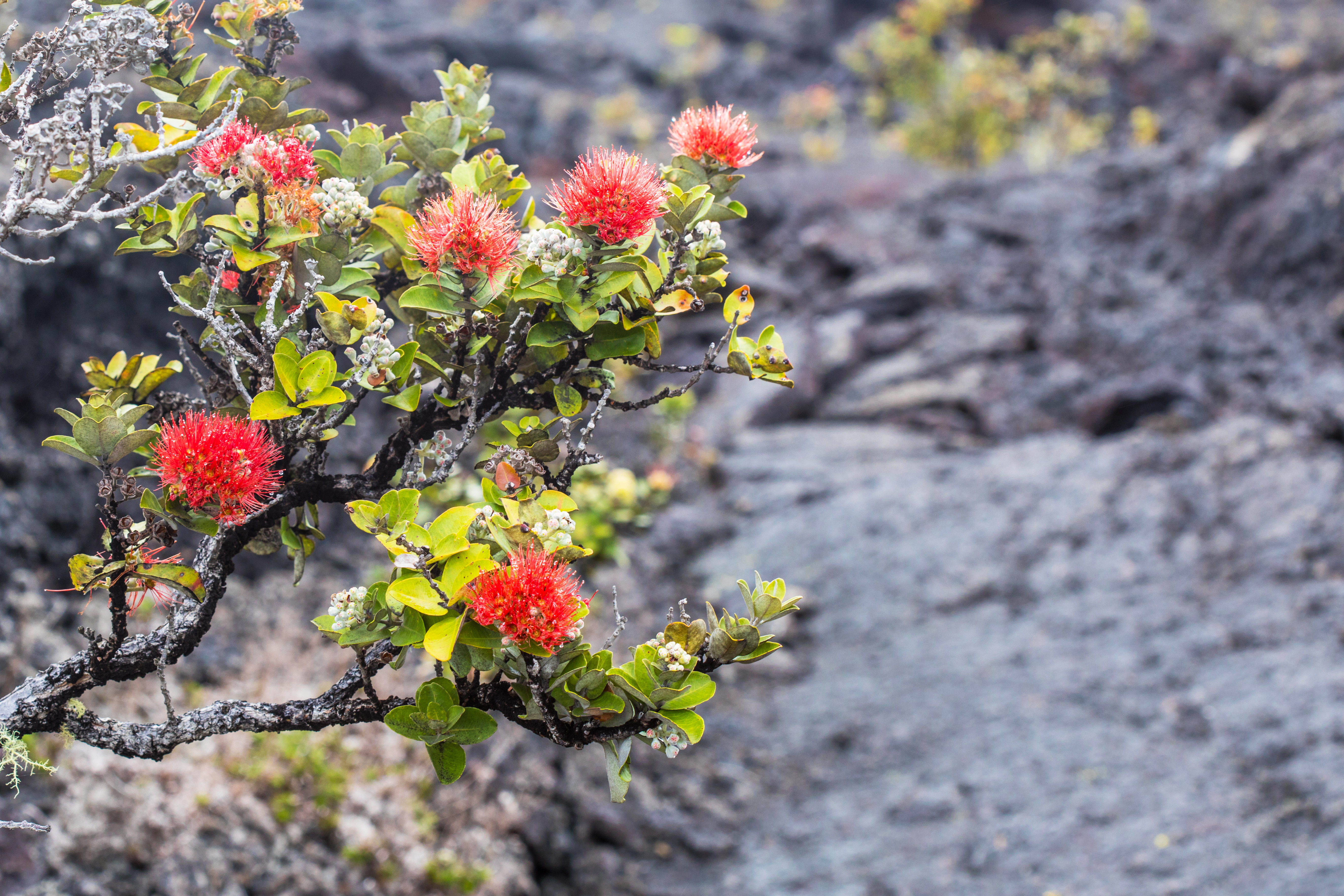
Red blossoms of ʻōhiʻa lehua over a lava field

Hike or ride your bike through scenic pastures and along the eruption fissure from the devastating 1868 eruption of Mauna Loa .

Trailhead: Begin at the Lower Palm Trailhead and hike up the trail. Once you arrive at the upper trailhead, follow the road downhill to your vehicle.

Distance and hiking time: 2.6 mile (4.2 km) loop, 1-2 hours.

Difficulty: moderate

Bring: Water, snacks, wear sturdy footwear, and be prepared for sun, rain, heat or cold

Safety: Hiking on flow fields can be hazardous due to deep earth cracks, uneven and unstable terrain, and razor-sharp lava.

Accessibility Trail is on uneven rock and grass, with significant hills and slope

This hike on nps.gov

All 50 trails in Hawaiʻi Volcanoes National ParkFind a trailOn the parks mapPark on nps.gov

About this trail's facts

The lines are the National Park Service's public trails layer, the trailheads and the waterfalls, views, peaks and historic places along them the Service's public points of interest, read 2026-10-16 and simplified for the map; the length is the line's, end to end. The write-ups are the Service's own "things to do" text, unedited. Heights come from USGS 3DEP through Terrain Tiles on AWS (Mapzen/Tilezen), read along each line and rounded; a short trail on steep ground can be off by a few tens of feet. Closures change: check the park's own site before you go.