Hawaiʻi Volcanoes National Park · Hawaii

Kamakapaʻa Trail

0.4 mi of trail, end to end · Visit Kahuku: Kamakapaʻa Trail: 0.5 mi round trip in the Service's write-up · about 50 ft of climbing · 2,308 ft–2,342 ft · hiking

2,308 ft 2,342 ft · 0.3 mi high 2,342 ft

Visit Kahuku: Kamakapaʻa Trail 0.5 mi round trip · the Park Service's write-up

20-30 Minutes · no dogs

Start Kamakapaʻa Trailhead
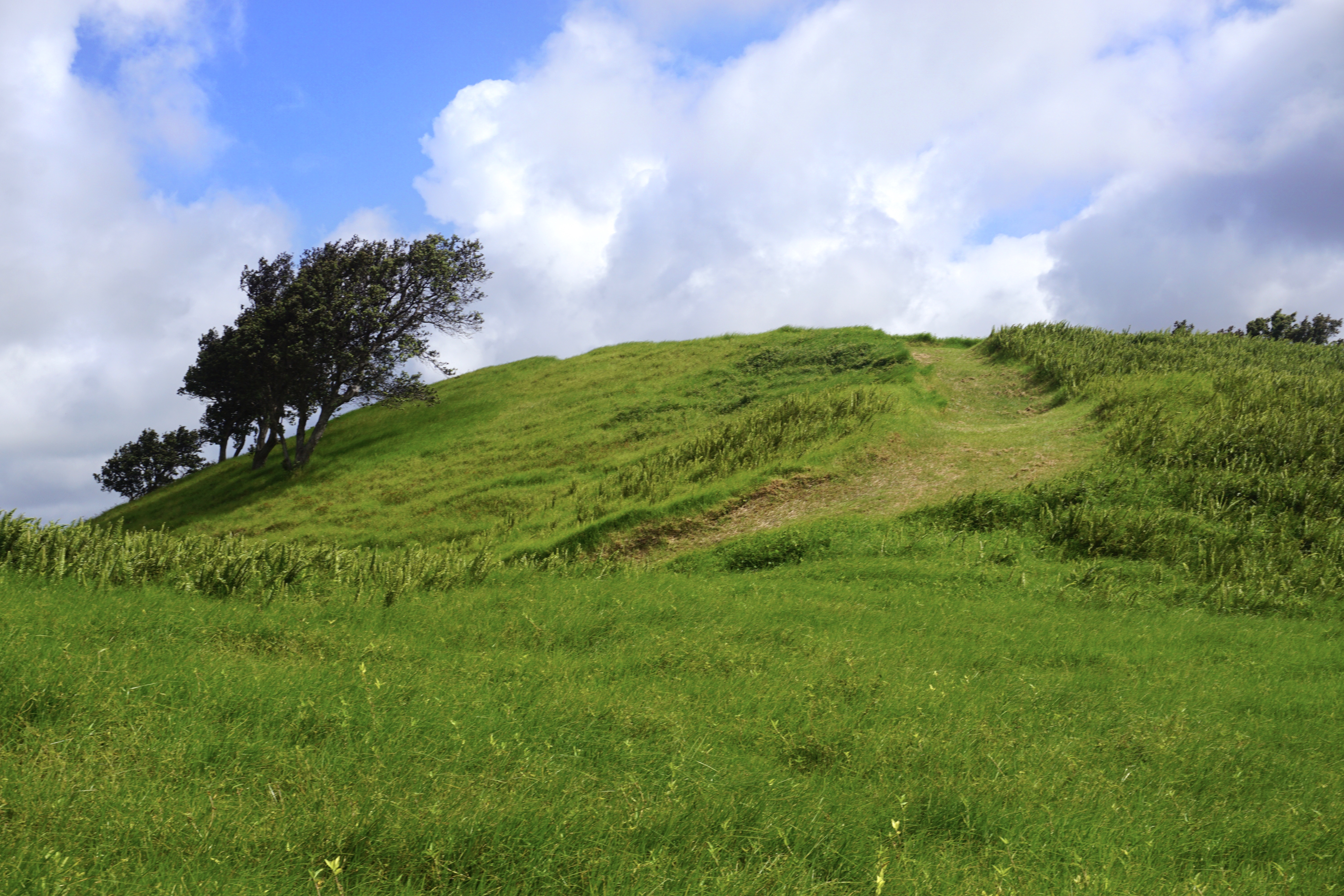
Grass-covered hill with a tree underneath blue sky with puffy white clouds

Follow this easy trail in the Kahuku Unit through grassy meadows to the top of a small cinder cone. Sweeping views from the top take in the full breadth of lower Ka‘ū.

Trailhead : Kamakapaʻa Trailhead

Distance: 0.5 mi (0.8 km) roundtrip

Difficulty : Easy

Elevation Change: 40 feet (12 m) from trailhead

Duration: 20-30 min

Accessibility Uneven trail through a grassy area with a steep gain in elevation

This hike on nps.gov

All 50 trails in Hawaiʻi Volcanoes National ParkFind a trailOn the parks mapPark on nps.gov

About this trail's facts

The lines are the National Park Service's public trails layer, the trailheads and the waterfalls, views, peaks and historic places along them the Service's public points of interest, read 2026-10-16 and simplified for the map; the length is the line's, end to end. The write-ups are the Service's own "things to do" text, unedited. Heights come from USGS 3DEP through Terrain Tiles on AWS (Mapzen/Tilezen), read along each line and rounded; a short trail on steep ground can be off by a few tens of feet. Closures change: check the park's own site before you go.