
Kahuku Palm Trail
Visit Kahuku: Forested Pit Crater the Park Service's write-up
3-6 Hours · no dogs
Start Pali o Kaʻeo Trailhead
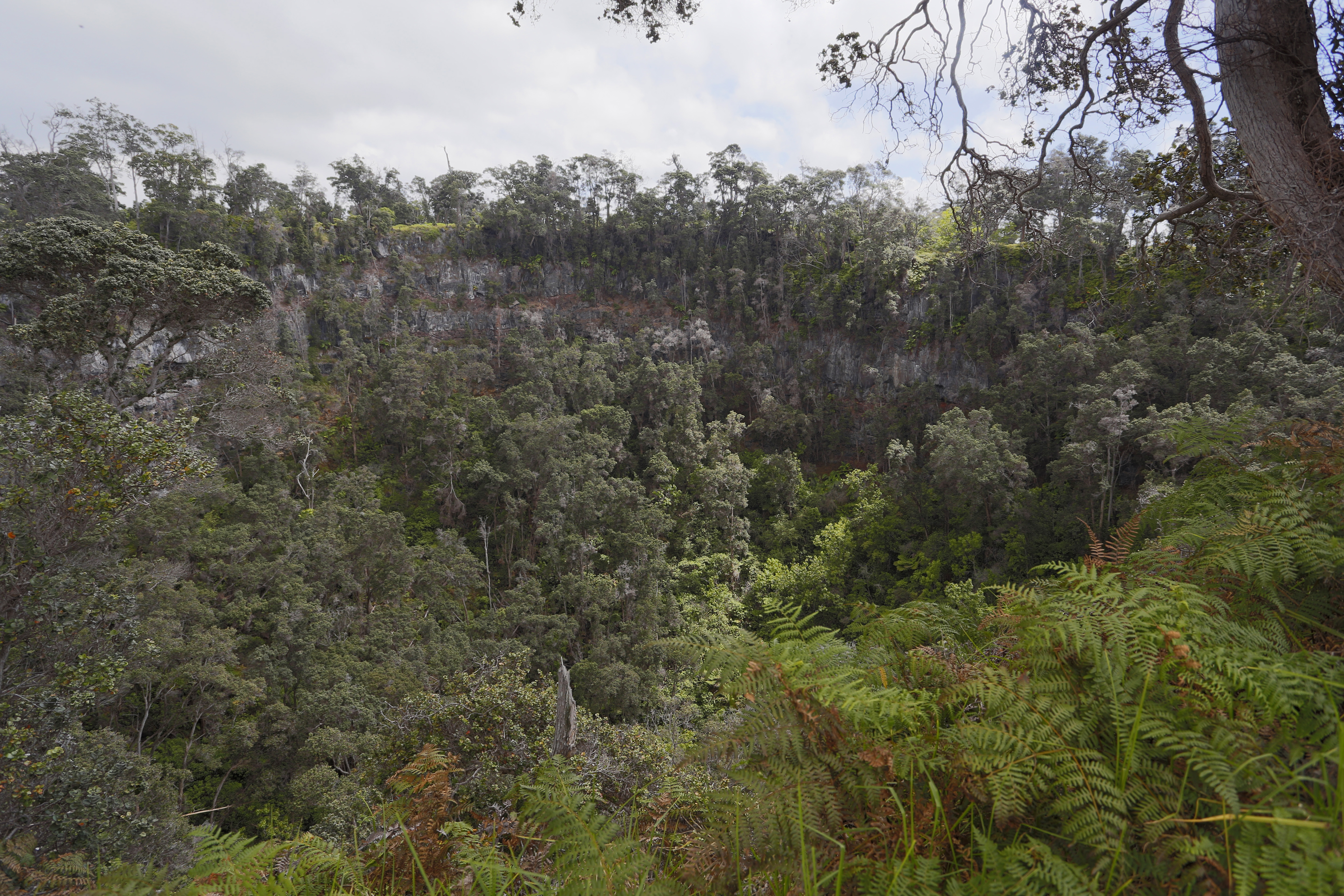
No matter which trailhead you start from, this is a steep, strenuous hike in the Kahuku Unit. Walk though brilliant green pasture-land, past magnificent koa and ʻōhiʻa lehua trees, to the edge of a huge collapsed crater . The 250-foot (76 m) vertical walls have protected the unspoiled native rain forest within from cattle, pigs and people. With an astonishing array of Hawaiian species, many rare and endangered, this magical place affords us a glimpse into the distant past, before human-caused transformation that affected the surrounding ranch land. For your safety, stay away from the pit crater edge.
Trailheads: Begin and end at the Pit Crater Trailhead or at the Pali o Kaʻeo Trailhead
Distance: Round trip from Pit Crater Trailhead to the pit crater: 4.8 miles (7.8 km). Very steep start from this trailhead.
For a less rigorous, more scenic start to the hike, begin at the Pali o Kaʻeo Trailhead. Add 2.4 miles (3.9 km) to the above figures.
Difficulty: Strenuous
Elevation change: 1,165 feet (335 m) from Pit Crater Trailhead
Duration : 3-hour minimum
Bring: Water, snacks, wear sturdy footwear, and be prepared for sun, rain, heat or cold!
You must spray the soles of your shoes with rubbing alcohol (provided) at the ROD (Rapid ʻŌhiʻa Death) decontamination station
Accessibility Trail is on uneven grassy terrain, with significant elevation gain