
Kaʻū Desert Trail
Trailhead Kau Desert 3,045 ft Drive there
Footprints Area the Park Service's write-up
1-2 Hours · no dogs
Start Kaʻū Desert Trailhead
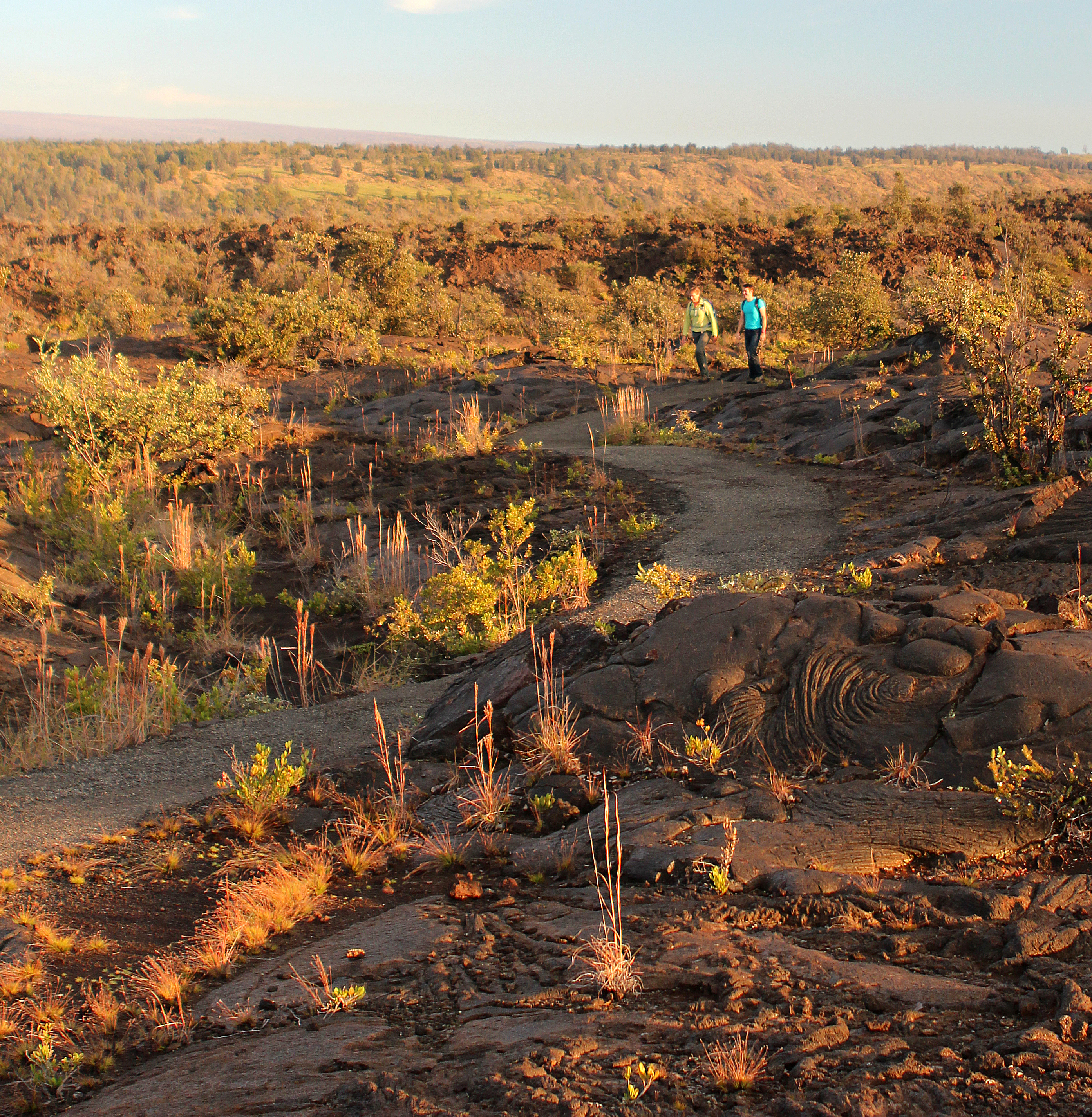
In 1790, a dramatic explosion occured at the summit of Kīlauea. The eruption involved a torrent of hot gas, ash, and sand that rained down on the Kaʻū Desert. Caught in the middle of this deadly, suffocating storm were groups of Native Hawaiians travelling through the region on long-used trails. In the newly fallen layer of ash, these groups left behind footprints that we can still see today— a reminder that Hawaiians have beared witness to the geological drama of this island for centuries.
A shelter with an exhibit about these footprints is accessible via an easy walk about .8 miles (1.3 km) from the Kaʻū Desert Trailhead on Highway 11.
Read more about the story of the Footprints area
Trailhead: the Kaʻū Desert Trailhead on Highway 11
Difficulty: Easy walk between the Kaʻū Desert Trailhead on Highway 11 and the Footprints shelter
Distance: .8 mi (1.3 km) from the Kaʻū Desert Trailhead to Footprints shelter
Bring water, food, hat, sun protection and rain gear.
Accessibility Sections of trail are paved, but with steep inclines and occasional deep sand and uneven surfaces.