
Devastation Trail
Devastation Trail 1 mi round trip · the Park Service's write-up
30-60 Minutes · no dogs
Start Puʻupuaʻi or Devastation Trailhead
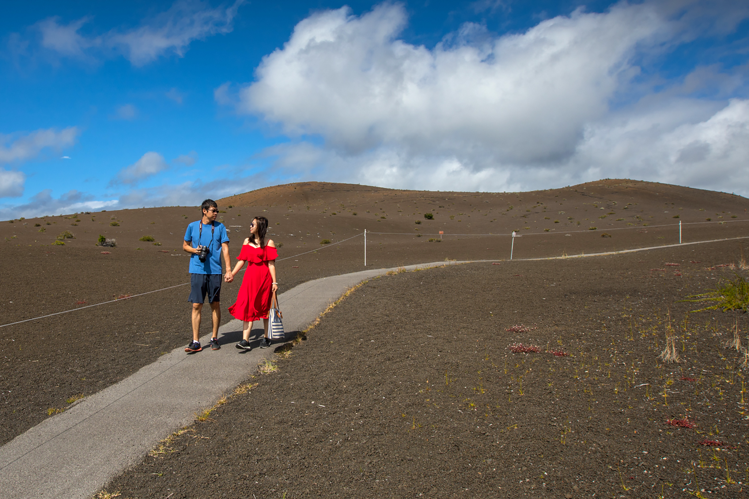
Stroll on a paved path through a starkly beautiful recovering landscape that was buried by falling cinder from the spectacular lava fountains of the 1959 Kīlauea Iki eruption. Witness life returning to this once devastated area.
Difficulty: Easy - Wheelchair and stroller accessible, though there are sections of this paved trail that have grades greater than eight percent (8%).
Distance and hiking time: 1 mile (1.6km) round trip, approximately 1.0 hour.
Trail begins: Either at the Pu'upua'i parking lot or the Devastation Trail parking lot, both off of Crater Rim Drive.
Stay on the paved trail. Do not climb the Pu‘upua‘i cinder cone.
Bring: Water, hat, sunscreen and rain gear. Be prepared for hot, dry, wet, windy weather conditions.
The threatened and federally protected nēnē (Hawaiian geese) frequent this area. Please use caution when parking. Don't feed the nēnē.
Accessibility Wheelchair and stroller accessible, though there are sections of this paved trail that have grades greater than eight percent (8%).