
Crater Rim Trail closed
Views
Along the way Kilauea Iki Crater Kilauea Overlook
Crater Rim Trail the Park Service's write-up
1-6 Hours · no dogs
Start Several trailheads in the Kīlauea summit area
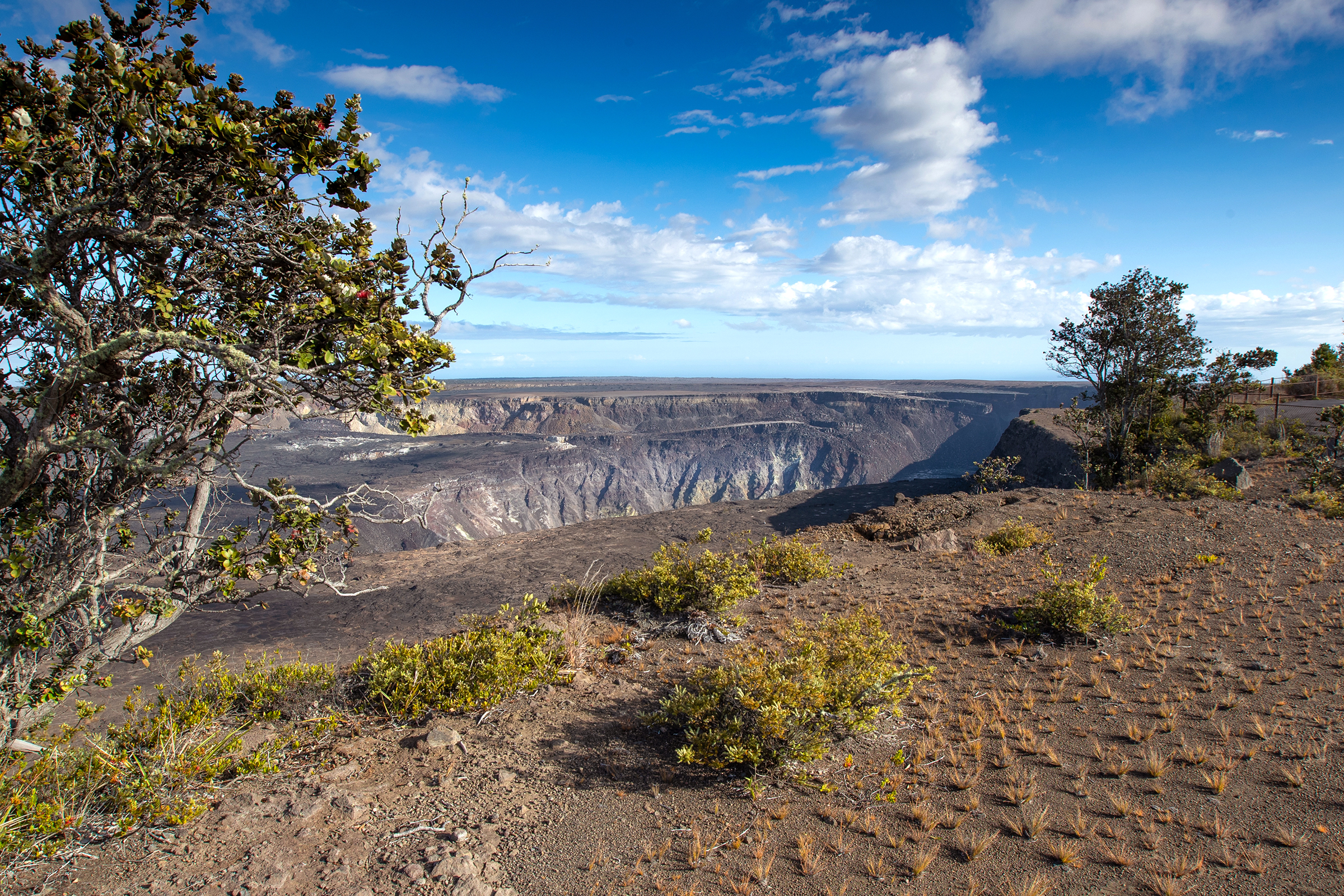
Crater Rim Trail traverses the edge of Kaluapele, the summit caldera of Kīlauea from Uēkahuna to just past Keanakākoʻi Crater. The trail is an awe inspiring journey around the summit of one of the most active volcanoes in the world. See the dramatic aftermath of the 2018 summit collapse, steam vents, and lush rainforest.
Difficulty: Easy
Distance is variable. Trail stretches from Uēkahuna on the north side of the caldera to just past Keanakākoʻi Crater on the south side. The trail includes Kūpinaʻi Pali (Waldron Ledge) .
Hikers may access the trail from many several locations along Crater Rim Drive, including Uēkahuna, Kīlauea Overlook, Steam Vents, and Volcano House.
Bring water and food. Be prepared for hot and dry, and wet and windy weather. Scorching sun, biting winds and pelting rain can occur in the same hour.
STAY ON MARKED TRAILS
Cliffs, earthcracks, and steam vents have unstable and slippery edges. Keep well back for your safety.
Accessibility Portions of Crater Rim Trail are paved, but much of it is on gravel or uneven surfaces with occasional steep inclines or stairs
Keanakākoʻi 1 mi one way · the Park Service's write-up
1-2 Hours · no dogs
Start Crater Rim Drive near the Devastation Trailhead Parking Lot
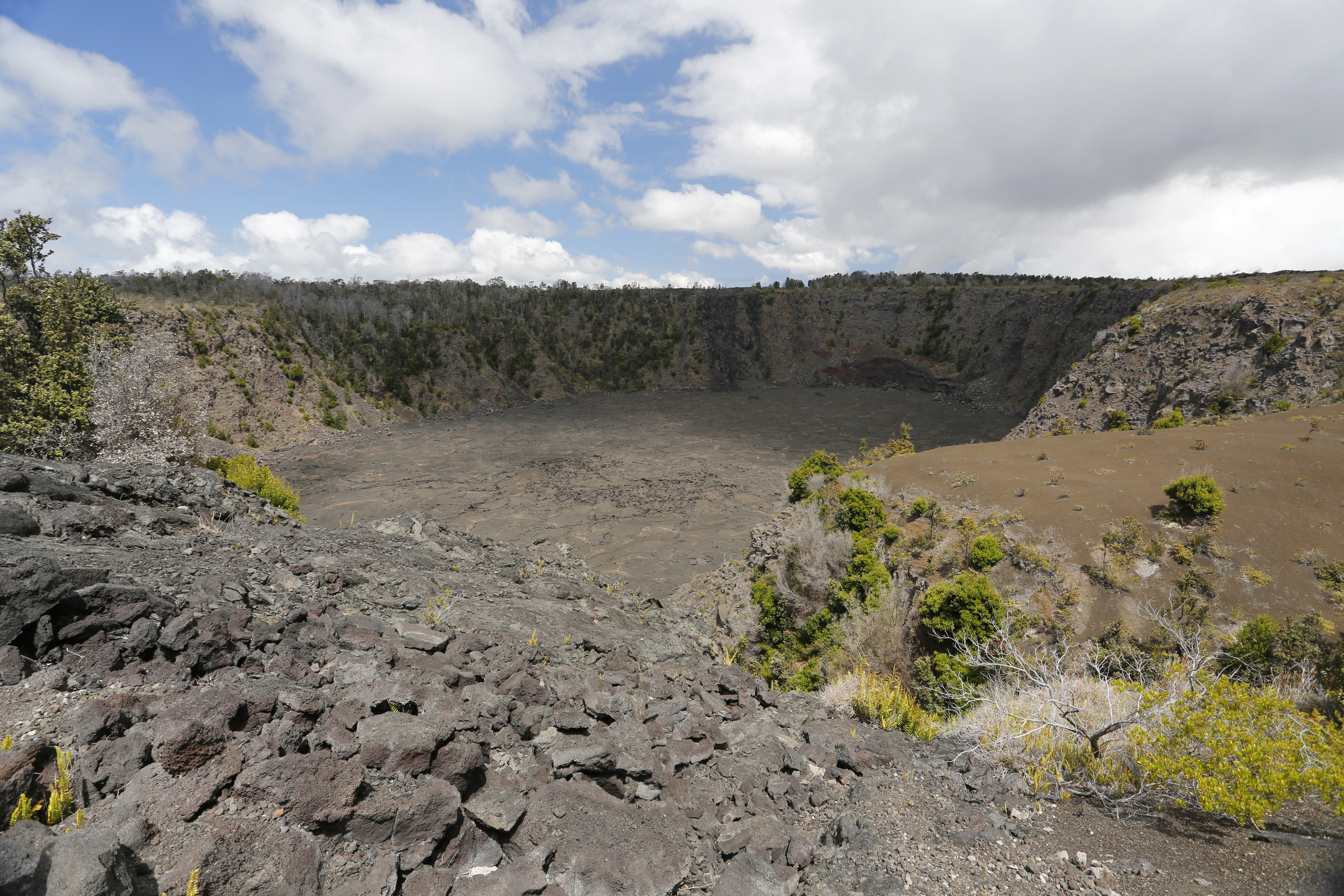
Keanakākoʻi, meaning "cave of the adzes", likely formed during the 1400s, during the great summit collapses of Kīlauea. Until 1877, Hawaiian kahuna kākoʻi (carving experts) sought the crater's superior and rare basaltic rock for making koʻi, or adze heads. Bound to a sturdy ʻau koʻi (wooden handle), this valuable tool was used to carve vital objects like canoes and houses. But the famous adze quarry was covered by lava, first in 1877, and again during the fissure eruption in July 1974. Today, the crater floor is 115 feet deep.
The park closed portions of Crater Rim Drive for public safety after Halemaʻumaʻu began to erupt in March 2008. During the summit collapses of 2018, the road was damaged further. A portion of Old Crater Rim Drive is now open to foot and bicycle traffic to a point just beyond Keanakākoʻi.
To hike the portion of Old Crater Rim Drive to Keanakākoʻi Crater:
Difficulty: Easy
Distance and hiking time: 1 mile (1.6 km) one way, 2 miles (3.2 km) roundtrip. Estimated time is 1 - 1 1/2 hours.
Trailhead: Park at the Devastation Trailhead parking lot. Trail begins near the parking lot exit on Crater Rim Drive.
Bring: Water, hat, sun protection & raingear. Be prepared for hot, dry, wet, and windy weather conditions.
Kūpinaʻi Pali (Waldron Ledge) the Park Service's write-up
45-60 Minutes · no dogs
Start Trailhead to the east of Volcano House
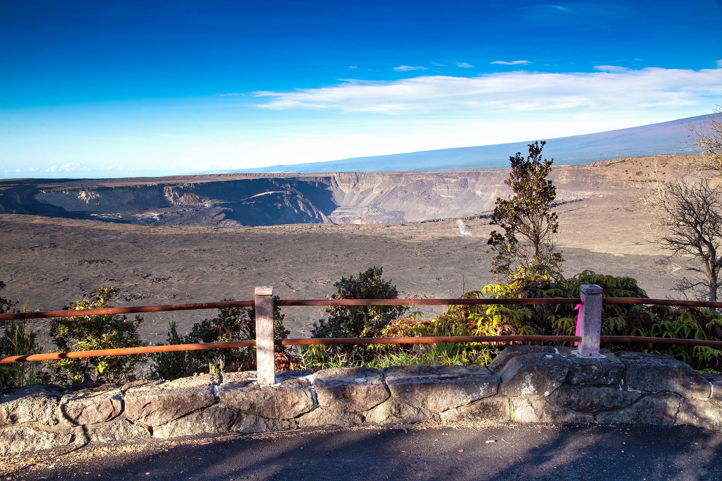
The Kūpinaʻi Pali (Waldron Ledge) portion of Crater Rim Trail is a gentle walk through history, leading to a panoramic view of Kaluapele (Kīlauea caldera) and Halemaʻumaʻu crater, which dramatically collapsed in 2018.
At one point in time, this stretch of trail was part of Crater Rim Drive, the road that encircled the summit caldera. However, on November 16th, 1983, a magnitude 6.7 earthquake struck the island, decimating parts of the road. Large chunks collapsed and deep cracks developed, rendering it impassable. As part of repairs from the seismic event, the road was re-routed to its current path and the portions left behind were converted to the trail you see today. Look for the painted road lines on the trail, a reminder of its history. Locally, this area may still sometimes be referred to as "Earthquake Trail."
Difficulty: Easy - wheelchair accessible.
Distance & hiking time: About one mile (1.6 km) round-trip to the overlook, approximately 45 minutes - 1 hour.
Trail begins: Across the street from Kīlauea Visitor Center, to the left of the Volcano House.
Stroller friendly - trail is over a paved road surface.
This section of trail includes some cracked and tilted sections. The first small overlook past the Volcano House on the right has a very steep descent, but the larger overlook is wheelchair accessible.
Accessibility Wheelchair and stroller accessible, though some sections of trail have a steep grade and may have cracks. The first small overlook past the Volcano House on the right has a very steep descent, but the larger overlook is wheelchair accessible.