
Wilderness Ridge Trail
Campgrounds
Along the way Wilderness Ridge Campground
Permian Reef Trail the Park Service's write-up
5-7 Hours · no dogs · entrance fee applies · Winter, Spring, Fall · season The slopes above the canyon face south so receive full sun all day, hence the hike is best avoided during hot periods in summer.
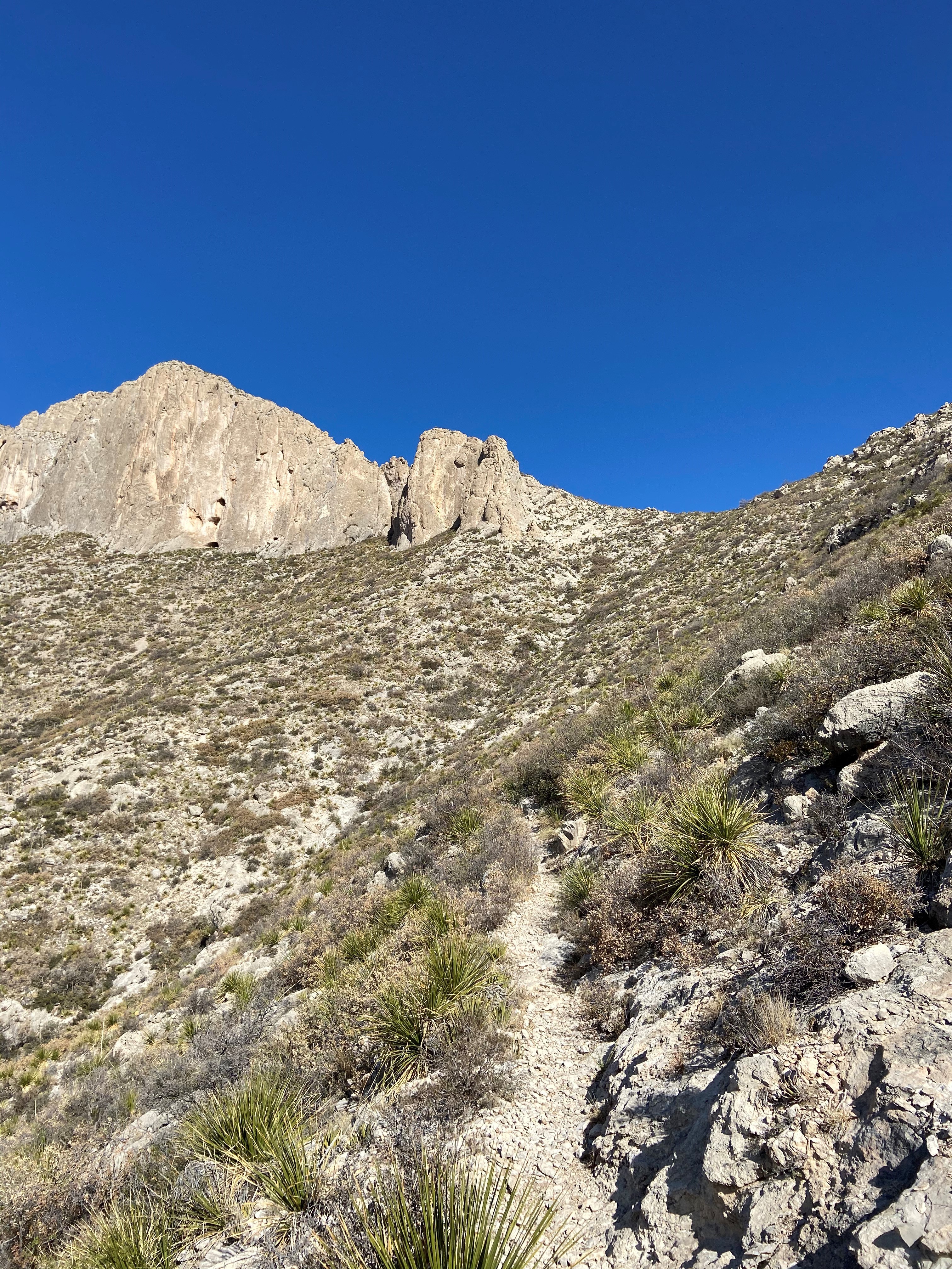
The Permian Reef Trail climbs the north side of McKittrick Canyon to the top of Wilderness Ridge, providing sweeping views into South McKittrick Canyon. At the park boundary, and state line, the trail continues into New Mexico and the Lincoln National Forest. The slopes above the canyon face south, thereby receiving full sun all day, hence the hike is best avoided during hot periods in summer.
Distance: 4.0 miles (6.4 km) to top of ridge; 4.5 miles (7.2 km) to Wilderness Ridge Campground; 4.8 miles (7.7 km) to park boundary (one way distances)
Elevation Change: 2,000 feet
Time Estimate: 5-7 hours
Difficulty: Strenuous
In addition to providing sweeping views of the landscape, the trail was designed to showcase the Permian age geologic and fossil features preserved in the park. For those with a serious interest in Geology, a detailed guidebook for the features seen along the trail from the Texas Bureau of Economic Geology can be purchased at the visitor center.
Pets Pets disturb wildlife and are not allowed on trails. Your pets should remain at home as opportunities for pets are very limited in the park.
Accessibility Trail surfaces are loose rock or hardened rock surfaces. Hiking or trekking poles are highly recommended. Trail widths vary from two to six feet depending on the trail. Parking All trailhead areas have accessible parking available. Service animals Only service animals that have been individually trained to perform specific tasks for the benefit of persons with disabilities are allowed in the park and on trails.