
Smith Spring Trail
Springs
Along the way Manzanita Spring Smith Spring
Trailhead Frijole Ranch Trailhead 5,537 ft Drive there
Smith Spring Trail Loop 2.3 mi round trip · the Park Service's write-up
1-2 Hours · no dogs · entrance fee applies
Start Trailhead
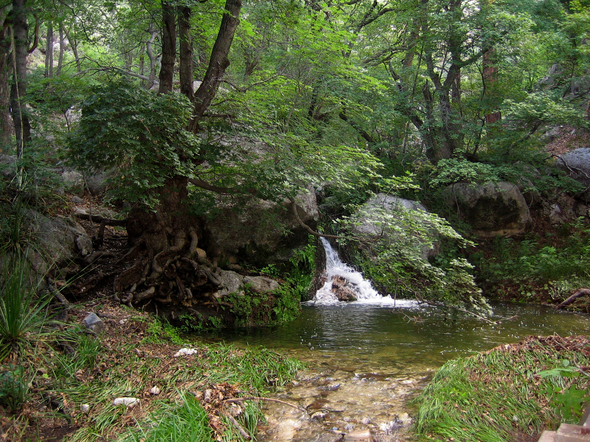
The Smith Spring Loop is paved from Frijole Ranch to Manzanita Spring. It then ascends along a maintained trail to the heavily vegetated Smith Spring. The trail offers dramatic views of the surrounding mountains, foothills, and desert landscape. The spring is a shady oasis of water up against the mountains.
Distance: 2.3 miles (3.7 km) round-trip, loop
Elevation Change: 402 feet
Time Estimate: 1-2 hours
Difficulty: Easy - Moderate
Pets Pets disturb wildlife and are not allowed on trails. Your pets should remain at home as opportunities for pets are very limited in the park.
Accessibility To the Frijole Ranch buildings and the Manzanita Spring the trail is a paved surface. Trail surfaces past Manzanita Spring are loose rock or hardened rock surfaces. Hiking or trekking poles are highly recommended. Trail widths vary from two to six feet depending on the trail. Parking All trailhead areas have accessible parking available. Service animals Only service animals that have been individually trained to perform specific tasks for the benefit of persons with disabilities are allowed in the park and on trails.