
Pinery Trail
Visitor centers
Along the way Pine Springs Headquarters and Visitor Center
Campground Connector Trail the Park Service's write-up
10-20 Minutes · dogs allowed · entrance fee applies
Start Start at the Visitor Center Parking Lot
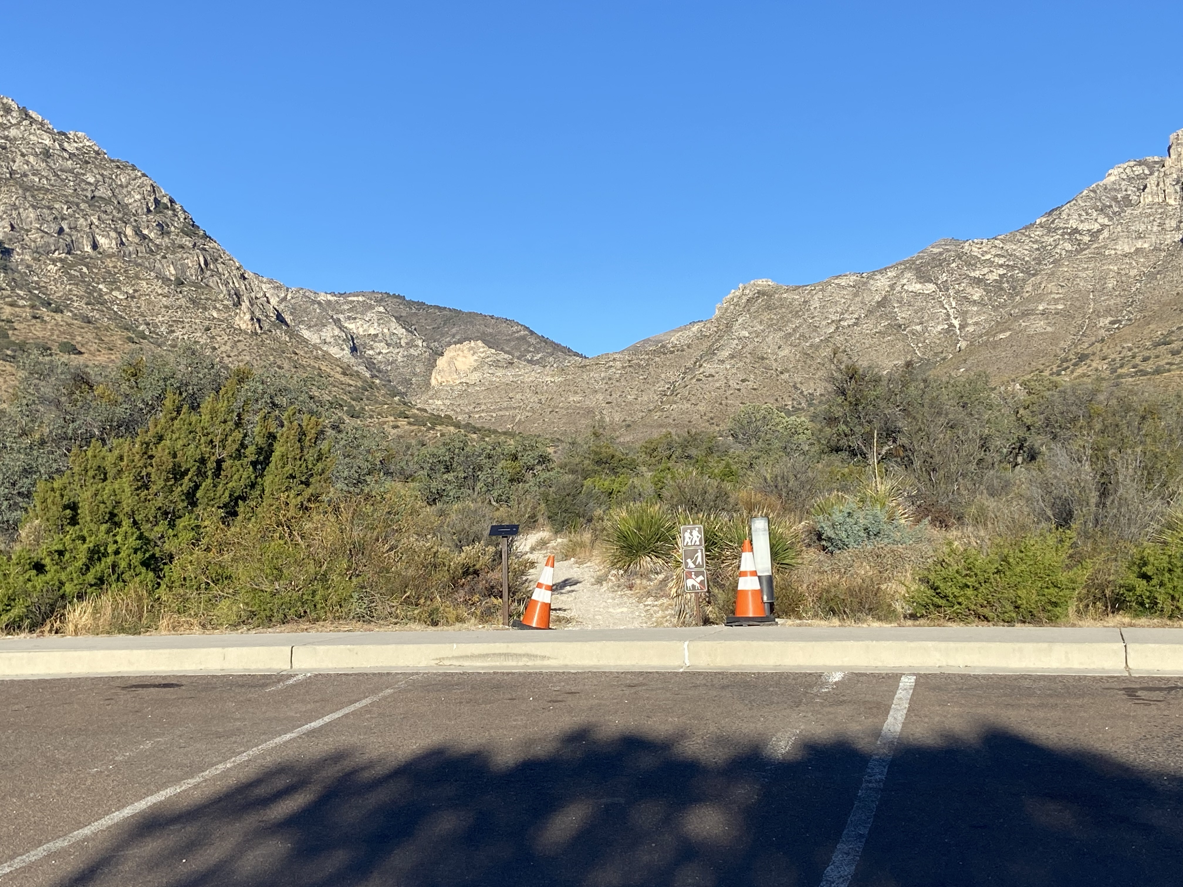
This short trail connects the visitor center to the campground and the trailhead area at Pine Springs. During peak periods, many hikers will use this to travel from the visitor center parking lot to the trailhead and on to their day hike destinations.
Distance: 0.2 miles (0.3 km) from the visitor center to the campground; 0.4 miles (0.6 km) from the visitor center parking lot to the upper trailhead.
Elevation Change: 102 feet
Time Estimate: 10 minutes
Difficulty: Easy
Leashed pets are allowed on this trail.
Accessibility Trail surfaces are loose rock or hardened rock surfaces. Hiking or trekking poles are highly recommended. Trail widths vary from two to six feet depending on the trail. Parking All trailhead areas have accessible parking available. Service animals Only service animals that have been individually trained to perform specific tasks for the benefit of persons with disabilities are allowed in the park and on trails.
Can I Take My Dog? the Park Service's write-up
1-1 Hours · dogs allowed · entrance fee applies
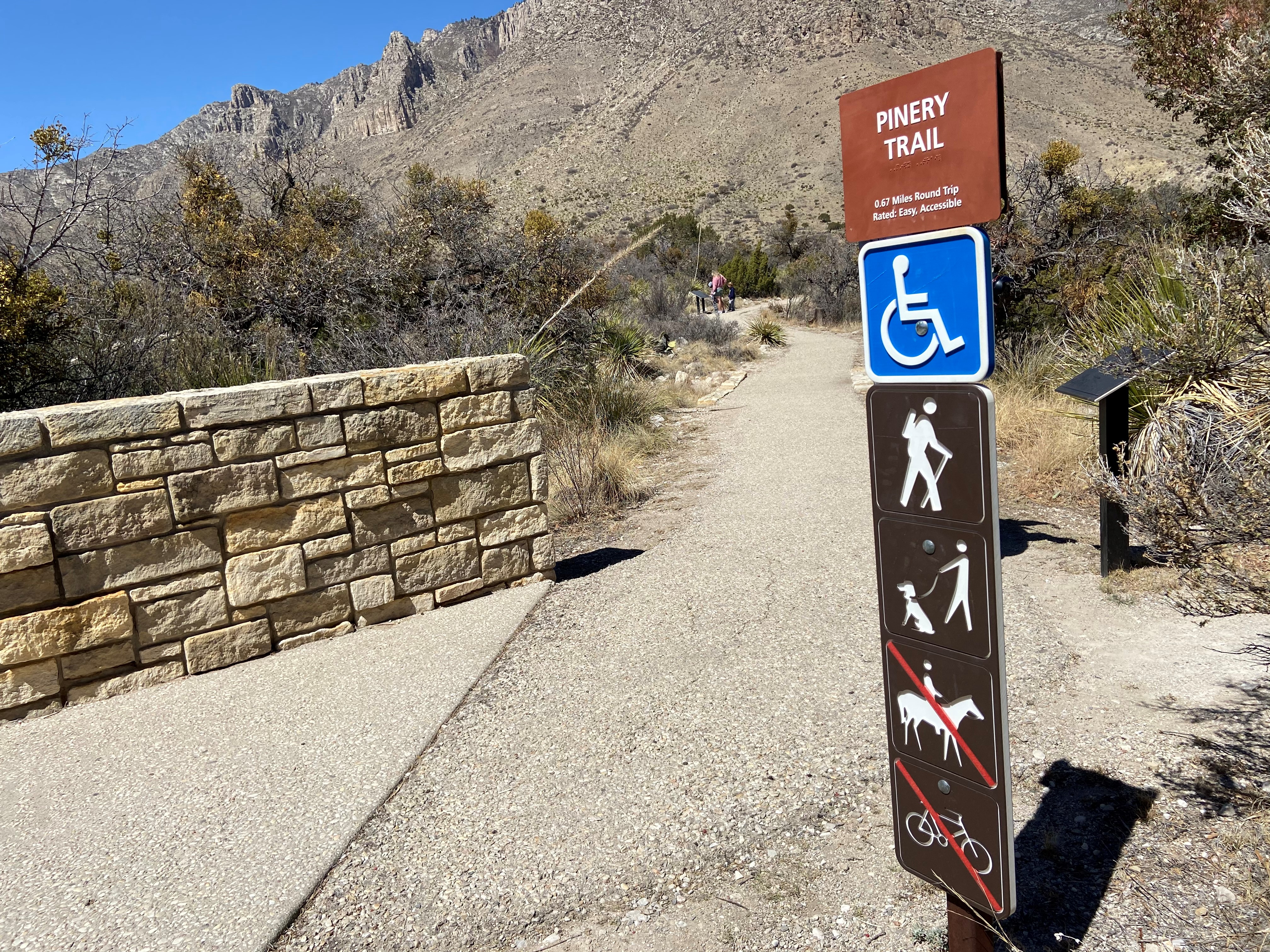
Opportunities for pets are limited. Leashed pets may walk on the short Pine Springs Campground connector trail or along the Pinery Trail from the visitor center to the Butterfield Stage Station.
Leashed pets are allowed:
The Pine Springs Campground connector trail to the Pine Springs Visitor Center or along the Pinery Trail from the visitor center to the Butterfield Stage Station.
On and within 30 feet of paved and unpaved park roads open for public vehicular use.
In parking areas.
In established picnic areas.
In frontcountry developed campgrounds.
At Guadalupe Mountains, pets are prohibited:
in park buildings
in restrooms
at public programs
in the backcountry
on ALL park trails except the Pinery Trail and the Pine Springs Campground connector trail.
Learn more about pet policies and restrictions in the park.
Accessibility Parking All trailhead areas have accessible parking available. Service animals Only service animals that have been individually trained to perform specific tasks for the benefit of persons with disabilities are allowed in the park and on trails.
Pinery Trail 0.75 mi round trip · the Park Service's write-up
20-30 Minutes · dogs allowed · entrance fee applies
Start Trailhead
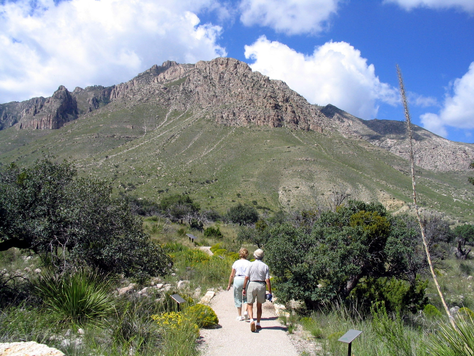
Discover the desert as you walk from the Visitor Center to the ruins of the Pinery Station . The accessible Pinery Trail offers visitors an opportunity to take a quick walk on a paved trail. The trail also features ruins of the Old Butterfield Stagecoach Route Pinery Station built in 1858.
Distance: 0.75 miles (1.2 km) round-trip, out and back
Elevation Change: 40 feet
Time Estimate: 20-30 minutes
Difficulty: Easy
Trail Type: Paved
Leashed pets are allowed on this trail.
Accessibility From the visitor center to the Pinery, this trail is paved and fully accessible. Parking All trailhead areas have accessible parking available. Service animals Only service animals that have been individually trained to perform specific tasks for the benefit of persons with disabilities are allowed in the park and on trails.