
McKittrick Canyon Trail
Picnic areasVisitor centers
Along the way Pratt Cabin Picnic Area The Grotto Picnic Area McKittrick Canyon Contact Station
Trailhead McKittrick Canyon Trailhead 5,015 ft Drive there
McKittrick Canyon Nature Trail 0.9 mi round trip · the Park Service's write-up
30-60 Minutes · no dogs · entrance fee applies
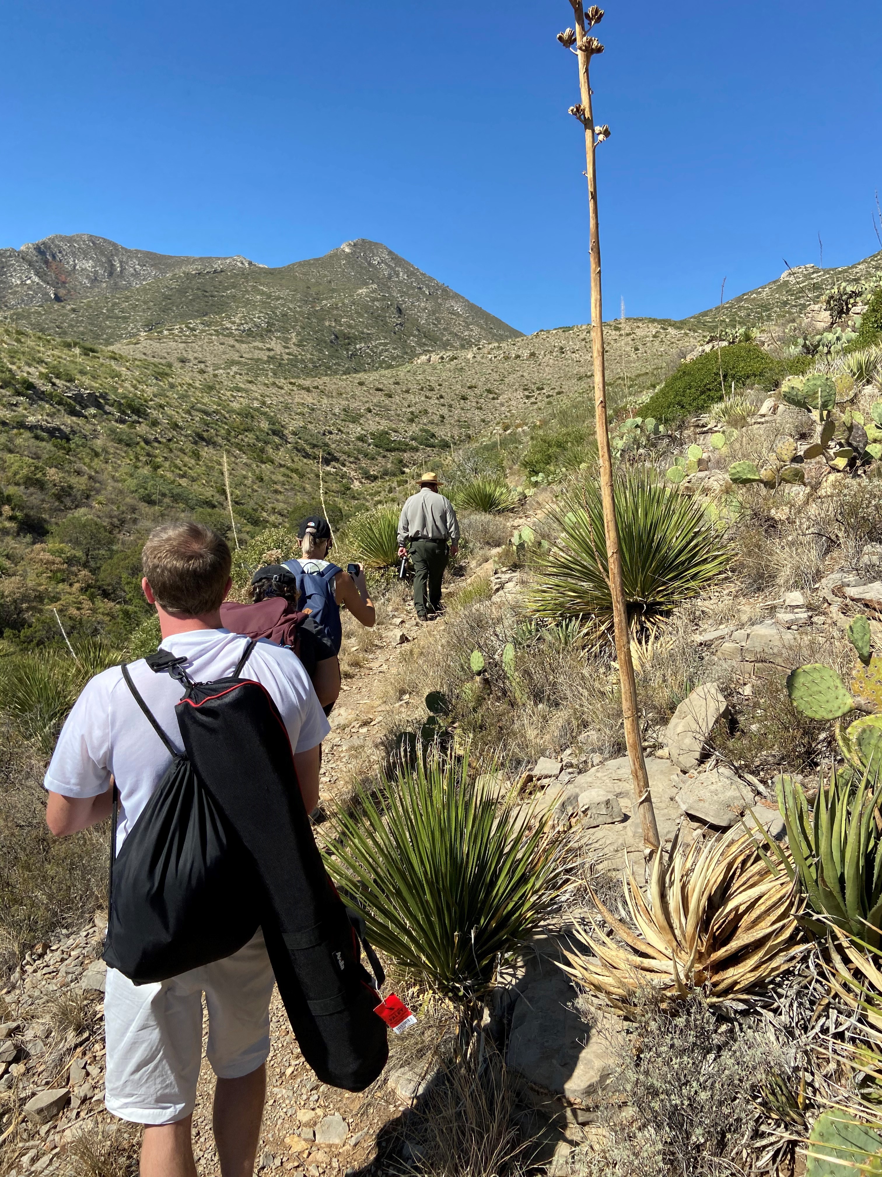
Traveling clockwise, this fascinating, short trail passes an intermittent seep that lies hidden in junipers, then wanders up a southwest slope along an arroyo. Here, plants and animals tolerate true desert conditions. Trailside exhibits describe common plants, and reference wildland fire. At the top of the trail you can look down at the mouth of McKittrick Canyon and read about Permian Reef geology. As the trail continues down northeast slope you will probably recognize that less sun exposure makes this side a little more lush.
Distance: 0.9 miles (1.4 km) round-trip, loop
Time Estimate: 1 hour
Difficulty: moderate
Pets Pets disturb wildlife and are not allowed on trails. Your pets should remain at home as opportunities for pets are very limited in the park.
Accessibility Trail surfaces are loose rock or hardened rock surfaces. Hiking or trekking poles are highly recommended. Trail widths vary from two to six feet depending on the trail. Parking All trailhead areas have accessible parking available. Service animals Only service animals that have been individually trained to perform specific tasks for the benefit of persons with disabilities are allowed in the park and on trails.
McKittrick Canyon to Dog Canyon 15 mi one way · the Park Service's write-up
8-12 Hours · no dogs · entrance fee applies
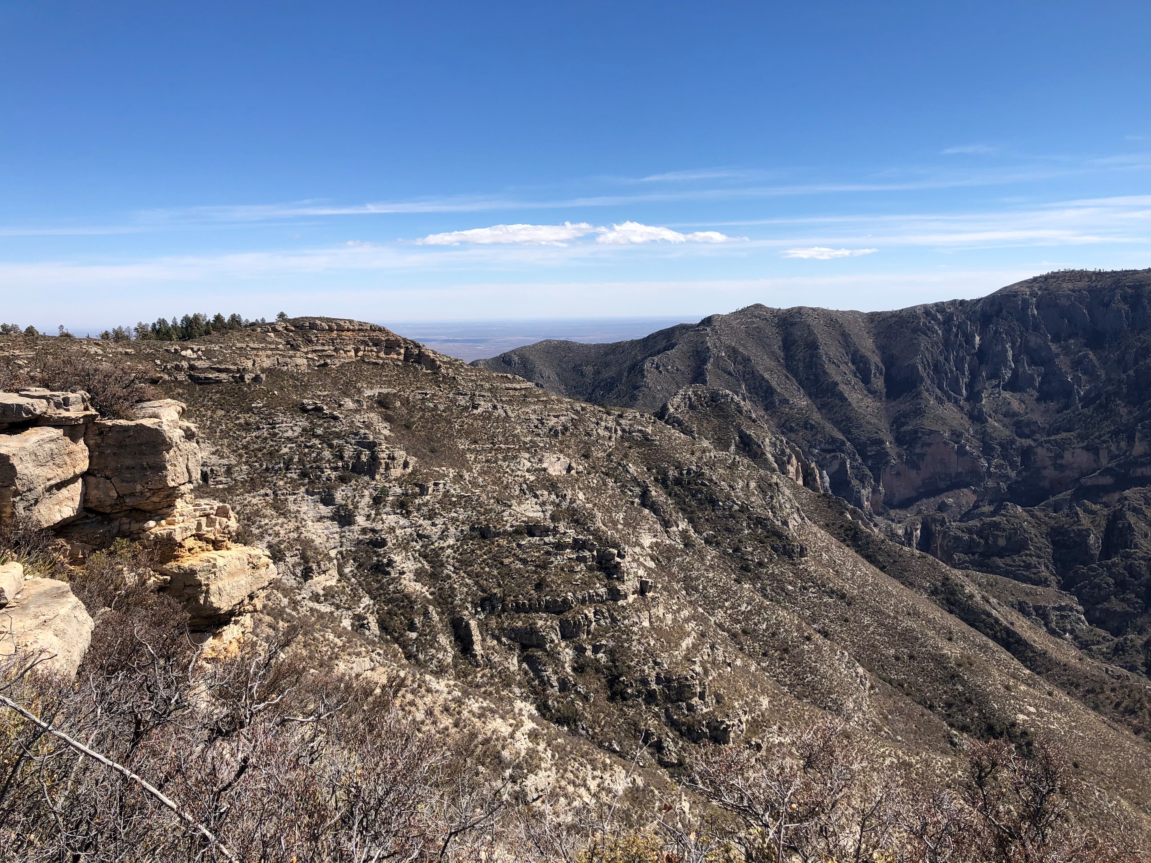
This is an extremely rewarding trail, offering both the variety of McKittrick Canyon and the grandeur of the high ridges that surround it. The floor of McKittrick Canyon provides a panoramic experience through the unique environments of the canyon; to protect this special habitat, visitors are asked to stay on the trail and stay out of the water.
The McKittrick Canyon Trail follows the floor of South McKittrick Canyon for four miles before climbing steeply to gain the ridge on the north side of the canyon. This is an arduous climb of 2,380 feet in about two miles and provides spectacular views into the canyon and to the ridges that border it. The trail continues along the ridge above South McKittrick Canyon, ascending to a high point of 7,916 feet and gradually descending to a junction with the Tejas Trail.
The route passes the saddle at Lost Peak. No trail leads to the summit itself. Descending from the area of Lost Peak the trail passes through the grassy areas that define the northern portion of the park.
Overnight backpacking is recommended at the McKittrick Ridge Wilderness Campground.
Distance: 15.0 miles (24.1 km) one way. For more detailed information on trails, check our trail descriptions page.
Time Estimate: 8-12 hours
Difficulty: Strenuous
Duration: Minimum of one night, two days.
Trailheads: McKittrick Canyon and Dog Canyon Trailheads. The drive between the trailheads is two hours. No shuttle service runs between the two trailheads.
Pets Pets disturb wildlife and are not allowed on trails. Your pets should remain at home as opportunities for pets are very limited in the park.
Accessibility Trail surfaces are loose rock or hardened rock surfaces. Hiking or trekking poles are highly recommended. Trail widths vary from two to six feet depending on the trail. Parking All trailhead areas have accessible parking available. Service animals Only service animals that have been individually trained to perform specific tasks for the benefit of persons with disabilities are allowed in the park and on trails.
Permian Reef Trail the Park Service's write-up
5-7 Hours · no dogs · entrance fee applies · Winter, Spring, Fall · season The slopes above the canyon face south so receive full sun all day, hence the hike is best avoided during hot periods in summer.
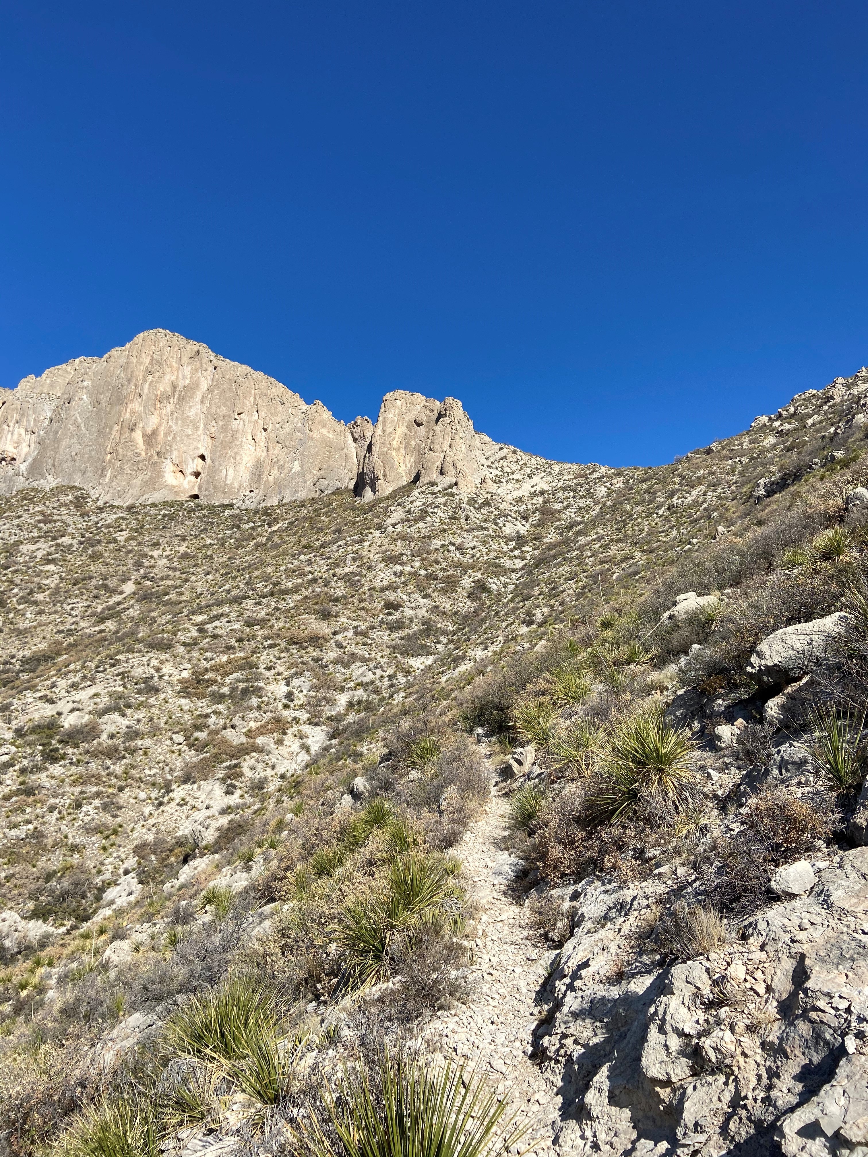
The Permian Reef Trail climbs the north side of McKittrick Canyon to the top of Wilderness Ridge, providing sweeping views into South McKittrick Canyon. At the park boundary, and state line, the trail continues into New Mexico and the Lincoln National Forest. The slopes above the canyon face south, thereby receiving full sun all day, hence the hike is best avoided during hot periods in summer.
Distance: 4.0 miles (6.4 km) to top of ridge; 4.5 miles (7.2 km) to Wilderness Ridge Campground; 4.8 miles (7.7 km) to park boundary (one way distances)
Elevation Change: 2,000 feet
Time Estimate: 5-7 hours
Difficulty: Strenuous
In addition to providing sweeping views of the landscape, the trail was designed to showcase the Permian age geologic and fossil features preserved in the park. For those with a serious interest in Geology, a detailed guidebook for the features seen along the trail from the Texas Bureau of Economic Geology can be purchased at the visitor center.
Pets Pets disturb wildlife and are not allowed on trails. Your pets should remain at home as opportunities for pets are very limited in the park.
Accessibility Trail surfaces are loose rock or hardened rock surfaces. Hiking or trekking poles are highly recommended. Trail widths vary from two to six feet depending on the trail. Parking All trailhead areas have accessible parking available. Service animals Only service animals that have been individually trained to perform specific tasks for the benefit of persons with disabilities are allowed in the park and on trails.
Pine Springs to McKittrick Canyon the Park Service's write-up
12-16 Hours · no dogs · entrance fee applies
The Tejas Trail is the primary north/south through trail within the park, connecting the Pine Springs Trailhead with the Dog Canyon Trailhead at the park's northern boundary. This major artery can be used to connect to numerous other trails to make a variety of loops.
Headed north the trail climbs out of Pine Springs Canyon into the Wilderness high country. The central portion of the trail from Pine Top until the McKittrick Canyon Trail junction is forested, passing through the Bowl and numerous drainages.
The trail gradually ascends from the McKittrick Canyon junction to a high point of 7,916 feet before descending along the ridge above South McKittrick Canyon. The descent of 2,380 feet in about two miles provides spectacluar views into the canyon and the ridges that border it. The trail follows the floor of South McKittrick Canyon for the last four miles before returning to the McKittrick Canyon Trailhead.
This is an extremely rewarding trail, offering both the variety of McKittrick Canyon and the grandeur of the high ridges that surround it. The floor of McKittrick Canyon provides a panoramic experience through the unique environments of the canyon; to protect this special habitat, visitors are asked to stay on the trail and stay out of the water.
Overnight backpacking is recommended at Pine Top, Tejas, Mescalero, and/or McKittrick Ridge Wilderness Campgrounds.
Distance: Total distance from the Pine Springs Trailhead to the McKittrick Canyon Trailhead is 18.8 miles (30.4 km).
For more detailed information on trails, check our trail descriptions page.
Elevation Change: Accumulation of 3,200 feet
Time Estimate: 12-16 hours
Difficulty: Strenuous
Duration: Minimum of one night, two days.
Trailheads: Pine Springs and McKittrick Canyon Trailheads. The drive between the trailheads is 20-30 minutes. No shuttle service runs between the two trailheads.
Pets Pets disturb wildlife and are not allowed on trails. Your pets should remain at home as opportunities for pets are very limited in the park.
Accessibility Trail surfaces are loose rock or hardened rock surfaces. Hiking or trekking poles are highly recommended. Trail widths vary from two to six feet depending on the trail. Parking All trailhead areas have accessible parking available. Service animals Only service animals that have been individually trained to perform specific tasks for the benefit of persons with disabilities are allowed in the park and on trails.
Pratt Cabin 4.8 mi round trip · the Park Service's write-up
2-4 Hours · no dogs · entrance fee applies
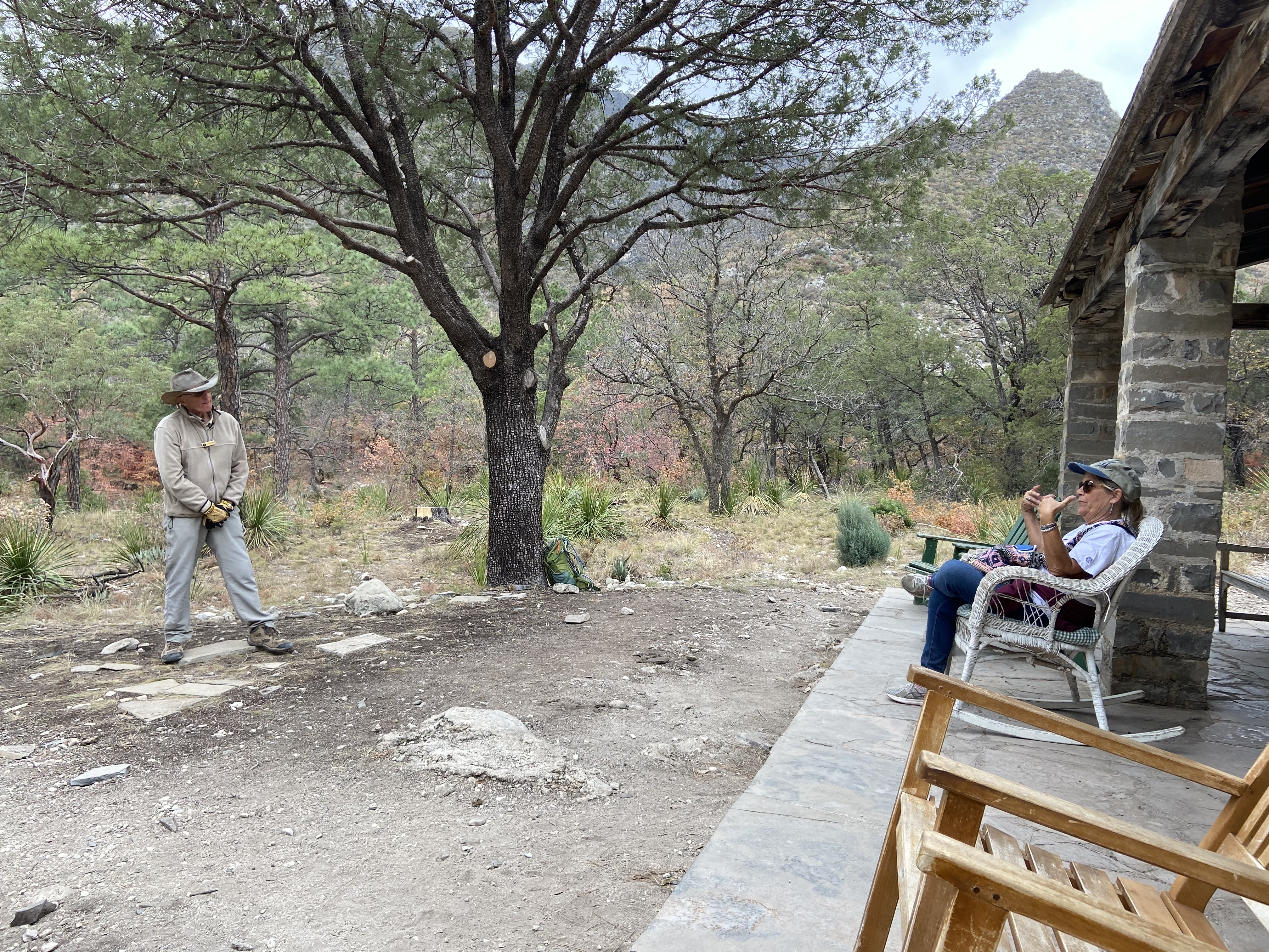
Enjoy the shortest distance into the heart of the canyon by hiking to Pratt Cabin and return (a distance of 4.8 miles). Along this walk you will cross the stream twice before arriving at the historic structure. Enjoy a snack or lunch at the picnic tables near or at Pratt Cabin, or sit for a spell on the porch. Volunteers staff Pratt Cabin on occasion; take a look inside the stone structure.
Distance: 4.8 miles (7.7 km) round-trip, out and back
Time Estimate: 2-4 hours
Difficulty: Moderate due to length
Pets Pets disturb wildlife and are not allowed on trails. Your pets should remain at home as opportunities for pets are very limited in the park.
Accessibility Trail surfaces are loose rock or hardened rock surfaces. Hiking or trekking poles are highly recommended. Trail widths vary from two to six feet depending on the trail. Parking All trailhead areas have accessible parking available. Service animals Only service animals that have been individually trained to perform specific tasks for the benefit of persons with disabilities are allowed in the park and on trails.
The Grotto and Hunter Line Shack 7 mi round trip · the Park Service's write-up
3-5 Hours · no dogs · entrance fee applies · season McKittrick Canyon is beautiful all year but is especially well known for fall colors in late October.
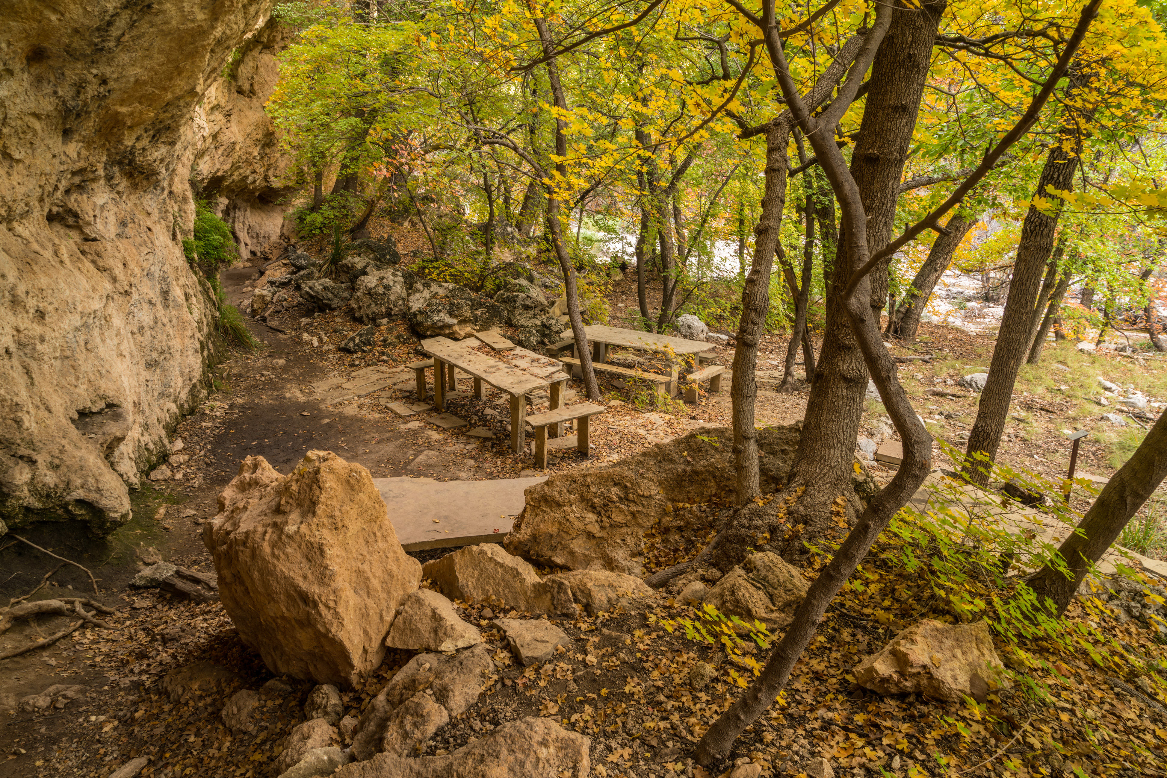
Stretch out your day hike into McKittrick Canyon by hiking to the Grotto. Elevation gain doubles as you travel further up canyon, but is still mild at less then 600 feet gained from the trailhead. Exposed cave features and stone picnic tables near the Hunter Line Shack make for a fabulous lunch destination. A short distance past the Grotto is the Hunter Line Shack, part of a 1920s ranching operaiton in the mountains.
Distance: 7.0 miles (11.3 km) round-trip, out and back
Time Estimate: 3-5 hours
Difficulty: Moderate due to length
Pets Pets disturb wildlife and are not allowed on trails. Your pets should remain at home as opportunities for pets are very limited in the park.
Accessibility Trail surfaces are loose rock or hardened rock surfaces. Hiking or trekking poles are highly recommended. Trail widths vary from two to six feet depending on the trail. Parking All trailhead areas have accessible parking available. Service animals Only service animals that have been individually trained to perform specific tasks for the benefit of persons with disabilities are allowed in the park and on trails.
The Notch 9 mi round trip · the Park Service's write-up
5-7 Hours · no dogs · entrance fee applies · season McKittrick Canyon is beautiful all year but is especially well known for fall colors in late October.
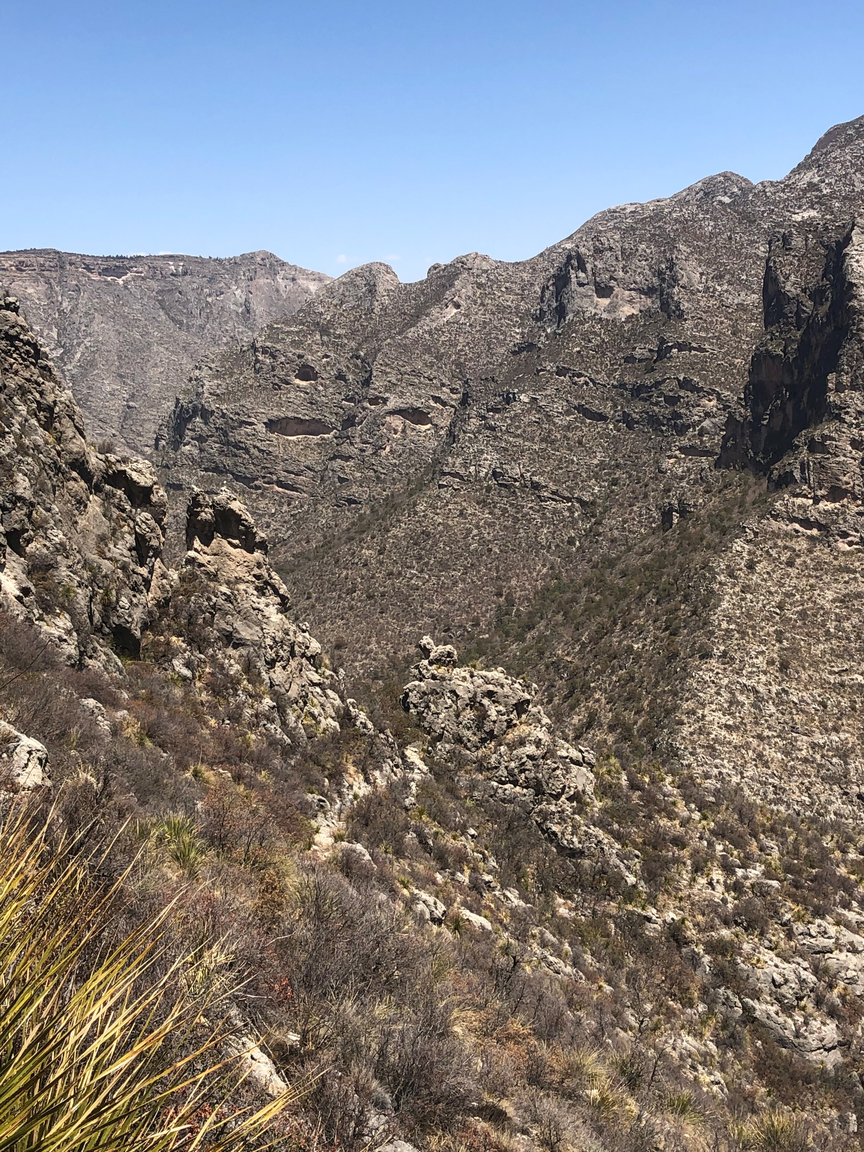
The hike to "the Notch" is a challenging day hike that proceeds through McKittrick Canyon to a dramatic viewpoint about half way up toward McKittrick Ridge. For most hikers this destination makes a dramtic turn-around point for an excellent day hike in McKittrick Canyon.
Distance: 9.0 miles (14.5 km) round-trip, out and back
Elevation Change: 1,092 feet
Time Estimate: 5-7 hours
Difficulty: Difficult, past the Grotto
Pets Pets disturb wildlife and are not allowed on trails. Your pets should remain at home as opportunities for pets are very limited in the park.
Accessibility Trail surfaces are loose rock or hardened rock surfaces. Hiking or trekking poles are highly recommended. Trail widths vary from two to six feet depending on the trail. Parking All trailhead areas have accessible parking available. Service animals Only service animals that have been individually trained to perform specific tasks for the benefit of persons with disabilities are allowed in the park and on trails.