
Indian Meadows Nature Loop
CampgroundsPicnic areas
Along the way Dog Canyon Campground Dog Canyon Picnic Area
Trailhead Indian Meadow Nature Trail 6,261 ft Drive there
Indian Meadow Nature Trail 0.6 mi loop · the Park Service's write-up
30-45 Minutes · no dogs · entrance fee applies
Start Indian Meadow Nature Trail
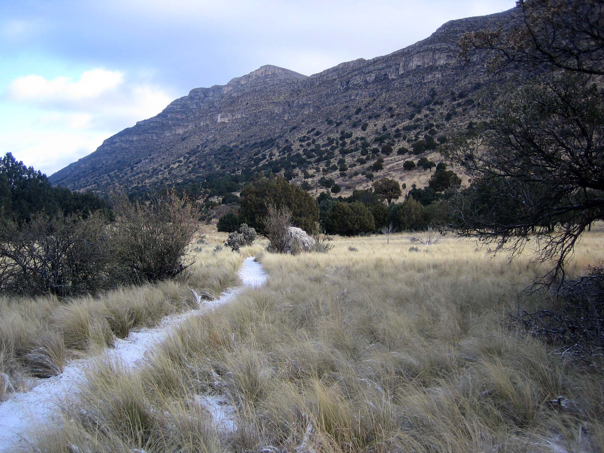
Named for the once abundant black-tailed prairie dog, Dog Canyon is home to a surprising variety of plant and animal species and was a traditional occupation site for the Mescalaro Apache. The Indian Meadow Nature Trail is an easy 0.6 mile loop that begins across the road from the ranger station and next to the group campsite, offering good views of the landscape. At a leisurely pace it takes 30-45 minutes. The trail is rated easy as it remains almost level after crossing an arroyo.
Wildlife is abundant due to the variety of habitat types found here: arid grassland, juniper-oak woodlands, pine forest, and riparian (streamside) areas of maples and oaks.
Pets Pets disturb wildlife and are not allowed on trails. Your pets should remain at home as opportunities for pets are very limited in the park.
Accessibility Trail surfaces are loose rock or hardened rock surfaces. Hiking or trekking poles are highly recommended. Trail widths vary from two to six feet depending on the trail. Parking All trailhead areas have accessible parking available. Service animals Only service animals that have been individually trained to perform specific tasks for the benefit of persons with disabilities are allowed in the park and on trails.