
Foothills Trail
Foothills Loop 4.5 mi round trip · the Park Service's write-up
2-4 Hours · no dogs · entrance fee applies · season While this is generally a year-round route in good weather, the Foothills Loop will be open and exposed to high temperatures from late summer through early Fall.
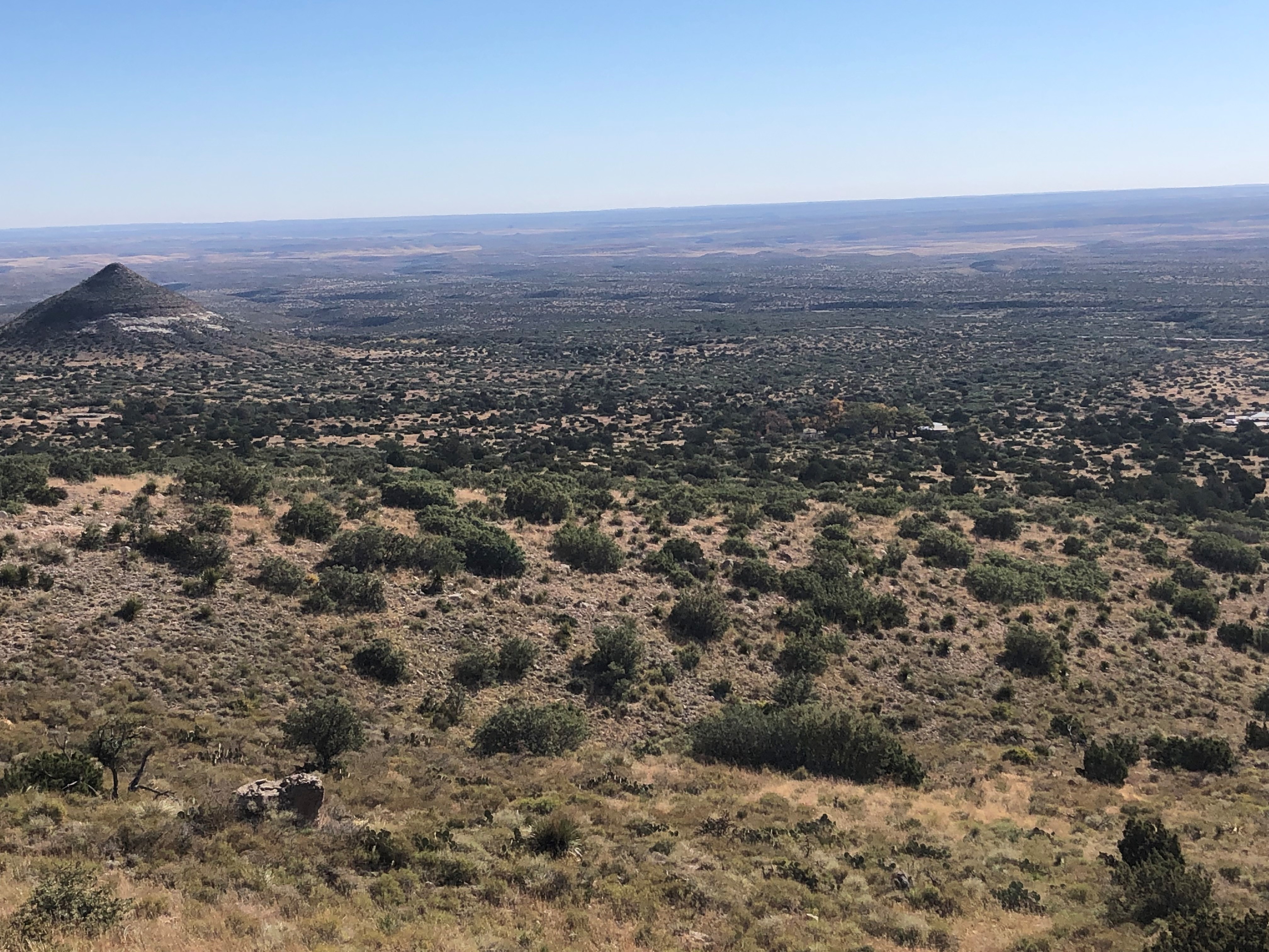
This moderate loop route uses the Frijole Trail and the Foothills Trail to make a loop below the eastern escarpment of the Guadalupe Mountains. Excellent views up Bear Canyon and toward El Capitan can be found along the trail. It's not unusual to spot deer along the trail. This trail can be hiked high to low (Frijole Trail first) or low to high (Foothills Trail first).
Distance: 4.5 miles (7.2 km) round-trip from Frijole Ranch; 5.5 miles (8.9 km) round-trip from Pine Springs
Elevation Change: 800 feet
Time Estimate: 2-4 hours
Difficulty: Moderate
Trailheads: This loop can begin either at Pine Springs or the Frijole Ranch.
Trails: Portions of the Foothills and Frijole Trails are used to make a loop.
Pets Pets disturb wildlife and are not allowed on trails. Your pets should remain at home as opportunities for pets are very limited in the park.
Accessibility Trail surfaces are loose rock or hardened rock surfaces. Hiking or trekking poles are highly recommended. Trail widths vary from two to six feet depending on the trail. Parking All trailhead areas have accessible parking available. Service animals Only service animals that have been individually trained to perform specific tasks for the benefit of persons with disabilities are allowed in the park and on trails.