
Dunes Trail
Picnic areas
Along the way Gypsum Dunes Picnic Area
Trailhead Gypsum Dunes Trailhead 3,646 ft Drive there
Salt Basin Dunes Trail 3–4 mi round trip · the Park Service's write-up
1-3 Hours · no dogs · entrance fee applies · Winter, Spring, Fall · season Visitation to the Salt Basin Dunes can be problematic during the summer months when temperatures can exceed 100°F. Summer storms may produce heavy rains that can make the access road impassable for days or weeks at a time.
Start Start at the Salt Basin Dunes Trailhead
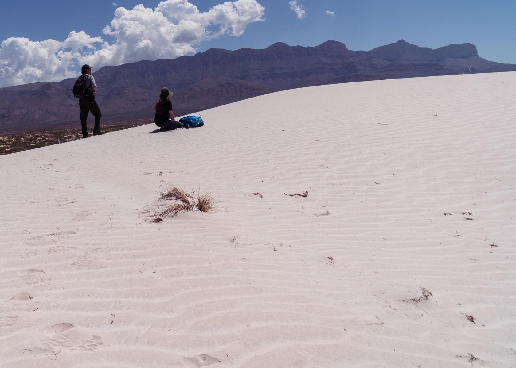
The white gypsum sands of the Salt Basin Dunes rise 100 feet from the desert floor and provide a brilliant contrast to the dark, towering cliffs of the Guadalupe Mountains.
Distance: 3-4 miles (5-7 km) round-trip, out and back
Time Estimate: 1-3 hours
Difficulty: Moderate. Some dunes are 60 feet high and require scrambling.
To the west are barren salt flats that are the source of these beautiful dunes. When rain runs off the highly soluble limestone rock in the adjacent mountains, salts are leached. This runoff pools in the desert basin and as it evaporates, large grains of mineral salts are left behind. The wind carries the salt grains northeast toward the Guadalupe Mountains and deposits them at the base of the western Guadalupe escarpment to form gypsum dunes.
The dune landscape is geologically young. It developed over the past few thousand years as dissolved salts and gypsum from an adjacent lake bed were deposited by wind into ever changing sculpted hill, swale, and ripple formations. The mesquite coppice dunes form stabilized spots where wildlife abounds.
The dunes environment is home to gypsum-loving plant and animal life such as gypsum scalebroom, a white variant of the lesser earless spiny lizard, and five of the park’s seven species of scorpions.
Pets Pets disturb wildlife and are not allowed on trails. Your pets should remain at home as opportunities for pets are very limited in the park.
Accessibility Trail surfaces are loose rock or hardened rock surfaces. Hiking or trekking poles are highly recommended. Trail widths vary from two to six feet depending on the trail. Parking All trailhead areas have accessible parking available. Service animals Only service animals that have been individually trained to perform specific tasks for the benefit of persons with disabilities are allowed in the park and on trails.