
Devil's Hall Trail
Devil's Hall 4.2 mi round trip · the Park Service's write-up
3-5 Hours · no dogs · entrance fee applies · season While this is generally a year-round route in good weather, Devil's Hall can be a good hike for fall colors from mid-October to mid-November.
Start Start at the Pine Springs Trailhead
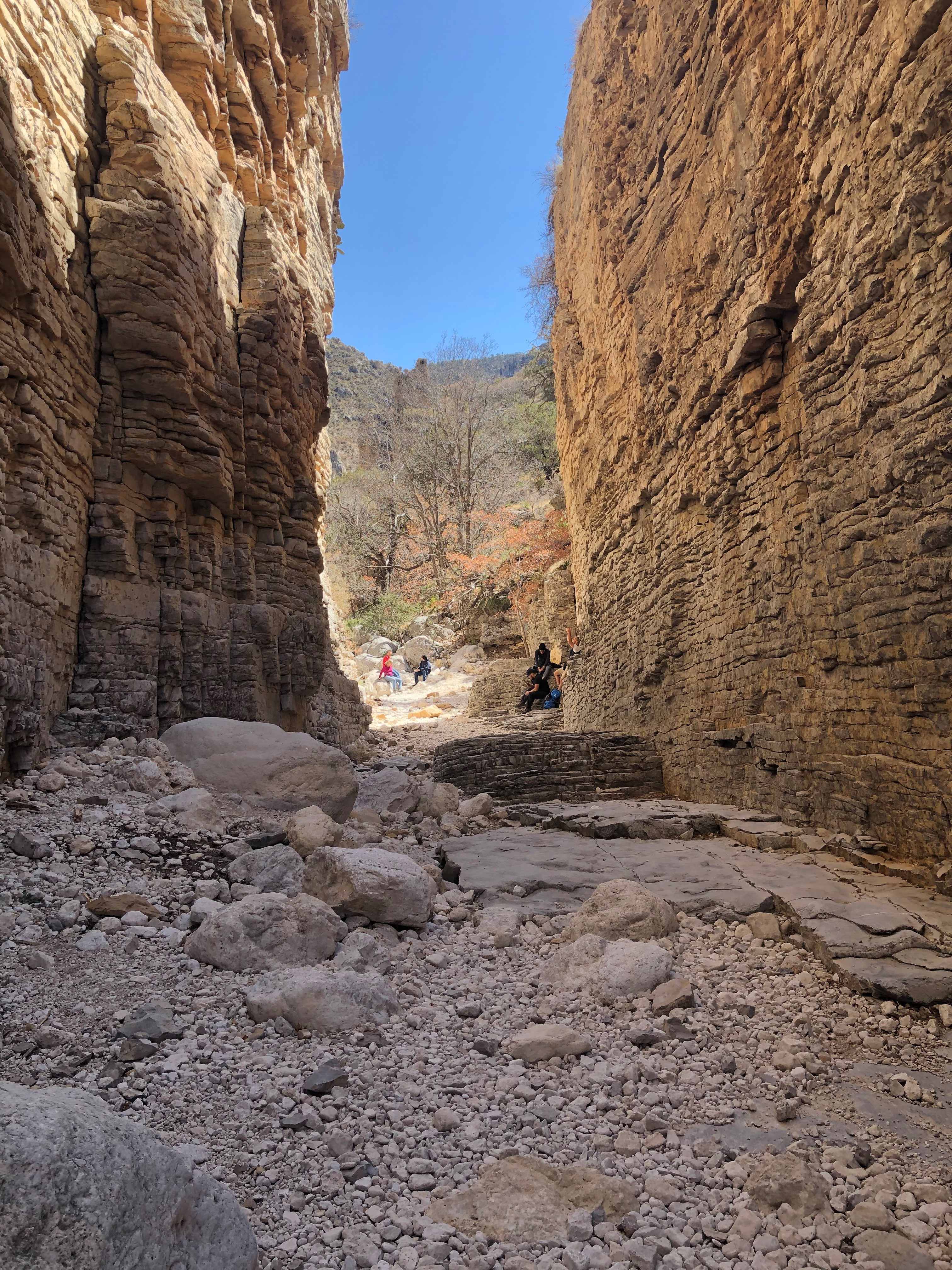
The route to Devil's Hall departs from the Pine Springs Trailhead and is 4.2 miles round-trip. After the first mile the trail leads to a rocky wash which takes hikers to an impressive natural rock staircase leading to a "hallway" formed by steep canyon walls. The wash portion of the route requires the hiker to scramble over large boulders and other debris. This route offers spectacular views of geologic formations, steep canyon walls, tall trees, and mountaintops.
Distance: 4.2 miles (6.8 km) round-trip, out and back
Elevation Change: 548 feet
Time Estimate: 3-5 hours
Difficulty: Strenuous , with rock scrambling and loose rock surfaces.
CAUTION:
Due to increasingly frequent heavy rain events in the late summers, the portion of the Devil's Hall trail in the wash is covered in loose rocks, boulders, and other debris. Visitors should exercise caution, use proper footwear, and trekking poles. Do not attempt to climb in the wash or canyon walls in wet or rainy conditions.
At two places the route enters and exits desert washes; proceed with caution and carefully observe the landscape. Some visitors struggle to find the trail after dark or if they are unprepared.
Pets Pets disturb wildlife and are not allowed on trails. Your pets should remain at home as opportunities for pets are very limited in the park.
Accessibility Trail surfaces are loose rock or hardened rock surfaces. Hiking or trekking poles are highly recommended. Trail widths vary from two to six feet depending on the trail. Parking All trailhead areas have accessible parking available. Service animals Only service animals that have been individually trained to perform specific tasks for the benefit of persons with disabilities are allowed in the park and on trails.