
Bush Mountain Trail
PeaksCampgrounds
Along the way Marcus Campground Pine Top Campground Bush Mountain
Marcus Overlook 5.2 mi round trip · the Park Service's write-up
3-5 Hours · no dogs · entrance fee applies · Winter, Spring, Fall · season Even with the higher elevations on the northern part of the park, summer temperatures may make this hike unsafe or at the very least unpleasant. Expect high winds (in excess of 30MPH from November through March). This route on the northern portion of the Bush Mountain Trail has little to no shade.
Start Begin at the Dog Canyon Trailhead
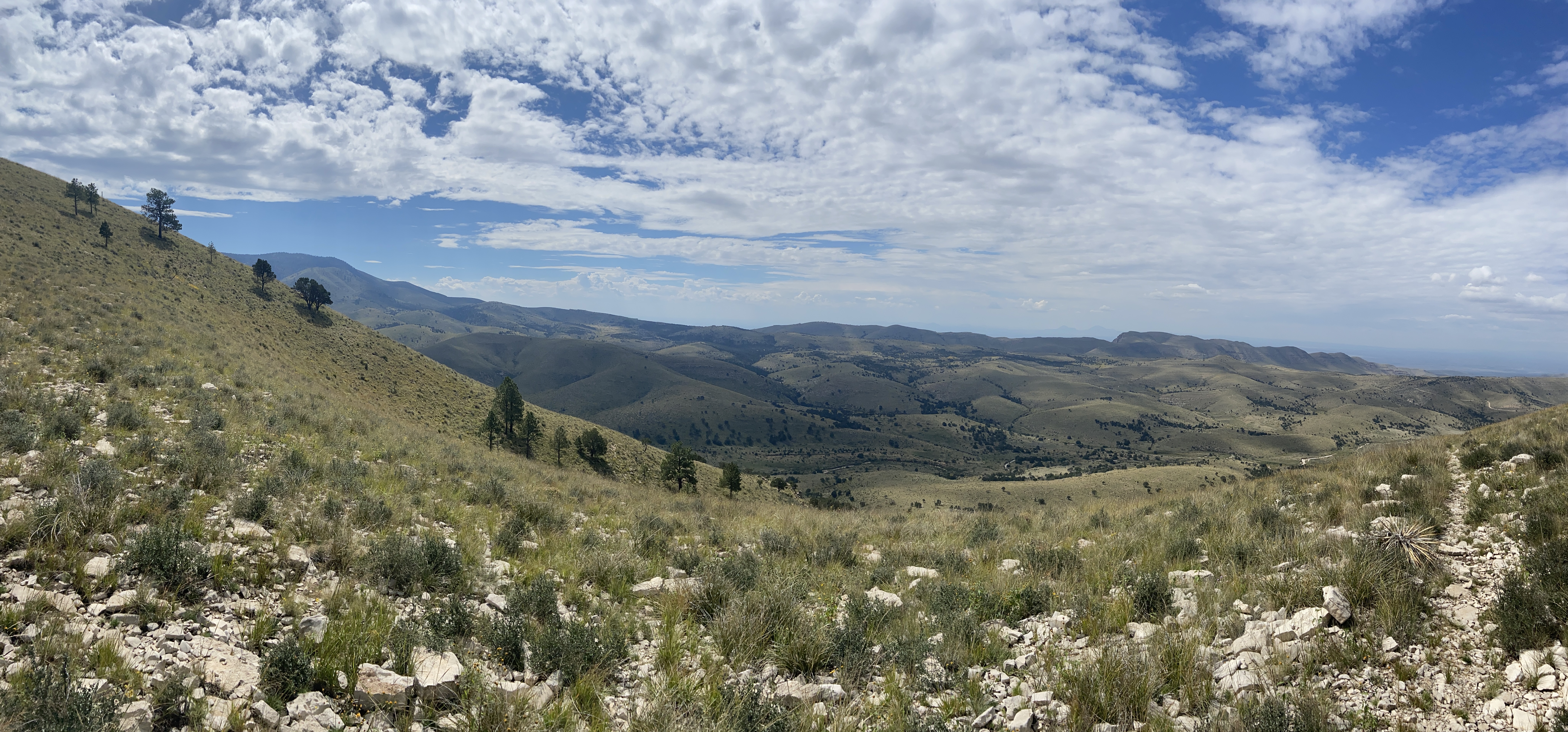
Hiking the Bush Mountain Trail from Dog Canyon out to the Marcus Overlook and back makes an excellent and usually solitary day hike in the Guadalupe Mountains. From the Marcus Overlook, there are commanding views south into the Guadalupe Mountains and westward.
Distance: 5.2 miles (8.4 km) round-trip, out and back
Elevation Change: 825 feet
Time Estimate: 3-5 hours
Difficulty: Moderate
Pets Pets disturb wildlife and are not allowed on trails. Your pets should remain at home as opportunities for pets are very limited in the park.
Accessibility Trail surfaces are loose rock or hardened rock surfaces. Hiking or trekking poles are highly recommended. Trail widths vary from two to six feet depending on the trail. Parking All trailhead areas have accessible parking available. Service animals Only service animals that have been individually trained to perform specific tasks for the benefit of persons with disabilities are allowed in the park and on trails.