
Bowl Trail
Hunter Peak 8.7 mi round trip · the Park Service's write-up
6-8 Hours · no dogs · entrance fee applies · season While the steep Bear Canyon Trail (2,000 foot elevation gain in 1.8 miles) can be intimidating, during the fall colors season (mid-October to mid-November), the canyon is likley to be vibrant with changing color.
Start Loop hike to the Hunter Peak Summit
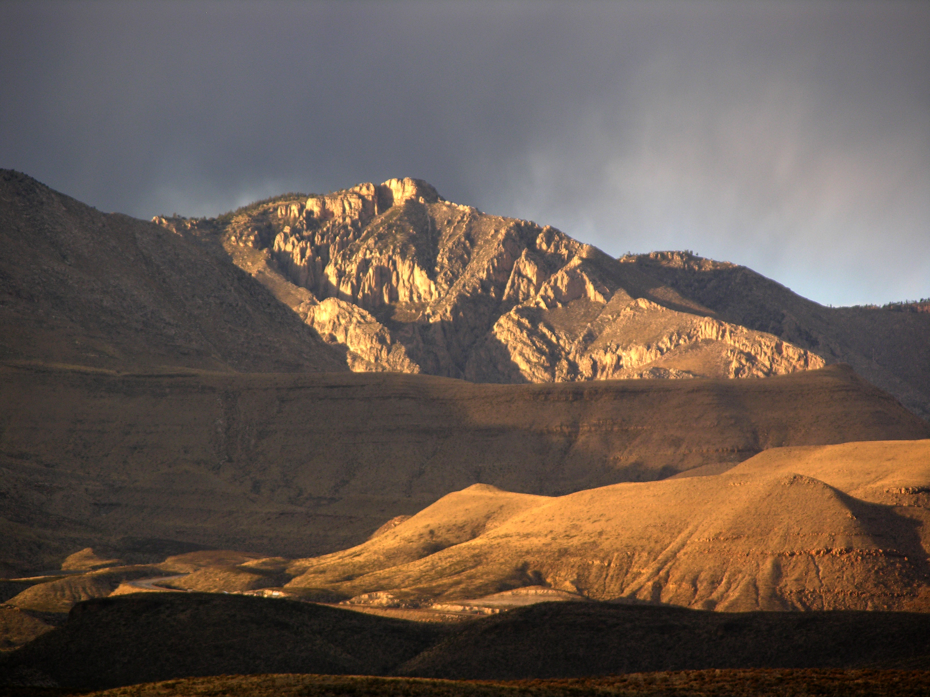
The hike to Hunter Peak is a challenging day hike done as a loop up the Bear Canyon Trail and down the Tejas Trail that provides solitude, stunning views, and opportunities for side trails into the Bowl area.
Distance: 8.7 miles (14.0 km) round-trip, loop
Elevation Change: 2,700 feet
Time Estimate: 6-8 hours
Difficulty: Strenous
Hunter Peak is at an elevation of 8,368 feet above sea level, rising 2,700 feet above Pine Springs. Hunter Peak was named after ranchers J. C. Hunter and J. C. Hunter, Jr., who owned much of the land now included in the park.
The summit of Hunter Peak may have among the best views in the park—half the panorama is of the vast desert to the south, and the remainder is of other mountains and the sheltered pine forest of the Bowl to the north, as well as an unparalleled view across Pine Springs Canyon at Guadalupe Peak.
The hike to the summit involves climbing 2,540 feet, along two trails—either the first 3.6 miles of the Tejas Trail up the side of Pine Spring Canyon, or the Bear Canyon Trail along the next ravine to the east of Hunter Peak. These two routes are linked by the Bowl Trail, from which a short spur leads to the Hunter Peak summit, hence the trip can be done as a loop up one trail and down the other, a total hike of 8.7 miles.
Which Way Up?
While the climb is steep, rangers recommend that hikers ascend Bear Canyon, rather than hike down it. Bear Canyon gains 2,000 feet in just under two miles, while the Tejas Trail takes the twice the distance to climb the same elevation.
Pets Pets disturb wildlife and are not allowed on trails. Your pets should remain at home as opportunities for pets are very limited in the park.
Accessibility Trail surfaces are loose rock or hardened rock surfaces. Hiking or trekking poles are highly recommended. Trail widths vary from two to six feet depending on the trail. Parking All trailhead areas have accessible parking available. Service animals Only service animals that have been individually trained to perform specific tasks for the benefit of persons with disabilities are allowed in the park and on trails.