
Two Ocean Lake Trail
Picnic areas
Along the way Two Ocean Lake Picnic Area
Trailhead Two Ocean Lake Trailhead 6,922 ft Drive there
Emma Matilda Lake 10.7 mi loop · the Park Service's write-up
5-7 Hours · no dogs · Summer, Fall · season The Emma Matilda Lake Trail is accessible after the snow melts in spring but is often marshy and muddy.
Start Two Ocean Lake

Those looking for a longer trail can drop down to Emma Matilda Lake for a 10.7 mile loop. Heading around the lakeshore, hikers will be met with views of the Teton Range. In early to mid-summer, wildflowers populate the area, brightening up the landscape and making for stunning views. Don’t forget the bug spray! Due to the wet, marshy nature of the landscape, Emma Matilda Lake is a popular area for mosquitos.
Accessibility The Emma Matilda Lake Trail is a moderately strenuous, 10.7 mi (17.2 km) loop hike with 1,430 ft (500 m) of elevation gain and an average slope of 5%. Marshy and wet trail surfaces exist due to the proximity to the lake.
Two Ocean Lake the Park Service's write-up
3-5 Hours · no dogs · Summer, Fall · season The Two Ocean Lake Trail is accessible after the snow melts in spring but is often marshy and muddy.
Start Two Ocean Lake
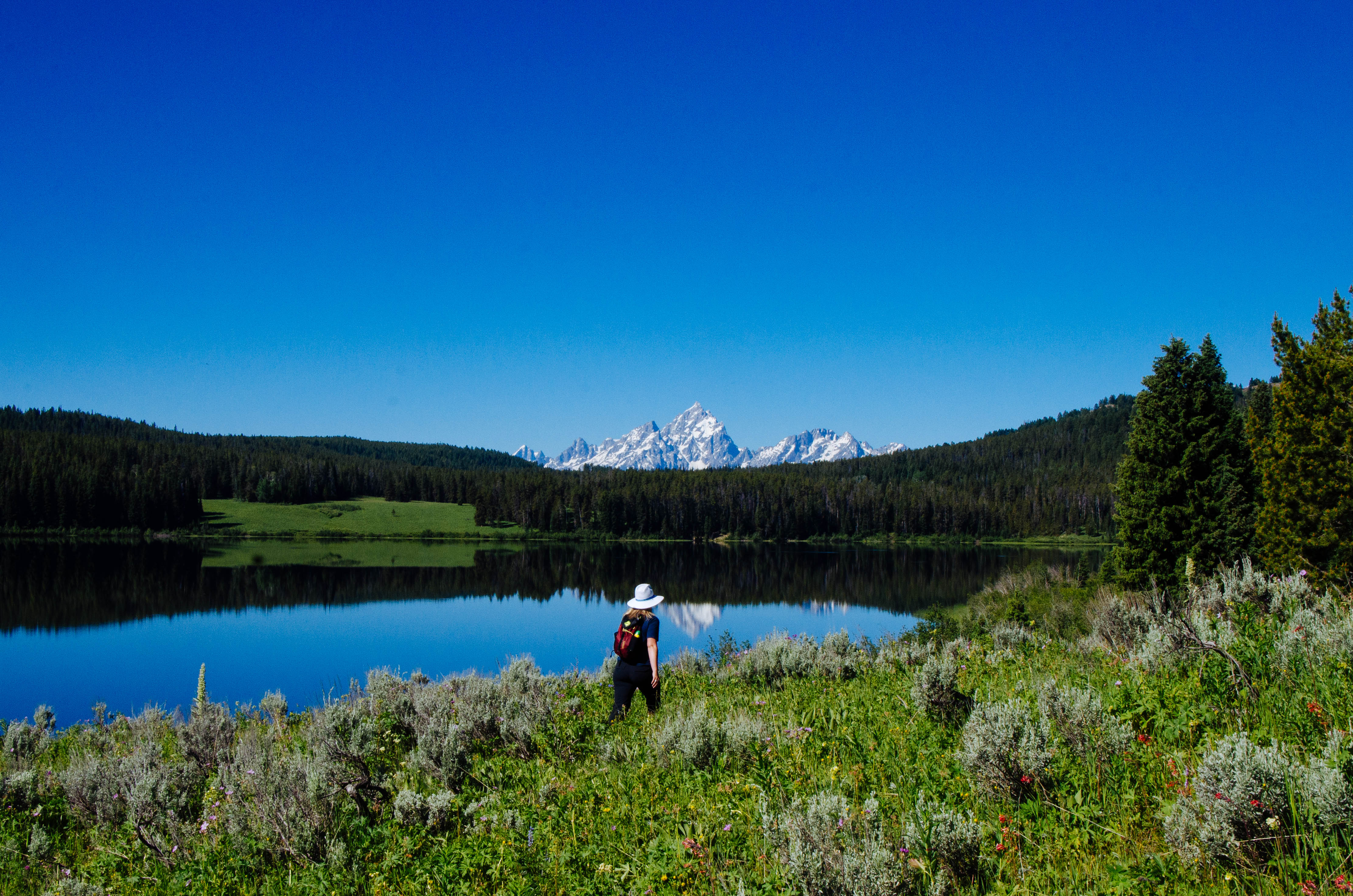
Those looking for a more secluded hike will enjoy looping Two Ocean Lake. Leaving from the Two Ocean Lake Trailhead, hikers can head around the lakeshore for views of the Teton Range. In early to mid-summer, wildflowers populate the area, brightening up the landscape and making for stunning views. Don’t forget the bug spray! Due to the wet, marshy nature of the landscape, Two Ocean Lake is a popular area for mosquitos.
Accessibility The Two Ocean Lake Trail is a moderate, 6.4 mi (10.3 km) loop hike with 700 ft (210 m) of elevation gain and an average slope of 4%. The trail features elevation gain and other obstacles. Many sections of the trail are narrow and pass through dense fields and forests.
Two Ocean Lake - Emma Matilda Lake Loop 13.2 mi loop · the Park Service's write-up
7-9 Hours · no dogs · Summer, Fall · season The Two Ocean Lake-Emma Matilda Lake Loop is accessible after the snow melts in spring but is often marshy and muddy.
Start Two Ocean Lake
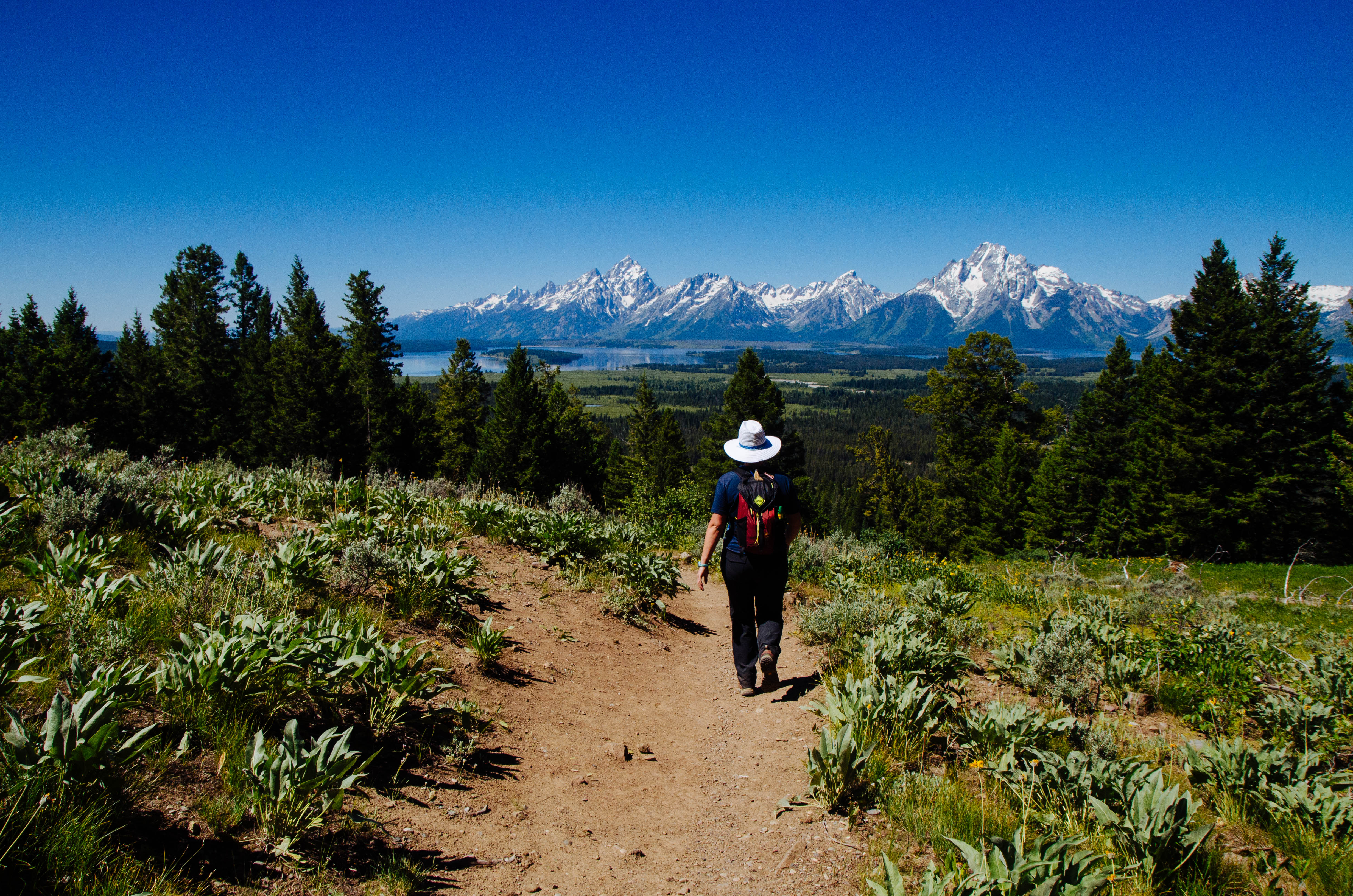
Hikers hoping to view both Two Ocean and Emma Matilda Lakes can make a 13.2 mile loop around them both. Starting from the Two Ocean Lake Trailhead, the trail leads hikers around the north shore of Two Ocean Lake. The trail then crests at Grand View Point, which offers panoramic views of both lakes and Jackson Hole. The trail then goes downhill to Emma Matilda Lake to complete the loop. In early to mid-summer, wildflowers populate the area, brightening up the landscape and making for stunning views. Don’t forget the bug spray! Due to the wet, marshy nature of the landscape, this s a popular area for mosquitos.
Accessibility The Two Ocean Lake-Emma Matilda Lake Loop is a moderately strenuous, 13.2 mi (21.2 km) loop hike with 1,960 ft (600 m) of elevation gain and an average slope of 5%. The trail has various obstacles and a narrow path through dense underbrush.