Grand Teton National Park · Wyoming

Phelps Lake Loop Trail

3.8 mi of trail, end to end · about 150 ft of climbing · 6,633 ft–6,778 ft · earth surface · trail class Minimally Developed · hiking

Backcountry camps

6,778 ft 6,657 ft · 0.9 mi high 6,778 ft

Along the way South District Lakes Phelps Lake South District Lakes Phelps Lake South District Lakes Phelps Lake

Phelps Lake Loop the Park Service's write-up

3-5 Hours · no dogs · Spring, Summer, Fall

Start Laurance S. Rockefeller Preserve
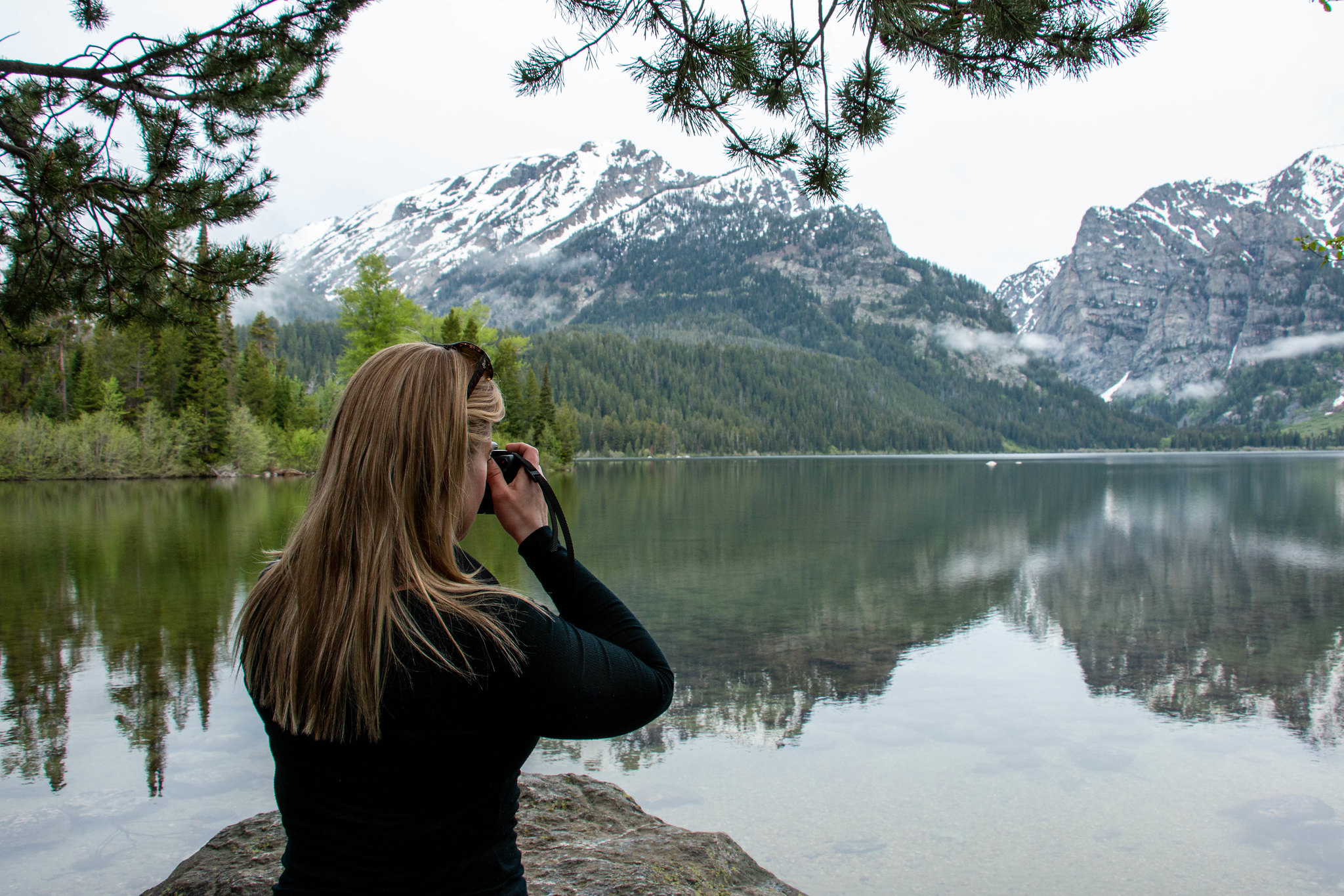
A woman takes a picture beside a lake.
Enjoy the scenery along the Phelps Lake Loop. Photo: NPS Photo/C. Adams

This moderate loop hike provides access to Phelps Lake as well as views into Death Canyon and the southern end of the Teton Range. Start the trail from the Laurance S. Rockefeller Preserve and follow the trail as it loops Phelps Lake. Those looking to extend the hike can add the Aspen Ridge or Boulder Ridge trails on the way to and from the lake.

Accessibility The Phelps Lake Loop Trail is a moderate, 6.4 mi (10.3 km) RT loop hike with 1,060 ft (323 m) of elevation gain with an average slope of 7%. The trail features mild elevation gain, several bridge crossings, and other trail obstacles, such as exposed roots and rocks.

This hike on nps.gov

All 122 trails in Grand Teton National ParkFind a trailOn the parks mapPark on nps.gov

About this trail's facts

The lines are the National Park Service's public trails layer, the trailheads and the waterfalls, views, peaks and historic places along them the Service's public points of interest, read 2026-10-16 and simplified for the map; the length is the line's, end to end. The write-ups are the Service's own "things to do" text, unedited. Heights come from USGS 3DEP through Terrain Tiles on AWS (Mapzen/Tilezen), read along each line and rounded; a short trail on steep ground can be off by a few tens of feet. Closures change: check the park's own site before you go.