
Leigh Lake Trail
Backcountry camps
Along the way South District Lakes Leigh Lake 12B South District Lakes Leigh Lake 12C South District Lakes Leigh Lake Group Site 12A
Trailhead Leigh Lake Trailhead 6,879 ft Drive there
Bearpaw and Trapper Lakes the Park Service's write-up
4-6 Hours · no dogs · Spring, Summer, Fall
Start String Lake
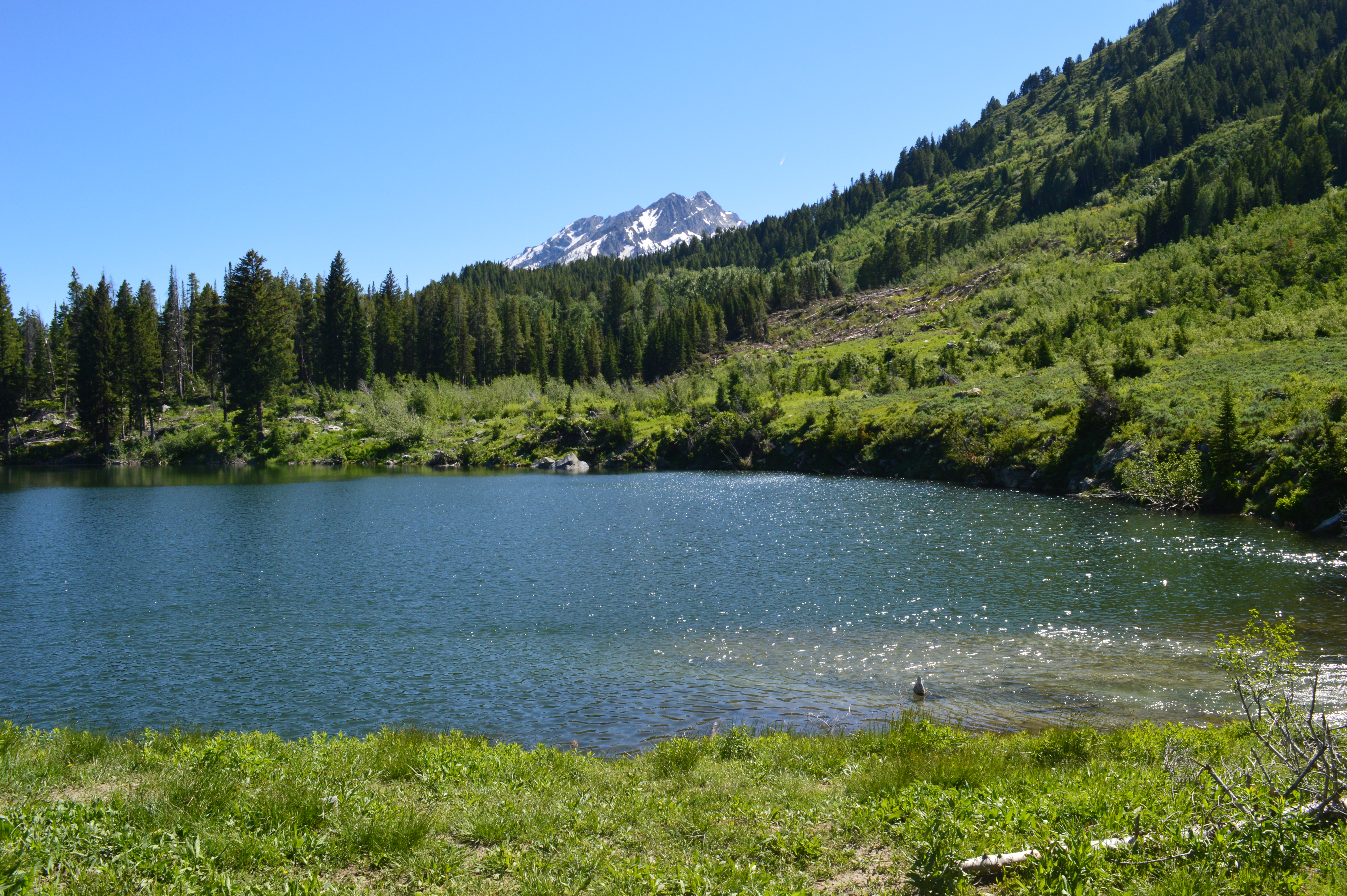
Starting along the eastern shore of String Lake, this trail takes you through the forested shorelines and beyond Leigh Lake to Bearpaw and Trapper Lakes. While the trail is long, there is little elevation change, making it an easy to moderately difficult trail. The trail ends at Trapper Lake, a small lake in an open meadow, and allows for spectacular views of Mount Moran.
Accessibility The Bearpaw and Trapper Lakes Trail is a moderate, 9.2 mi (14.8 km) RT out and back trail with 460 ft (140 m) of elevation gain and an average slope of 4%. While the trail is long, there is little elevation change. Once past the intial 5-6 stairs at the Leigh Lake Trailhead, the trail has numerous small ups and downs and feature obstacbles, such as exposed roots and rocks.
Leigh Lake the Park Service's write-up
1-2 Hours · no dogs · Spring, Summer, Fall
Start String Lake
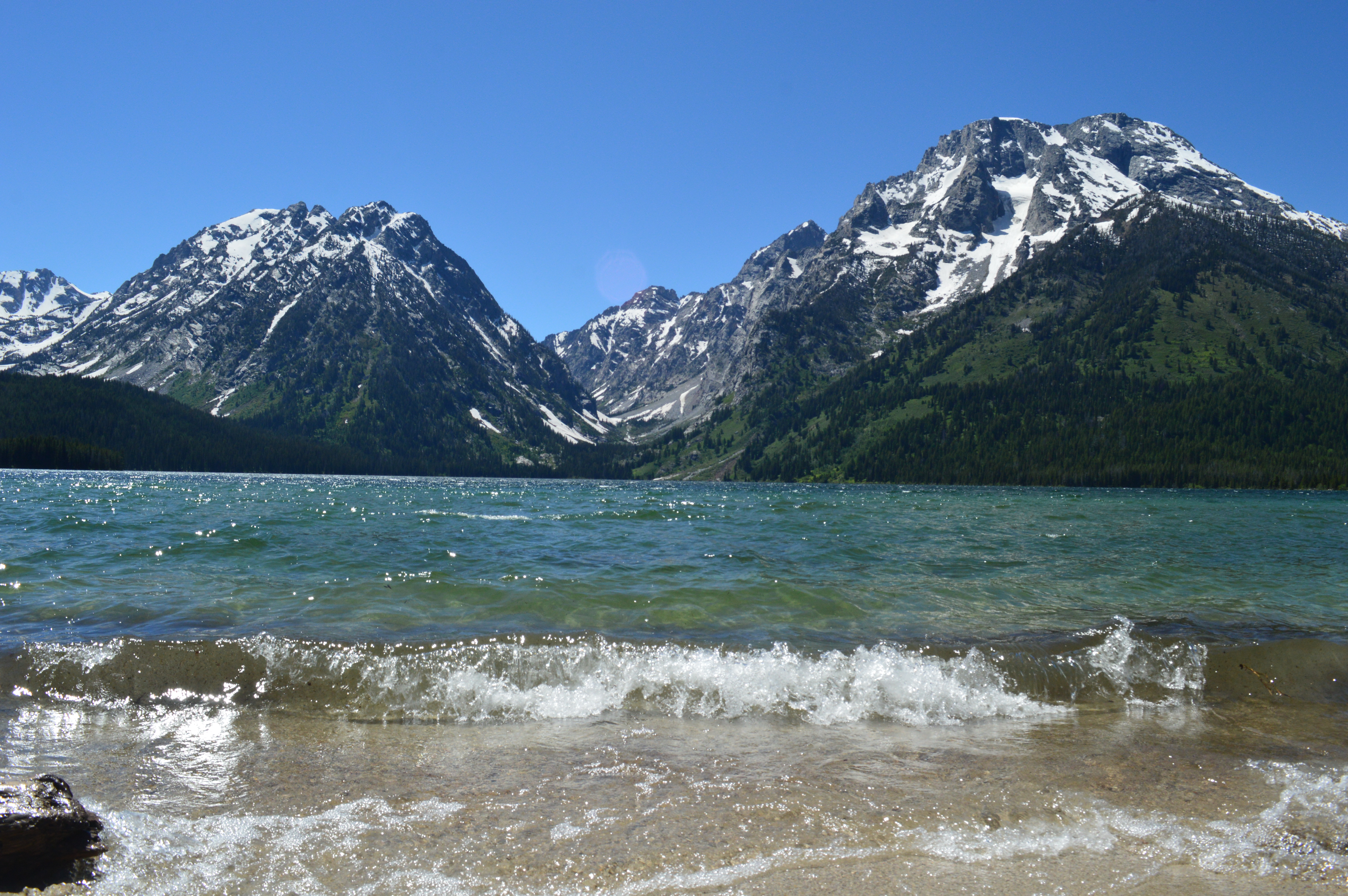
Hiking along the eastern shore of String Lake and beyond brings you to the southern end of Leigh Lake, accessible only by trail or by non-motorized boat. This allows for quieter, less populated lake and mountain views on a relatively flat, easy trail. For a longer hike, head further down the eastern shore of Leigh Lake, providing more beach access and less obstructed views.
Accessibility The Leigh Lake Trail is an easy, 1.8 mi (2.9 km) RT out and back hike with 110 ft (30 m) of elevation gain and an average slope of 5%. 5-6 stairs will take you to the relatively flat Leigh Lake Trail. Roots, branches, and rocks are found along the trail.