
Lake Solitude Trail
Lake Solitude the Park Service's write-up
9-13 Hours · no dogs · Summer, Fall · season Lake Solitude is best accessed in summer after the snow melts and in fall before the first snow arrives. Hikers should use caution when traveling over snow and not attempt Lake Solitude unless they have previous snow experience and the proper equipment.
Start Jenny Lake
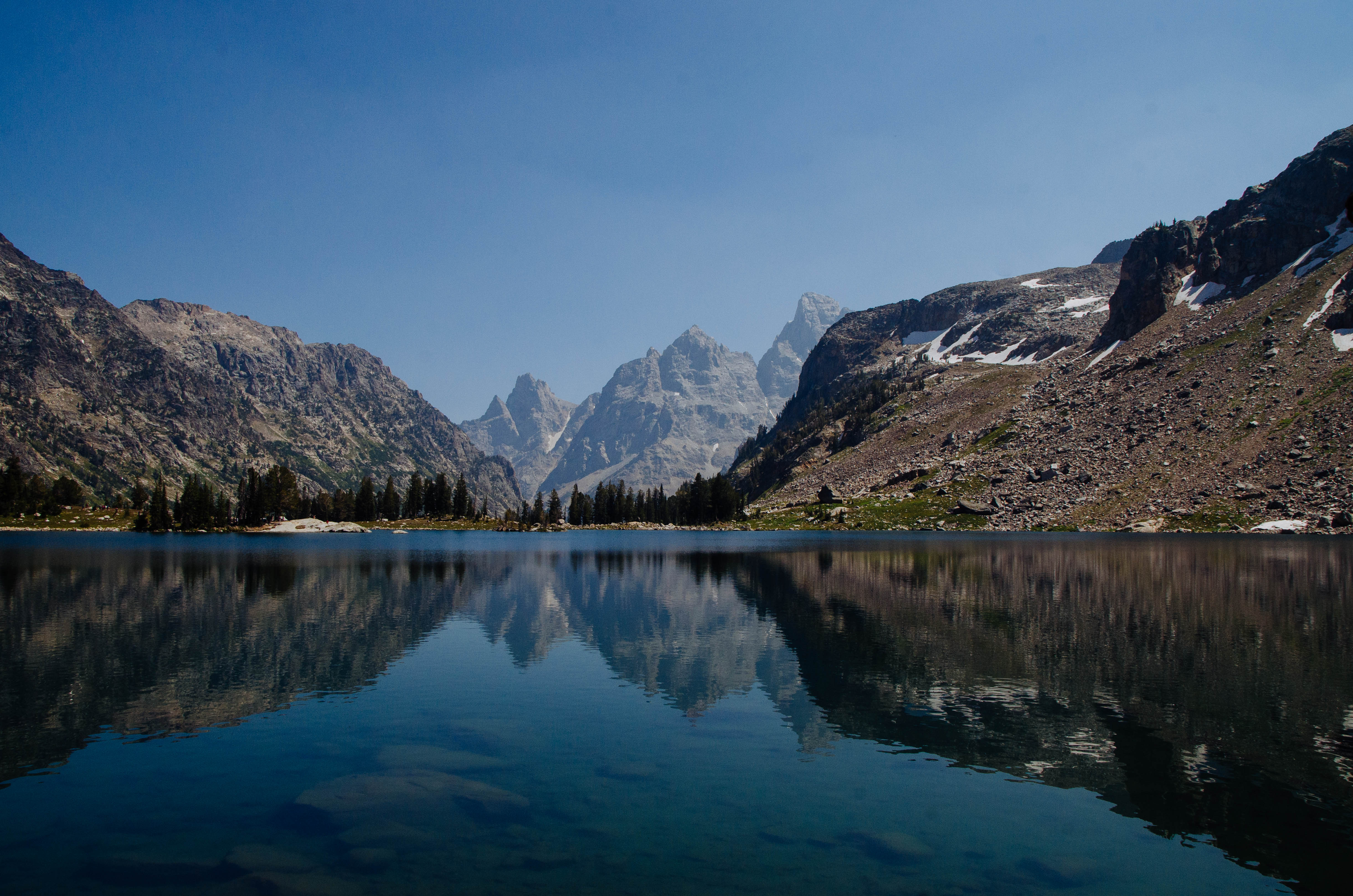
This popular Teton hike offers views of the surrounding peaks, alpine lakes, and ample wildlife viewing opportunities. Starting from the Jenny Lake Trailhead, visitors can hike around the south end of Jenny Lake or take a shuttle boat across for access to Cascade Canyon. Once in the canyon, follow the relatively flat trail to the Forks of Cascade Canyon. At the trail junction, take a right, following the signs for Lake Solitude. Hikers will climb over the next 2.5 miles to arrive at Lake Solitude. From here, hikers may turn around to make this an out and back day hike. The trail does continue from Lake Solitude however, passing over Paintbrush Divide and down Paintbrush Canyon. Those planning to complete the Paintbrush-Cascade Loop should stop by the Jenny Lake Ranger Station to speak with a ranger about conditions on Paintbrush Divide, as the divide often holds snow until mid-July and can be dangerous if attempted without the proper snow equipment.
Accessibility Lake Solitude Via Shuttle Boat Lake Solitude is a strenuous, 14.4 mi (23.2 km) RT out and back hike with 2,670 ft (810 m) of elevation gain with an average slope of 9%. Lake Solitude Via South Jenny Lake Loop Trail Lake Solitude is a very strenuous, 18.3 mi (29.5 km) RT out and back hike with 2,910 ft (890 m) of elevation gain with an average slope of 8%. The trail crosses several bridges. Trail obstacles include steps, exposed roots and rocks, narrow sections, and steep switchbacks.