
Jenny Lake Loop
ViewsBoat launches
Along the way Jenny Lake Boat Launch Jenny Lake Boating Dock Alder Fire Overlook Jenny Lake Overlook
Trailhead Jenny Lake Loop Trailhead 6,797 ft Drive there
Jenny Lake Loop the Park Service's write-up
3-5 Hours · no dogs · Spring, Summer, Fall
Start Jenny Lake
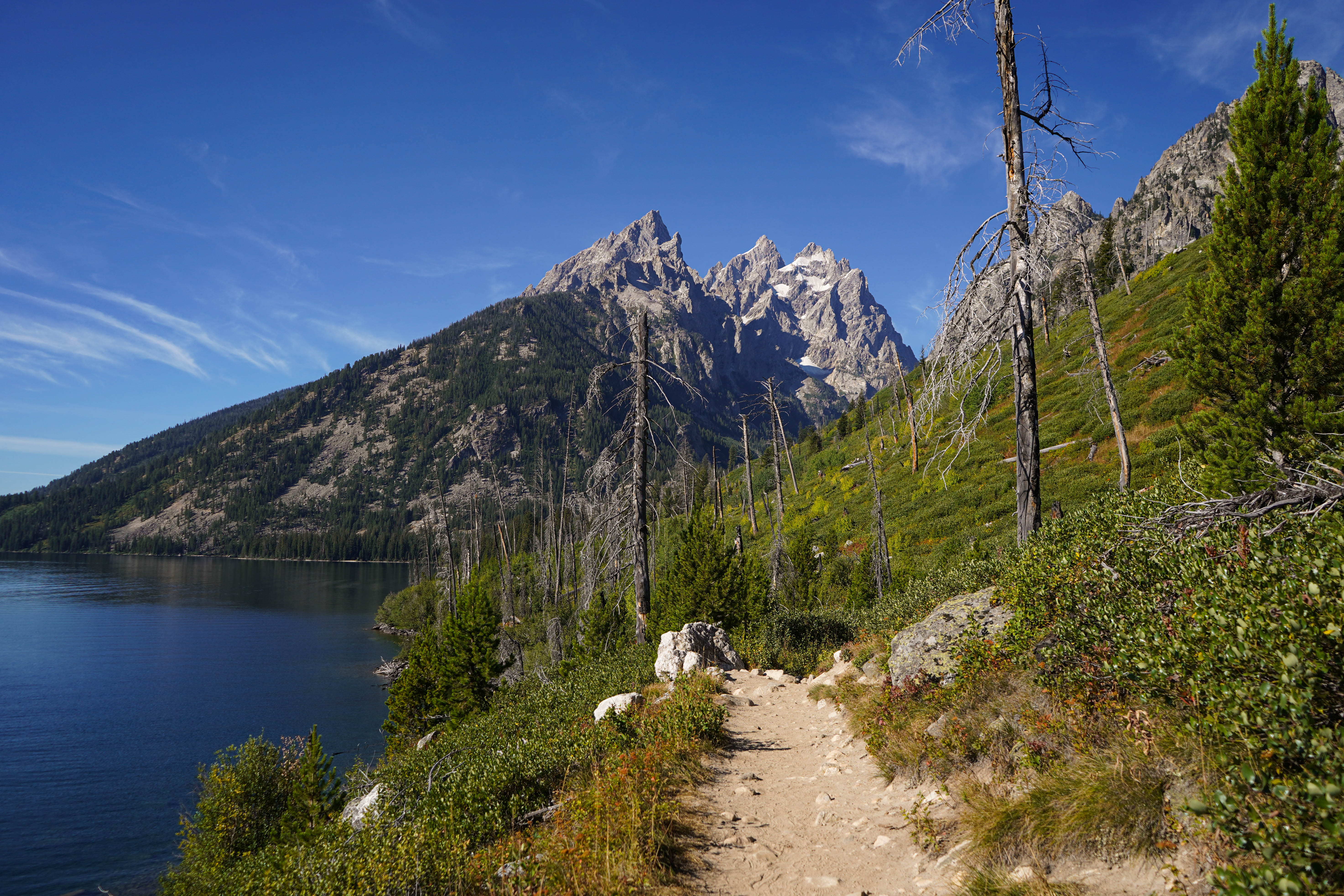
This loop trail provides a plethora of views including Cascade Canyon, the Cathedral Group, and Jenny Lake. From the Jenny Lake Trailhead, follow the trail north, along the east side of the lake, to the south end of String Lake. Cross the bridge to stay around Jenny Lake and spot some incredible views of the Cathedral Group: Mount Owen, the Grand Teton, and Teewinot. Continue south along the west side of Jenny Lake, passing trail junctions for Hidden Falls, Inspiration Point and Cascade Canyon, all of which are great trails that may be added to this hike if wanted. Around the southern shore you will pass Moose Ponds. Here, a short spur trail leading to an overlook where moose and beaver are frequently sighted may be added to the hike if desired. The trail ends back at the Jenny Lake Trailhead, completing the loop. This hike is a great option for visitors who enjoy mountain and lake views and are looking for a longer trail without too much elevation gain.
Accessibility The Jenny Lake Loop is a 7.1 mi (11.4 km) loop hike with 1,040 ft (320 m) of elevation gain with an average slope of 6%. The trail is dirt, narrow in sections, and features obstacles such as roots, exposed rock, and slight elevation change.