
Inspiration Point
Inspiration Point the Park Service's write-up
2-4 Hours · no dogs · Spring, Summer, Fall · season The trail often contains snow throughout spring and can be slick in spots. Use caution when traveling over snow.
Start Jenny Lake
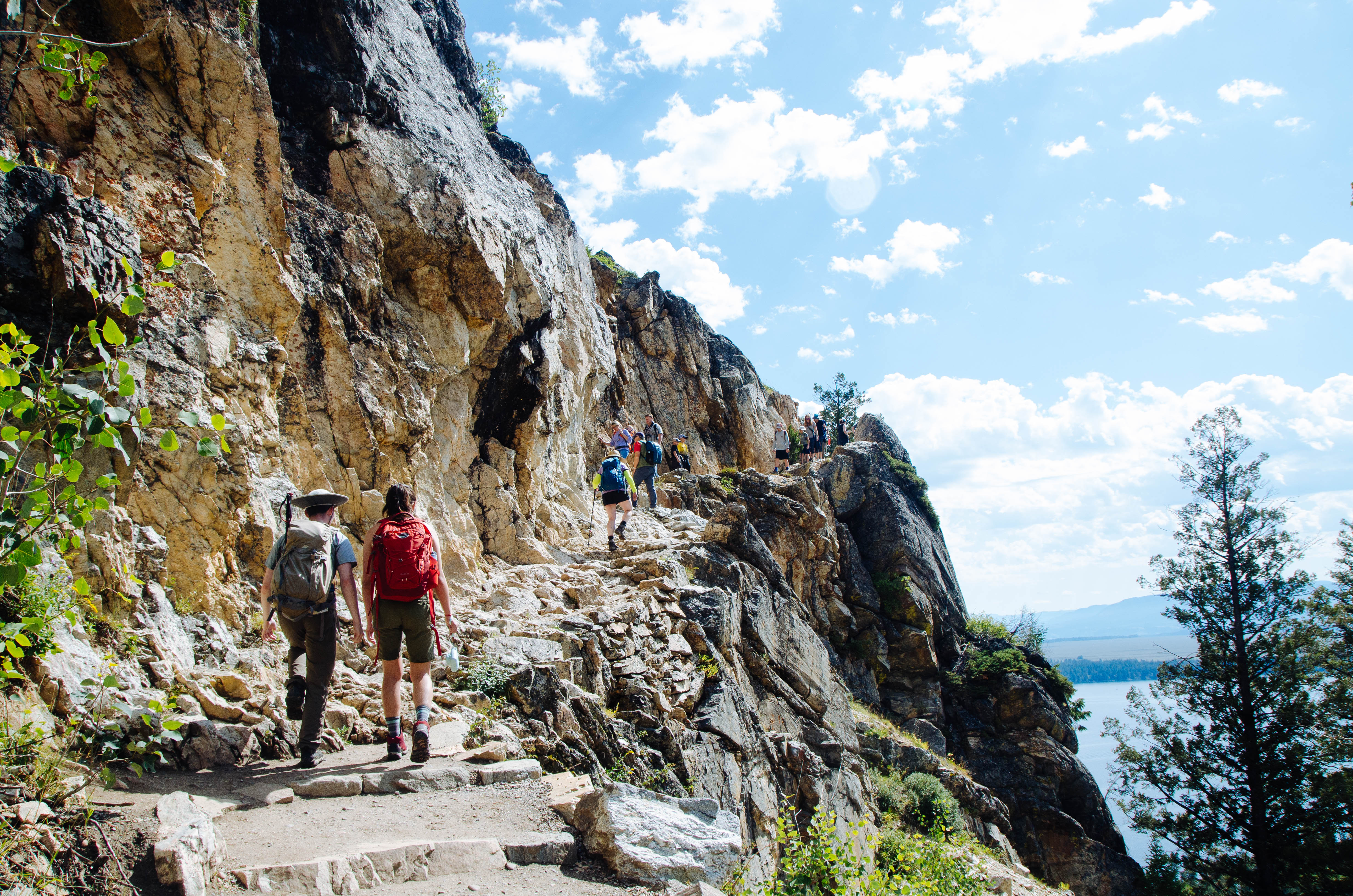
One of the most popular trails within the park, hiking to Hidden Falls and Inspiration Point allows for spectacular views of Jenny Lake, a 100 ft cascading waterfall, and the Jackson Hole Valley. Visitors may choose to walk around the southern lakeshore or utilize the privately-run shuttle boat to cross the lake and shorten the hike. (If you are planning on using the shuttle, be sure to check their hours and prices . Tickets are purchased directly at the boat dock.) Once on the west side, the trail gently slopes up 200 ft in elevation towards Hidden Falls, a 100 ft tall cascade fed by snowmelt. Visitors wishing to hike further can continue up the trail another 0.5 mile to Inspiration Point, which provides a view above Jenny Lake and out into the Jackson Hole Valley, as well as a view of Cascade Canyon and the Cathedral Group: Mount Owen, Teewinot, and the Grand Teton.
Accessibility Inspiration Point Via Shuttle Boat Inspiration Point is an easy, 1.8 mi (2.9 km) RT out and back hike with 550 ft (170 m) of elevation gain with an average slope of 16%. Inspiration Poin Via South Jenny Lake Loop Trail Inspiration Point is a moderate, 5.7 mi (9.2 km) RT out and back hike with 870 ft (270 m) of elevation gain with an average slope of 10%. The trail is dirt with several sections of rock stairs and exposed roots. The trail crosses exposed rock and features several steep switchbacks.