
Holly Lake Trail
Backcountry camps
Along the way South District Group Sites Holly Lake Group Site
Holly Lake the Park Service's write-up
7-9 Hours · no dogs · Summer, Fall · season Holly Lake is best accessed in summer after the snow melts and in fall before the first snow arrives. Hikers should use caution when traveling over snow and not attempt Holly Lake unless they have previous snow experience and the proper equipment.
Start String Lake
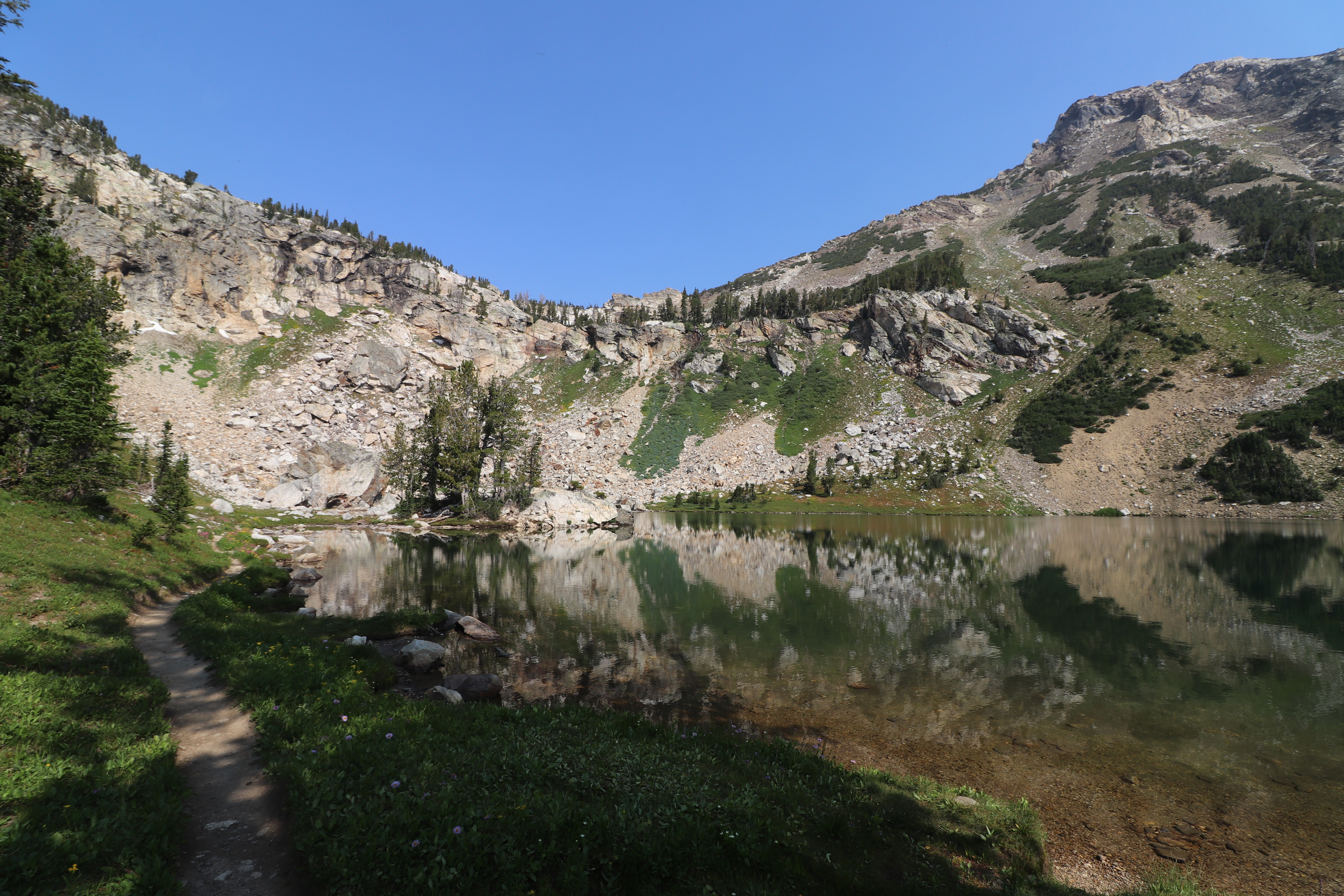
Head into Paintbrush Canyon for a strenuous 13 mile hike to Holly Lake. Starting at the String Lake Trailhead, cross the bridge over the String Lake outlet, and continue along the western side of the lake. Follow Paintbrush Canyon up until you reach the Holly Lake junction. From there, it’s another half mile to the lake. This hike offers panoramic views of Paintbrush Canyon and Leigh and Jackson Lakes below.
Accessibility Holly Lake is a strenuous, 12.8 mi (20.5 km) RT out and back hike with 2,840 ft (870 m) of elevation gain and an average slope of 11%. The trail includes significant elevation gain and obstacles such as exposed roots and rocks, bridge crossings, and steep, narrow sections.