
Garnet Canyon Trail
Garnet Canyon the Park Service's write-up
4-6 Hours · no dogs · Summer, Fall · season Garnet Canyon is best accessed in summer after the snow melts and in fall before the first snow arrives. Hikers should use caution when traveling over snow and not attempt Garnet Canyon unless they have previous snow experience and the proper equipment.
Start Lupine Meadows Trailhead
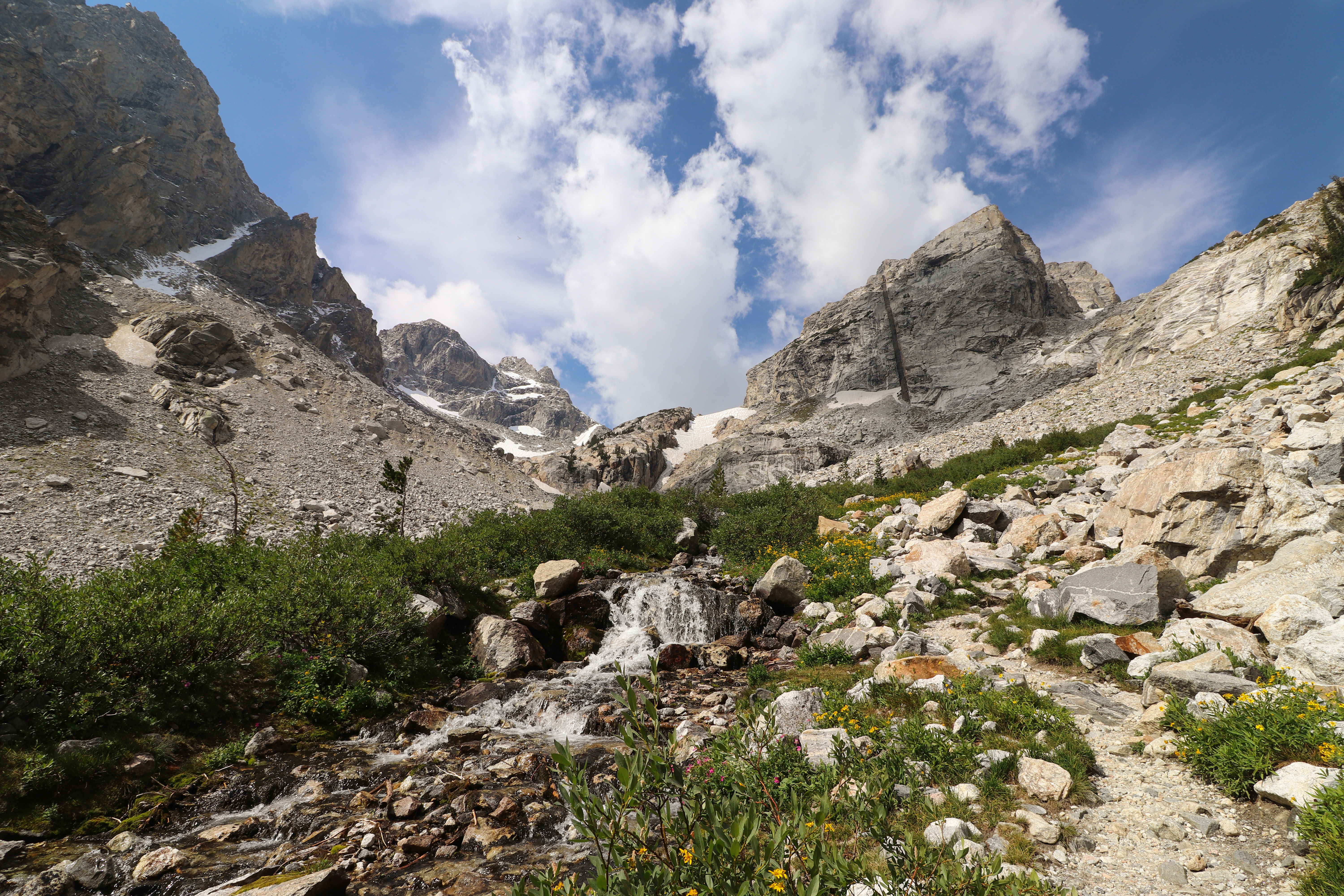
Travel into the heart of the Teton range on this strenuous hike. Leaving from the Lupine Meadows Trailhead, the trail switchbacks up to Three-Mile Junction where it splits. The trail to the left leads to Garnet Canyon. About a mile into the canyon the trail reaches a boulder field. Scrambling is required to cross the boulder field. Visitors should be physically fit and comfortable with route finding before attempting to cross it. Once in the canyon, hikers will find themselves surrounded by some of the more prominent peaks in the range: Nez Perce, South and Middle Teton, the Grand Teton, and Disappointment Peak. Hikers should exercise caution when taking the Garnet Canyon Trail, as boulder field crossings and significant elevation gain can be hazardous. If planning to travel into Garnet Canyon, stop by the Jenny Lake Ranger Station to speak with a backcountry ranger about conditions.
Accessibility Garnet Canyon is a strenuous, 8.2 mi (13.2 km) RT out and back hike with 2,430 ft (740m) of elevation gain and an average slope of 13%. The trail crosses multiple boulder fields that require boulder hopping and wayfinding skills. Steep switchbacks and narrow hiking surfaces exist.