
Alaska Basin Trail
Static Peak Divide Trail the Park Service's write-up
9-11 Hours · no dogs · Summer, Fall · season Static Peak Divide is best accessed in summer after the snow melts and in fall before the first snow arrives. Hikers should use caution when traveling over snow and not attempt Static Peak Divide unless they have previous snow experience and the proper equipment.
Start Death Canyon Trailhead
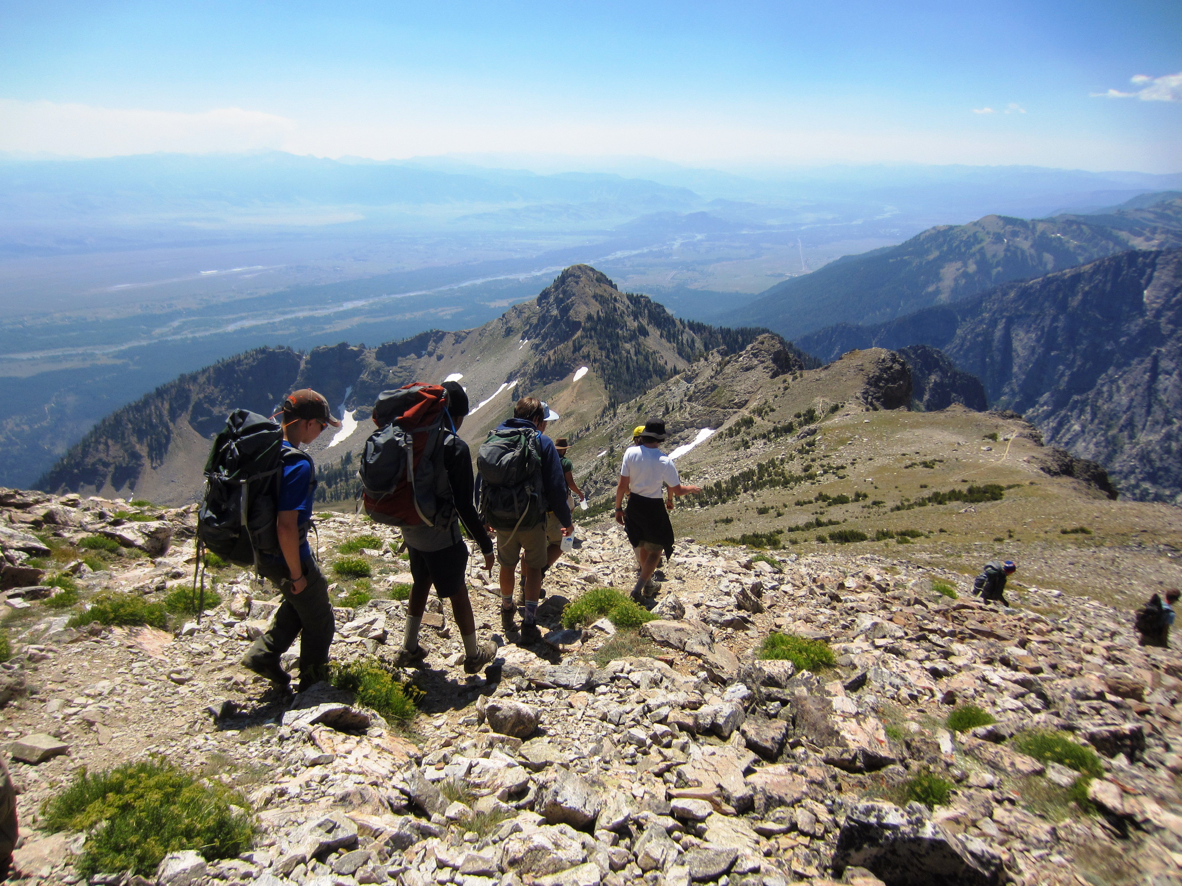
Static Peak Divide is a very strenuous hike that takes a full day to complete. After heading into Death Canyon, take the split to Static Peak Divide. The trail switchbacks up the side of the canyon, gaining significant elevation over the next few miles. This can be hazardous for those not acclimated to high altitude. The best cure for altitude sickness is to retreat to a lower elevation. Once at the divide, hikers will have stunning views of the Teton Range and Alaska Basin. Static Peak Divide often holds snow until July. Those planning to hike the divide should stop by the Craig Thomas Discovery and Visitor Center or the Jenny Lake Ranger Station before attempting the hike. Ice axes and crampons – along with the knowledge of how to use them – may be necessary until mid-summer.
Accessibility Static Peak Divide is a very strenuous, 16 mi (25.7 km) RT out and back hike with 5,590 ft (1,700 m) of elevation gain and an average slope of 15%. The trail is often narrow and steep, with exposed roots and sections crossing rock faces.