
Trillium Gap Trail
WaterfallsViewsGapsLodgesBridges
Along the way Roaring Fork Motor Nature Trail Bridge #1 Trillium Gap LeConte Lodge Baskins Creek Overlook Falls Branch Overlook LeConte Lodge Overlook Grotto Falls
Trailheads Baskins Creek Trail Trailhead 2,738 ft Drive there · Old Sugarlands Trail Trailhead 2,569 ft Drive there · Trillium Gap Trail Trailhead 3,162 ft Drive there
Hike to Grotto Falls 2.6 mi round trip · the Park Service's write-up
no dogs · entrance fee applies
Start Expect crowds and full parking at Trillium Gap Trailhead for Grotto Falls—consider a shuttle
Overview
Expect extreme crowding and limited parking—consider a shuttle or alternate hikes listed below
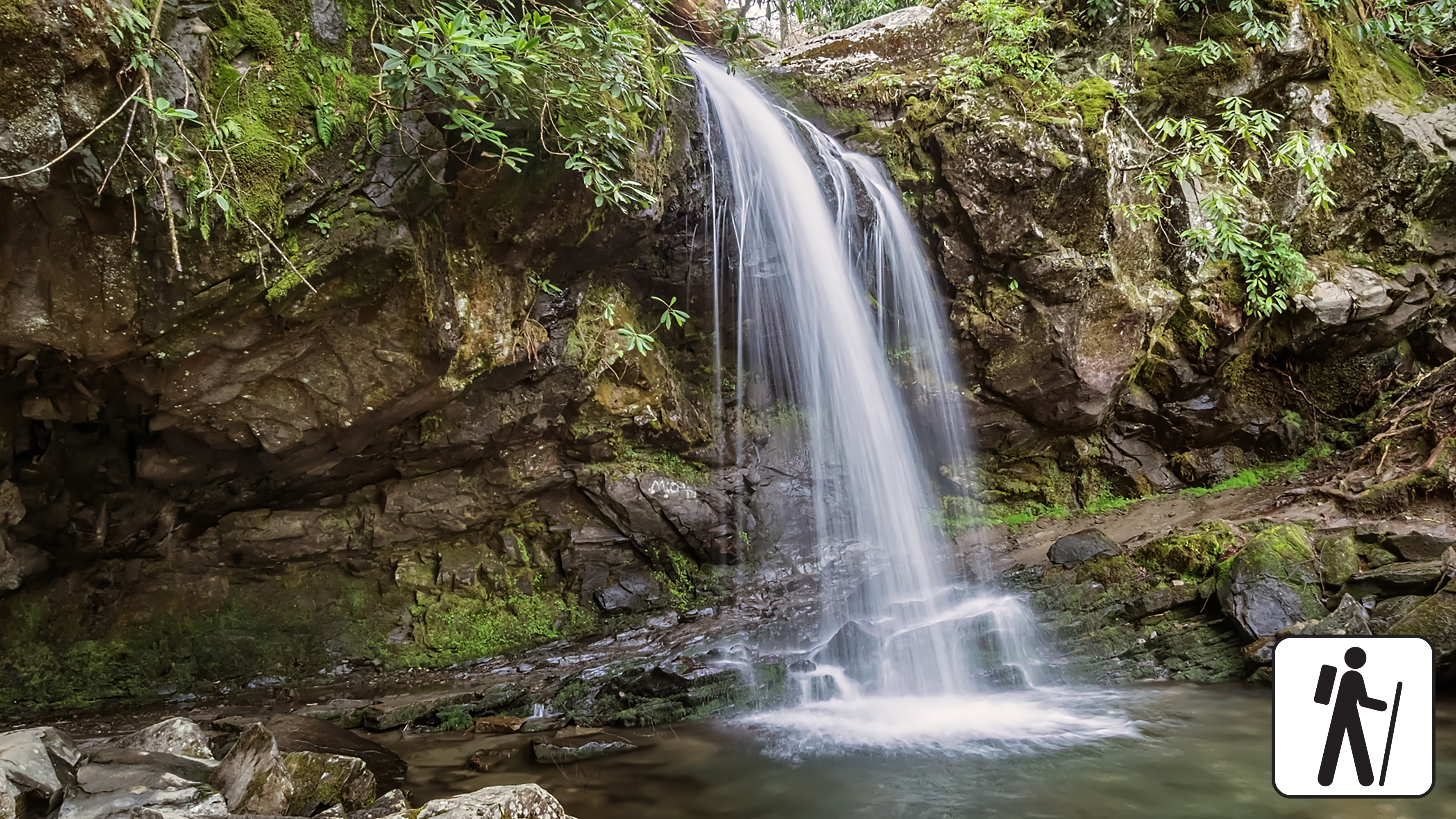
Hike 2.6 miles (4.2 km) roundtrip on Trillium Gap Trail as it crosses multiple streams in Great Smoky Mountains National Park and meanders through sections of old-growth forest and rhododendron to reach a cool mountain cove with mossy boulders and a unique waterfall you can walk behind.
The trail to Grotto Falls is well-traveled, especially in summer, but rainfall and high water can make for muddy and slippery conditions.
Length
4 miles (6.4 km) roundtrip
Parking & Trailhead
Please consider a shuttle or park at Trillium Gap Trailhead on the one-way Roaring Fork Motor Nature Trail (road closed in winter). Don't forget your parking tag .
Nearest Restroom
Pit toilets at Rainbow Falls Trailhead (plan to stop for restrooms before entering the one-way loop to the trailhead)
Alternate Hikes
Baskins Creek Falls: roughly 3 miles (4.8 km) roundtrip
Extension on Trillium Gap via Rainbow Falls parking area: see a map for varying lengths
Pets The Gatlinburg Trail and Oconaluftee River Trail are the only two park trails where pets are permitted. Pets are also allowed in picnic areas, in campgrounds, and on roads.
Accessibility Trail has occasional roots, rocks, and inclines.
Hike to Mount Le Conte on Trillium Gap Trail 13 mi round trip · the Park Service's write-up
no dogs · entrance fee applies
Start Expect crowds and full parking at Trillium Gap Trailhead—consider a shuttle
Overview
Expect extreme crowding and limited parking—consider a shuttle and alternate hikes listed below
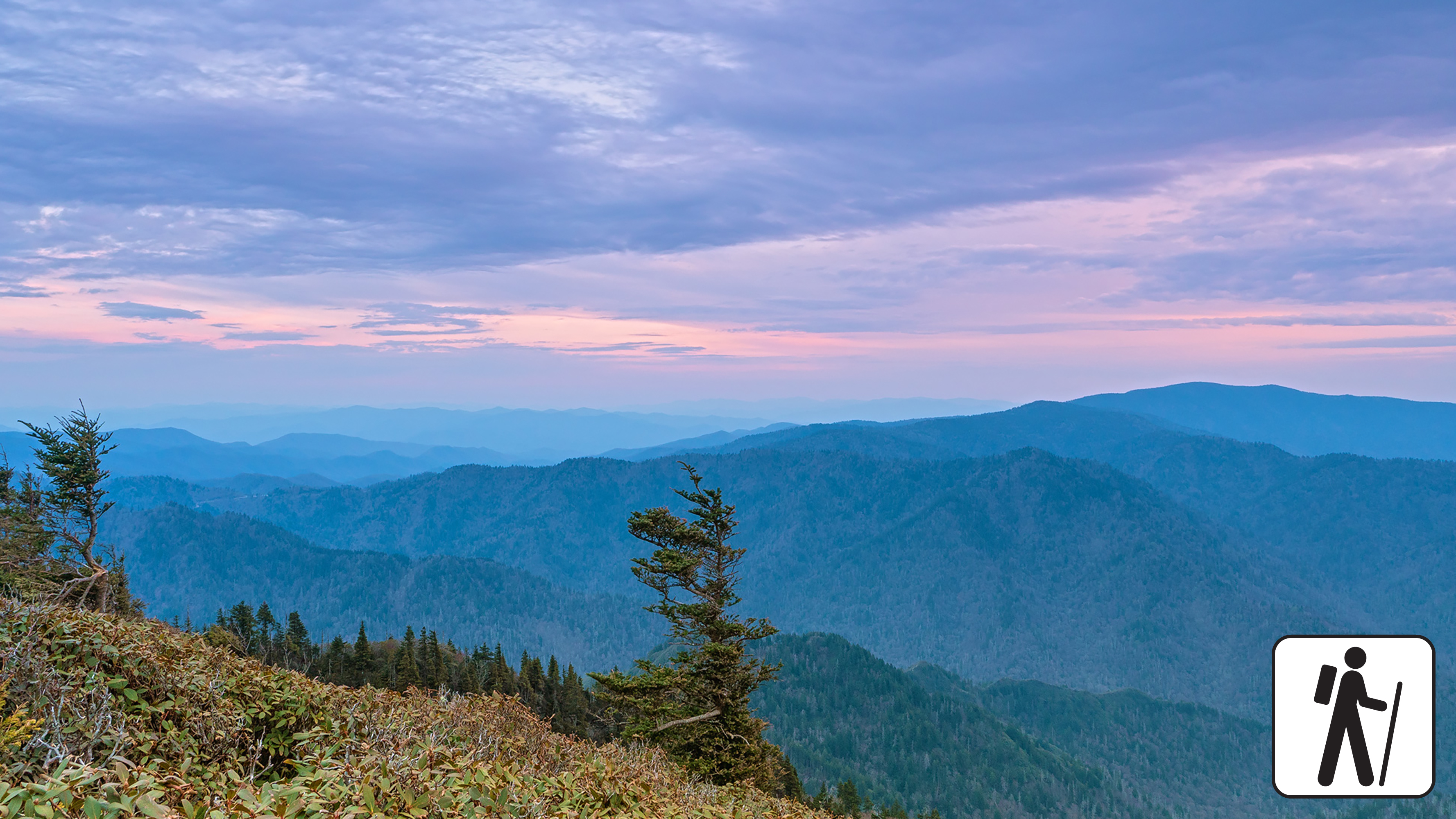
One of five routes to Mount Le Conte in Great Smoky Mountains National Park , Trillium Gap Trail rewards hikers with mountain views, diverse forest, and a waterfall. The 25-foot (7.6-m) tall Grotto Falls greets visitors approximately 1.5 miles (2.4 m) into the journey before the trail steadily ascends. Spring wildflowers also draw many visitors to this trail. The roundtrip distance is 13 miles (20.9 km) if hikers go out and back on Trillium Gap Trail. Consult a map to combine with other trails and create a loop (mileages will vary).
At nearly 3 miles (4.8 km), turn right at the junction with Brushy Mountain Trail to continue to Mount LeConte. Near the summit, the best views are at Cliff Top and Myrtle Point, both marked with signs.
In cold weather, prepare for ice on the trail and potential falling icicles. Microspikes (chains or small spikes to slip on shoes for better traction) recommended in winter.
Length
13 miles (20.9 km) roundtrip
Parking & Trailhead
Please consider a shuttle or park at Trillium Gap Trailhead on one-way Roaring Fork Motor Nature Trail. Don't forget your parking tag .
Nearest Restroom
Rainbow Falls Trailhead before entering one-way Roaring Fork Motor Nature Trail
Alternate Hikes
Grotto Falls : 2.6 miles (4.2 km) roundtrip
Appalachian Trail & Boulevard Trail to Mount Le Conte : 16.2 miles (26.1 km) roundtrip
Bullhead Trail to Mount Le Conte : 13.6 miles (21.9 km) roundtrip
Rainbow Falls Trail to Mount Le Conte : 13 miles (20.9 km) roundtrip
Alum Cave Trail to Mount Le Conte : 10 miles (16.1 km) roundtrip
Pets The Gatlinburg Trail and Oconaluftee River Trail are the only two park trails where pets are permitted. Pets are also allowed in picnic areas, in campgrounds, and on roads.
Accessibility Trail is steep, rocky, and includes stairs and bridges.