
Old Sugarlands Trail
Bridges
Along the way West Prong Bridge at Headquarters
Trailheads Old Sugarlands Trail Trailhead 2,569 ft Drive there · Old Sugarlands Trail Trailhead 1,461 ft Drive there
Walk Sugarlands Valley Nature Trail 0.5 mi round trip · the Park Service's write-up
no dogs · entrance fee applies
Overview
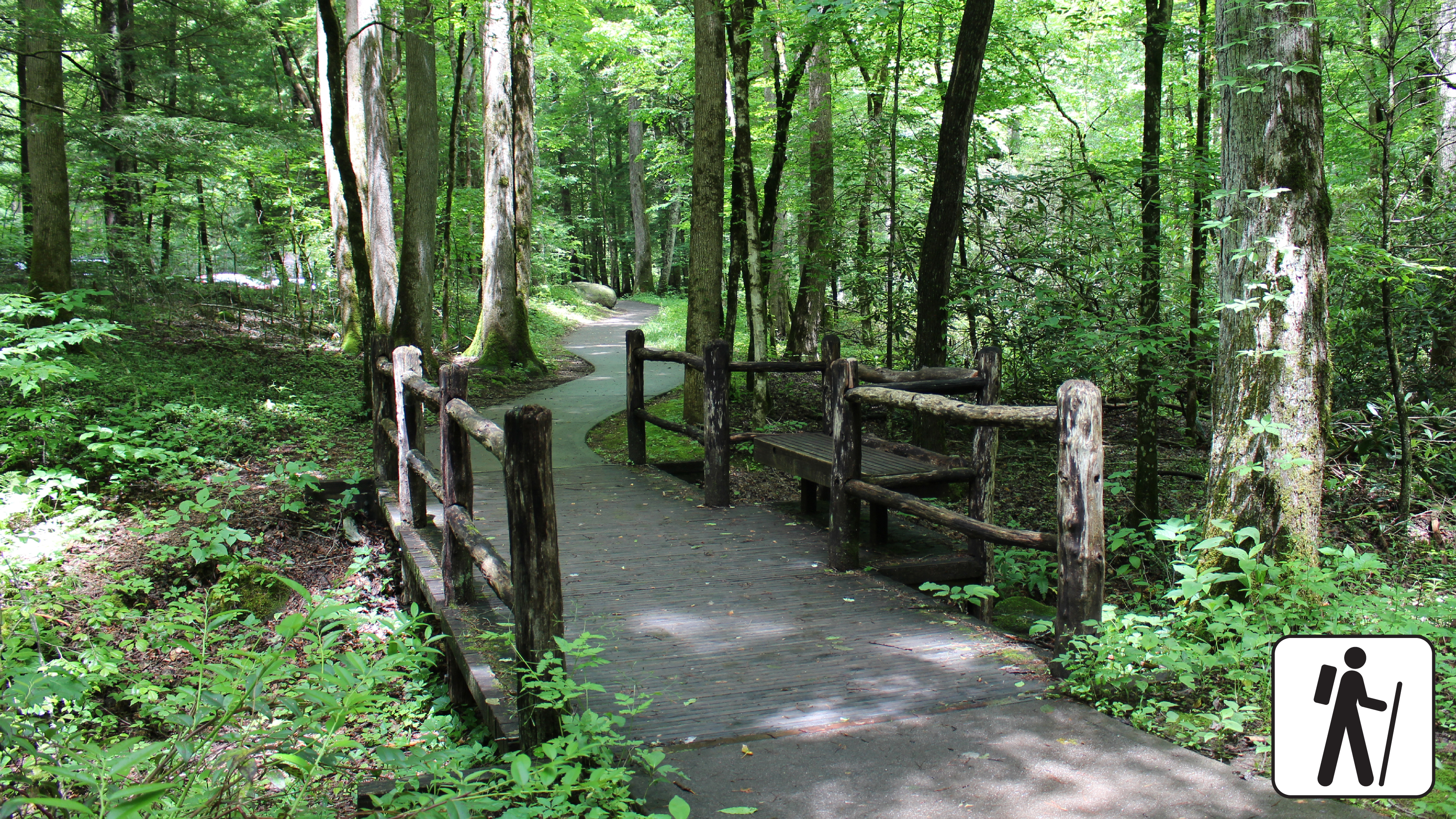
Wander through a cove hardwood forest with streamside views, rock walls, and historic stone chimneys on this half-mile (0.8 km) loop along a paved, flat trail in Great Smoky Mountains National Park .
Length
0.5 miles (0.8 km) roundtrip
Parking & Trailhead
Sugarlands Valley Nature Trailhead is adjacent to a small parking area with several accessible spaces along Newfound Gap Rd (US 411) near Sugarlands Visitor Center. Don't forget your parking tag .
Nearest Restroom
Sugarlands Visitor Center
Alternate Hikes
John Oliver Trail : 0.3 miles (0.5 km) roundtrip
Gatlinburg Trail : ~4 miles (6.4 km) roundtrip
Cataract Falls Trail
Pets The Gatlinburg Trail and Oconaluftee River Trail are the two park trails where pets are permitted. Pets are also allowed in picnic areas, in campgrounds, and on roads.
Accessibility This trail has been assessed using the High-Efficiency Trail Assessment Process (HETAP) to provide objective information such as grade and slope. GRIT Freedom Chairs are available for free checkout on a first-come, first-served basis for trail. This trail is fully paved and flat. Use descriptions, maps, and photos to determine which hikes are suitable for you. For information about the reservation process and other trail segments where GRIT Freedom Chairs can be used, visit the trail accessibility page.