
Mosca Pass Trail
Trailhead Mosca Pass Trailhead 8,174 ft Drive there
Hike Montville Nature Trail or Mosca Pass Trail the Park Service's write-up
30-240 Minutes · dogs allowed · season Montville Trail is generally accessible year round, but there may be small snowdrifts in winter months. Mosca Pass Trail is generally not accessible for hiking in winter and early spring due to deep snow; snowshoes or backcountry skis may be needed on the upper parts of the trail from November through April.<br /> <br />
Start Montville and Mosca Pass Trailhead
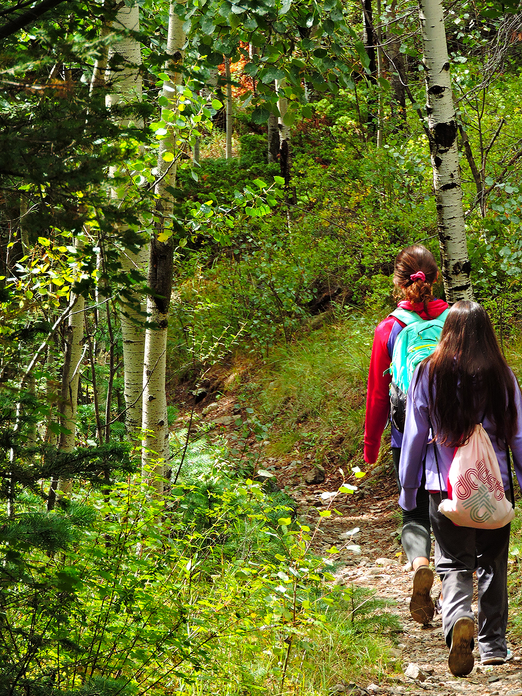
Just above the dunefield are montane woodlands of pinon and ponderosa pine, subalpine aspen and conifer forests, alpine lakes and rugged mountains over 13,000 feet (4,000 m) in elevation. The easiest hiking access to forest in the national park is on the Montville Nature Trail and Mosca Pass Trail.
Watch a short video showing Mosca Pass Trail in the fall season on the Great Sand Dunes YouTube Channel.
Montville Nature Trail
This is the easiest, most popular forest hike in the park. In summer, keep this hike as an option for afternoon as an escape from the heat of the dunes. Walk along a shady forested trail named for a late 1800s settlement, comprising 20 houses in its heydey. Rest near the trail's highpoint, where you'll find views of Mt. Herard, the dunes and the valley. A booklet available at the trailhead provides numbered stops to learn about this historic community and the mountain pass above it.
Round Trip Hike: 0.5 mile (1 km)
Elevation Gain: 200 feet (60 m)
Average Time: 30 minutes
Mosca Pass Trail
This trail continues past Montville Nature Trail, following a small creek to the summit of a low pass in the Sangre de Cristo mountains. Though views are limited, it has shady aspen and evergreen forests. Indigenous tribes and early settlers used this route for travel into the valley.
Round Trip Hike: 7 miles (11 km)
Elevation Gain: 1400 feet (427 m)
Average Time: 3.5 hours
Accessibility Montville Trail and Mosca Pass Trail are not wheelchair-accessible. There are rocks and uneven areas on the trail.