
Lower Sand Creek Trail
Hike Sand Creek Lakes 2.5 mi each way · the Park Service's write-up
10-15 Hours · dogs allowed · Summer, Fall · season The area is open year round, but unless you have snowshoes and avalanche gear, plan to access the lakes only in summer or fall. In an average snow year, there are still some snowdrifts on the trail through June. Mid-summer is the prettiest time of year to visit the lakes, when flowers are blooming, grass is green, and snowfields still lace the mountains.
Start Lower Sand Creek Lake
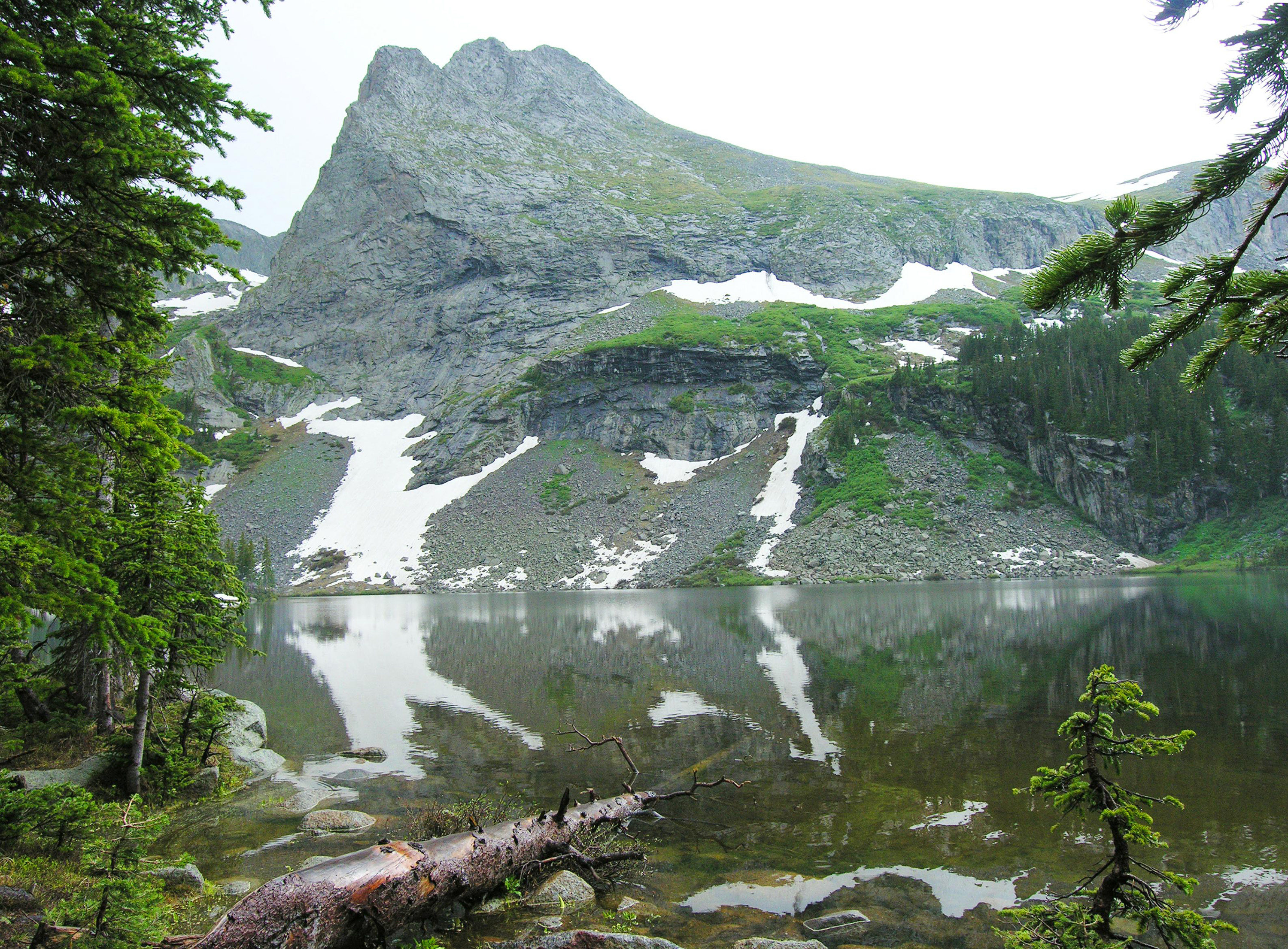
Sand Creek Lakes are part of the alpine watershed of Great Sand Dunes National Preserve. A longer drive and hike is required to reach these lakes, but the mountain scenery is worth the effort. Check with a ranger for conditions before travel. Snow may block these trails from November into June.
Music Pass Trailhead is accessed from Highway 69 on the east side of the Sangre de Cristo Mountains, 4.5 miles south of Westcliffe. Turn off Highway 69 to the west at the sign for Music Pass and South Colony Lakes Trailhead. At the "T" junction, turn left onto South Colony Road. At the end of the ranch fence on the right, you'll see another sign for Music Pass.
2WD vehicles should park where the Rainbow Trail crosses Music Pass Road. This lower trailhead will add 2.5 miles (4 km) each way to the hike..
4WD vehicles may continue another 2.5 miles to Music Pass Trailhead at the end of the road. From here, it is a steep 1 mile (1.6 km) hike to the pass at treeline, with a great view of Upper Sand Creek basin. From the pass, hike farther to the alpine lakes, or to any one of the 13,000' peaks above the basin.
Round Trip Hiking Mileages From Music Pass Trailhead
Lower Sand Creek Lake: 8 miles (12.8 km), 2000 feet (610 m) elevation gain
Upper Sand Creek Lake: 9 miles (14.4 km), 2000 feet (610 m) elevation gain
Accessibility High clearance 4WD vehicles can make it to Music Pass Trailhead. After that point, the trail is steep and rocky, unsuitable for wheelchairs.