
Upper Strawberry Trail
Hike the Upper Strawberry Trail the Park Service's write-up
2-4 Hours · no dogs · Spring, Summer, Fall
Start Strawberry Creek Trailhead
Trail Overview
Total Distance: 4.0 miles / 6.4 kilometers
Starting elevation: 7,920 feet / 2,414 meters
Elevation Gain: 1,280 feet / 390 meters
Difficulty: Moderate/Strenuous
Time: 2 hours - 4 hours
Begin at : Strawberry Creek Trailhead
Matching the Sage Steppe Loop for it's beginning and end, the Upper Strawberry Loop travels up from the meadows of the loop to the saddle between Bald Mountain and the peaks to the north. The spring fed and snowmelt fed creek runs down parallel to the trail, and a number of natural stream crossings are required to ascend. Most of the elevation gain occurs after the loop and especially on the last half of the upper section.
Strawberry Creek is a prime area for Bonneville Cutthroat Trout restoration, although hampered by the 2016 Strawberry Fire. The fire raged through the canyon burning more than 4,700 acres. Restoration and monitoring efforts continue to this day, allowing this canyon and its flora and fauna to thrive as the years continue.
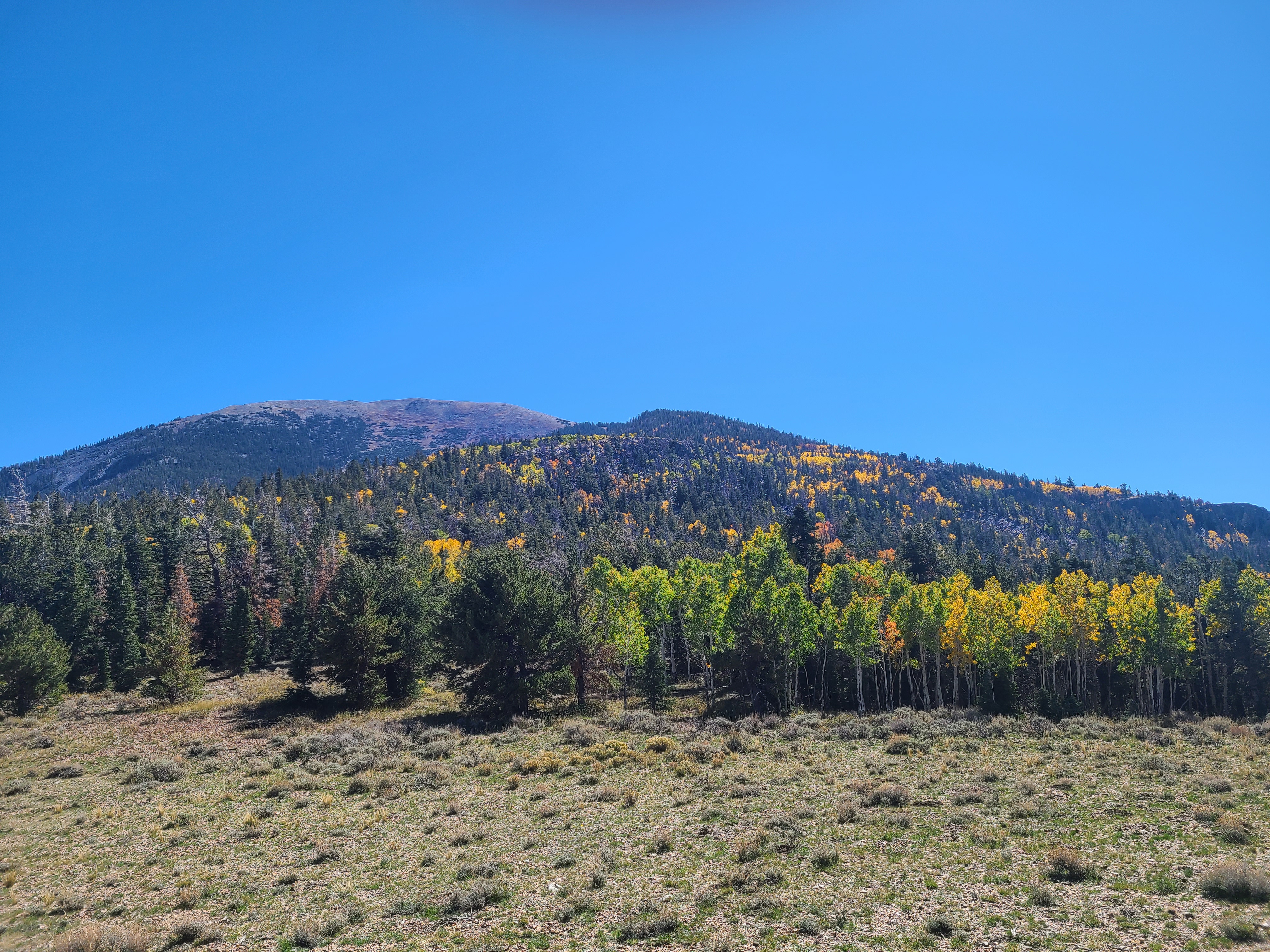
Spring, summer, and fall are all excellent times to explore this area. Wildflowers bloom seemingly endlessly through the meadows in spring, summer offers an opportunity to get above the heat and near water, fall brings spectacular fall foliage and colors as the aspens change. The riparian habitat here ensures many creatures thrive, with elk a common sight - especially during the fall rut.
There are wooden foot bridges along this trail, allowing for dry crossings of Strawberry Creek as you travel the south side of the Sage Steppe Loop.
This hike starts at the Strawberry Creek Trailhead at the end of Strawberry Creek Road. Stop to park at the trailhead at the road's end. Parking outside of designated spaces or along the road is prohibited.
No pets permitted on park trails. Trained service animals allowed. Learn more about service animal regulations at this link.
Water
Potable water is not available along Strawberry Creek Road. Pack sufficient water with you, about one gallon per person per day.
Restrooms
The nearest restrooms are pit toilets with no running water 1.5 miles before the trailhead.
Accessibility This trail is not accessible.