
Snake Divide Trail
Hike the Snake Divide Route 13.4 mi round trip · the Park Service's write-up
7-12 Hours · no dogs · Summer
Start Snake Creek Trailhead
Trail Overview
Total Distance: 13.4 miles / 21.6 kilometers
Starting elevation: 8,200 feet / 2,500 meters
Elevation Gain: 3,418 feet / 1,041 meters
Difficulty: Moderate
Time: 7 hours - 12 hours
Begin at : Snake Creek Trailhead
The out and back hike along the Snake Divide route is 13.4 miles round trip through rough terrain, gaining more than 3,000 feet. Following the well defined Shoshone trail, the Snake Divide trail branches and goes west, following the ridge formed by multiple 10,000+ foot peaks. The trail is often only marked by flagging and the occassional rock cairn, so having a GPS, map & compass, and the skills to use them is paramount if you want to remain on track. Do not remove/knock over rock cairns or create your own - they are vital wayfinding tools in the wilderness.
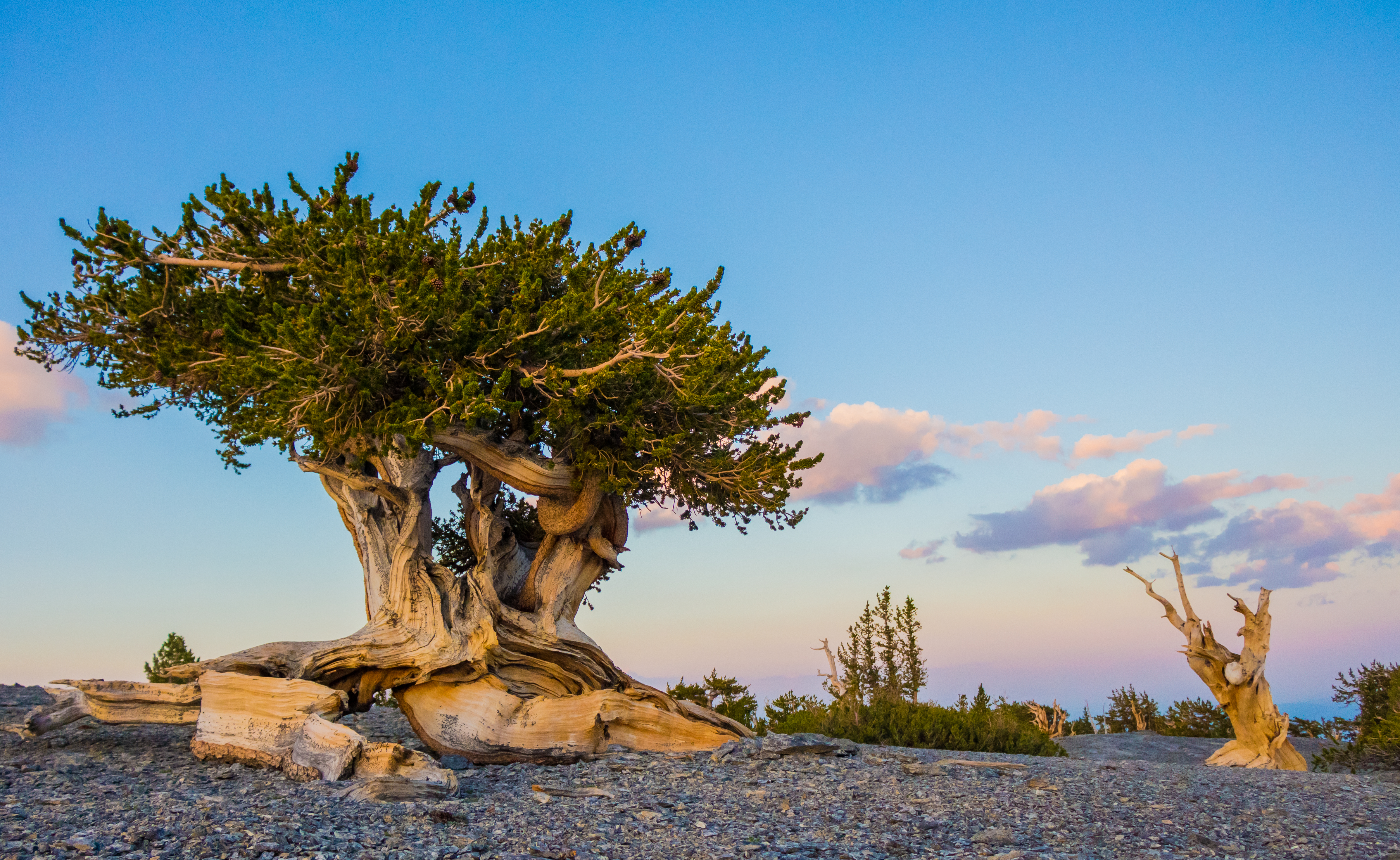
This route leads to two bristlecone groves located deep in the backcountry of Great Basin National Park. The Magic Grove below the rocky Mt Washington, and then above Mt Washington is the aptly named Mt Washington Grove. In these groves, be prepared to see the isolated bristlecone pines standing apart from each other and other species of tree. Some trees in these groves have stood for thousands of years, so please treat them with the respect and reverence they've earned. Collecting or burning of downed bristlecone wood is strictly prohibited , as even remnants of these trees are useful for scientific study and dendrochronology. Some downed trees and limbs could be thousands of years older than even the oldest living bristlecones, so please exercise caution.
If your only aim is to reach the Magic Grove bristlecones, a round trip distance of 12.0 miles is to be expected. If you want to summit Mt Washington, prepare for the full 13.4 miles.
This hike starts at the Snake Creek Trailhead on Snake Creek Road. Stop to park at the trailhead at the road's end. Parking outside of designated spaces or along the road is prohibited.
No pets permitted on park trails. Trained service animals allowed. Learn more about service animal regulations at this link.
Water
Potable water is not available along Snake Creek Road. Pack sufficient water with you, about one gallon per person per day.
Restrooms
The nearest restrooms are pit toilets with no running water at the Snake Creek Trailhead.
Accessibility This is not an accessible route as it gains 3,000 feet over six miles on a dirt and rock route. Not recommended for those unsteady on their feet.