
Serviceberry Loop Trail
Hike the Serviceberry Trail the Park Service's write-up
90-150 Minutes · no dogs · Spring, Summer, Fall · season Snake Creek Road closes in winter and may remain closed well into the spring depending on road conditions and snowpack. Check the website or with a ranger for current closures.
Start Serviceberry Trailhead
Trail Overview
Distance: 3.2 miles / 5.2 kilometers
Starting elevation: 8,030 feet / 2,448 meters
Elevation Gain: 657 feet / 200 meters
Difficulty: Moderate
Time: 90 minutes - 150 minutes
Begin at : Serviceberry Trailhead
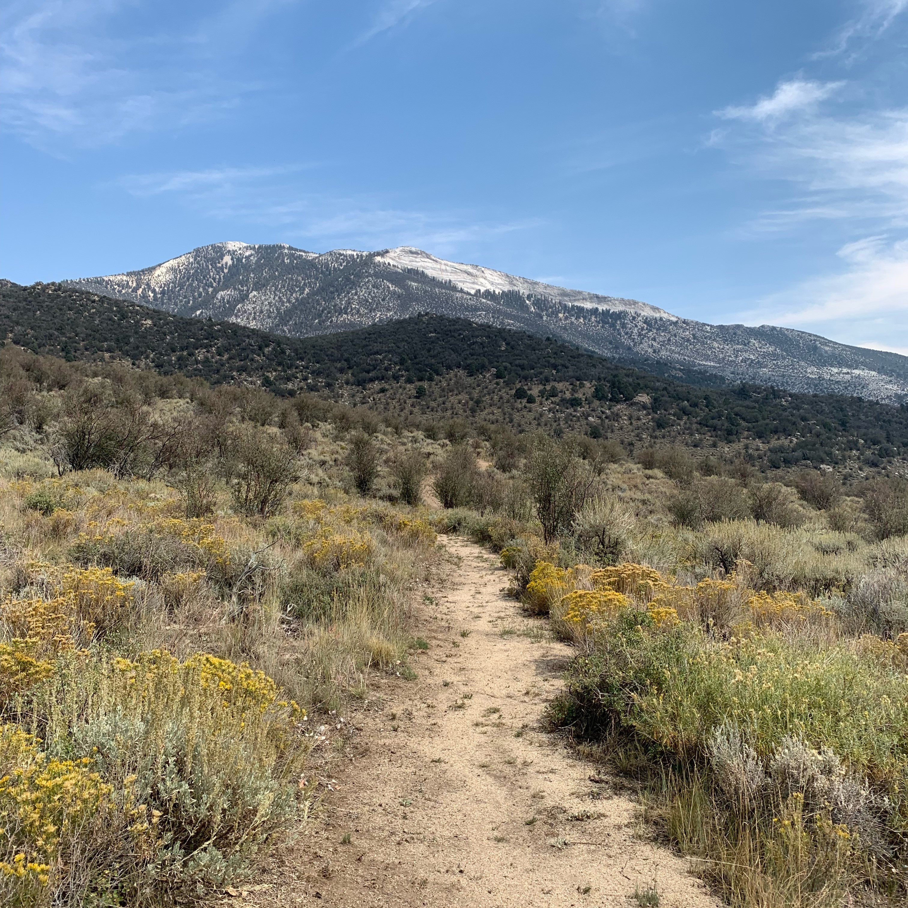
The 3.2 mile Serviceberry Loop is a wonderful loop trail through serviceberry, rabbitbrush, and sagebrush, giving plentiful views of unique Great Basin geology. This moderate trail is a great introduction to the Snake Creek area and its unique offerings. This loop offers views of Eagle Peak, Granite Peak, and intrusion geology of the Snake Creek area within Great Basin National Park.
This hike starts at the Serviceberry Trailhead on Snake Creek Road. Stop to park at the trailhead 1/3 of a mile short of the road's end, or if parking is limited, park at the small lot at the end of the road and walk the 1/3 of a mile to the trailhead. Parking outside of designated spaces or along the road is prohibited.
No pets permitted on park trails. Trained service animals allowed. Learn more about service animal regulations at this link.
Water
Potable water is not available along Snake Creek Road. Pack sufficient water with you, about one gallon per person per day.
Restrooms
The nearest restrooms are pit toilets with no running water at the Snake Creek Trailhead, 1/3 of a mile beyond the Serviceberry Trailhead
Accessibility This hike is not accessible due to rocky terrain.