
Pole Canyon Trail
Picnic areas
Along the way Pole Canyon Picnic Area
Hike Pole Canyon 6.6 mi round trip · the Park Service's write-up
3-6 Hours · no dogs
Start Pole Canyon Trailhead
Trail Overview
Total Distance: 6.6 miles / 10.6 kilometers
Starting elevation: 6,880 feet / 2,097 meters
Elevation Gain: 1,600 feet / 488 meters
Difficulty: Moderate
Time: 3 hours - 6 hours
Begin at : Pole Canyon Trailhead
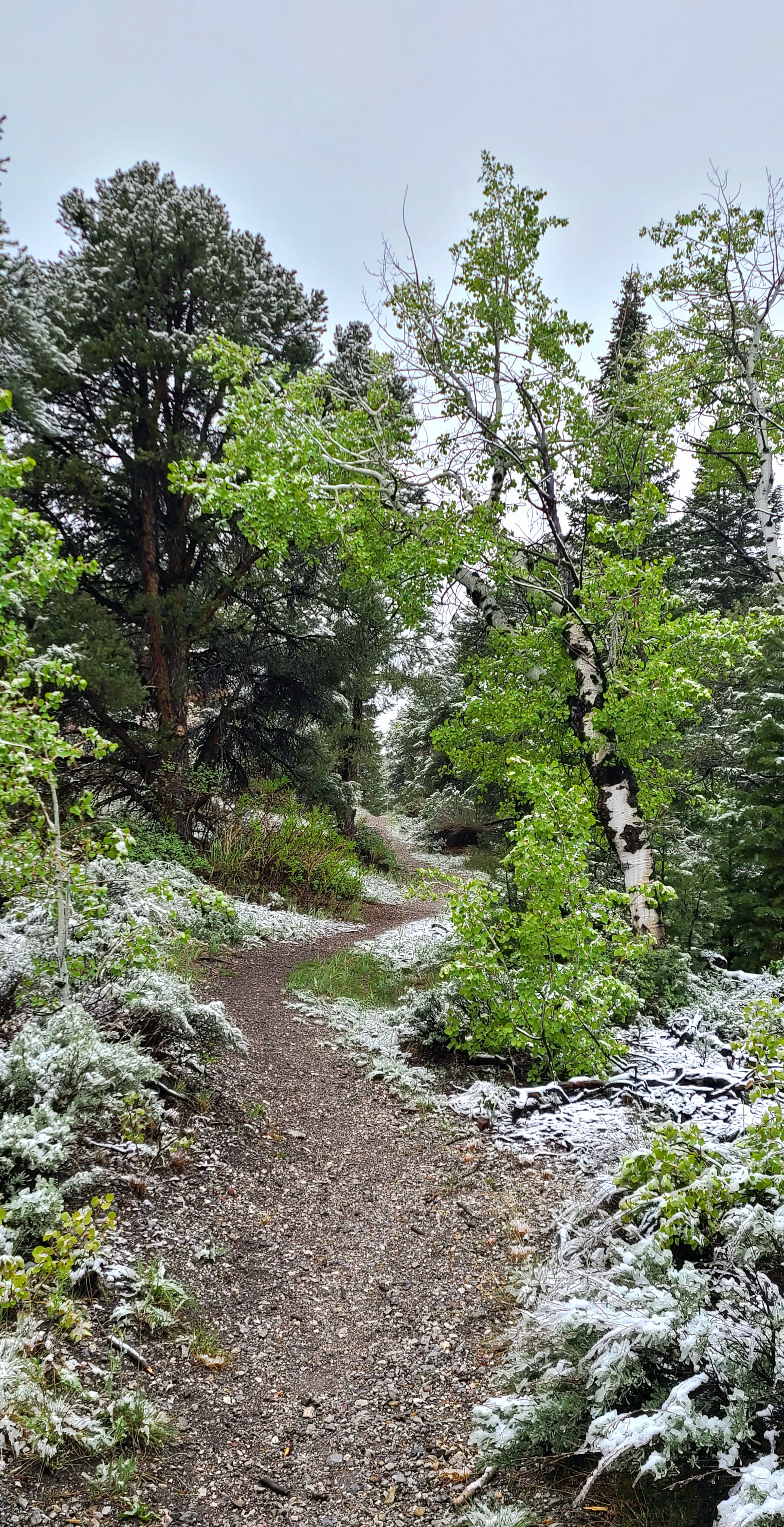
Pole Canyon wanders through meadow and forested area leading to a mountain pass. Mixed conifers, stream crossings, spectacular views of Baker Peak means this trail has it all. Located along Baker Creek road, Pole Canyon is easily accessible year round, though sometimes requiring a short snowshoe from the Baker Creek pit toilet to the trailhead.
This hike starts at the Pole Canyon Trailhead off of Baker Creek Road. Make the turn off 1.5 miles down the road towards Grey Cliffs Campground, then stay left at the first split. Down this road several hundred feet is the Pole Canyon Picnic Area and Trailhead. Parking outside of designated spaces or along the road is prohibited.
No pets permitted on park trails. Trained service animals allowed. Learn more about service animal regulations at this link.
Water
Potable water is not available along Baker Creek Road. Pack sufficient water with you, about one gallon per person per day. Water is available year-round at the nearby Lehman Caves Visitor Center or seasonally at the dump station.
Restrooms
The nearest restrooms are pit toilets with no running water at the Pole Canyon Trailhead.
Accessibility This hike is not accessible due to rocky terrain.