
Lexington Arch Trail
Arches
Along the way Lexington Arch
Hike to Lexington Arch 5.6 mi round trip · the Park Service's write-up
2-4 Hours · dogs allowed
Start Lexington Arch Trailhead
Trail Overview
Distance: 5.6 miles / 9.0 kilometers
Starting elevation: 7,050 feet / 2,149 meters
Elevation Gain: 1,220 feet / 372 meters
Difficulty: Moderate
Time: 3 hours - 5 hours
Begin at : Lexington Arch Trailhead
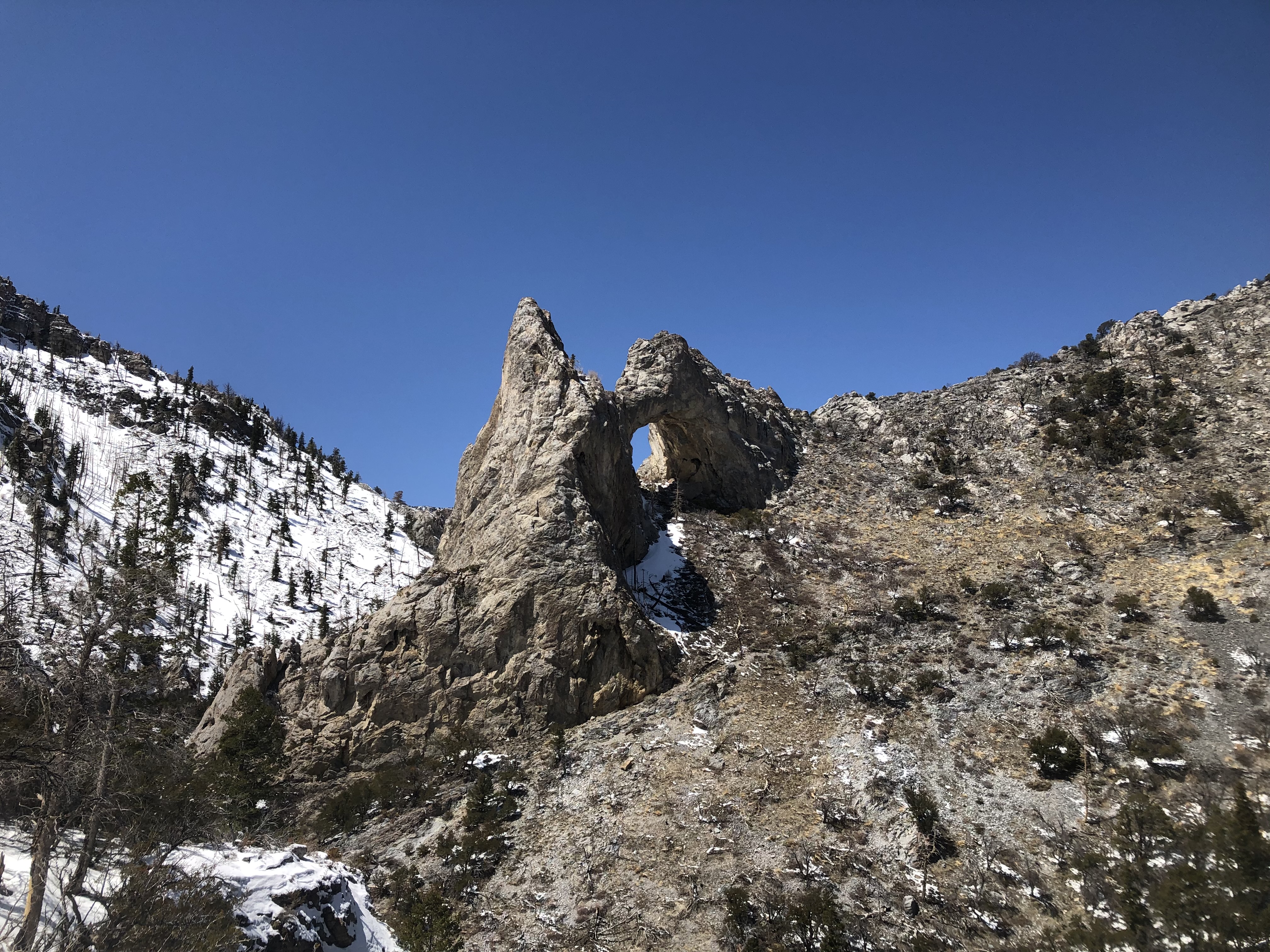
Lexington Arch stands as one of the tallest limestone arches in the world at nearly 200 feet tall. This trail takes visitors from a makeshift trailhead all the way underneath the arch, meandering through shurbland and some old forest. A fire in the early 2010s brought down the road contructed to the original trailhead and burned much of the surrounding hillsides, threatening the arch itself. Since then, a makeshift trailhead has been constructed about 1.0 miles short of the original, making for a ~5.6 mile round trip hike. Due to the fire, the trail is mostly on exposed hillsides with little shade. Live trees emerge as you ascend the trail, allowing for occasional relief from the heat of the summer.
This hike starts at the end of Lexington Creek Road, outside the national park boundary. Stop to park at the trailhead at the road's end. Parking outside of designated spaces or along the road is prohibited. This road is managed by the Bureau of Land Management (BLM). As a result, the park may not close the road even if conditions are hazardous. Exercise caution driving to the arch in spring and fall, as washouts and running water are common.
Lexington Arch is the one and only trail within Great Basin National Park that permits pets. Pet owners must still follow all regulations, including keeping animals on no longer than a six foot leash.
Water
Potable water is not available. Pack sufficient water with you, about one gallon per person per day.
Restrooms
There are no toilets near the Lexington Arch or its trailhead. Pack out any toilet paper or other waste garbage.
Accessibility This hike is not accessible due to rocky terrain.