
Lehman Creek Trail
Hike the Lehman Creek Trail 6.4 mi round trip · the Park Service's write-up
3-6 Hours · no dogs
Start Lehman Creek Trailhead
Trail Overview
Total Distance: 6.4 miles / 10.3 kilometers
Starting elevation: 7,750 feet / 2,362 meters
Elevation Gain: 2,040 feet / 622 meters
Difficulty: Moderate/Strenuous
Time: 3 hours - 6 hours
Begin at : Lehman Creek Trailhead in Upper Lehman Creek Campground
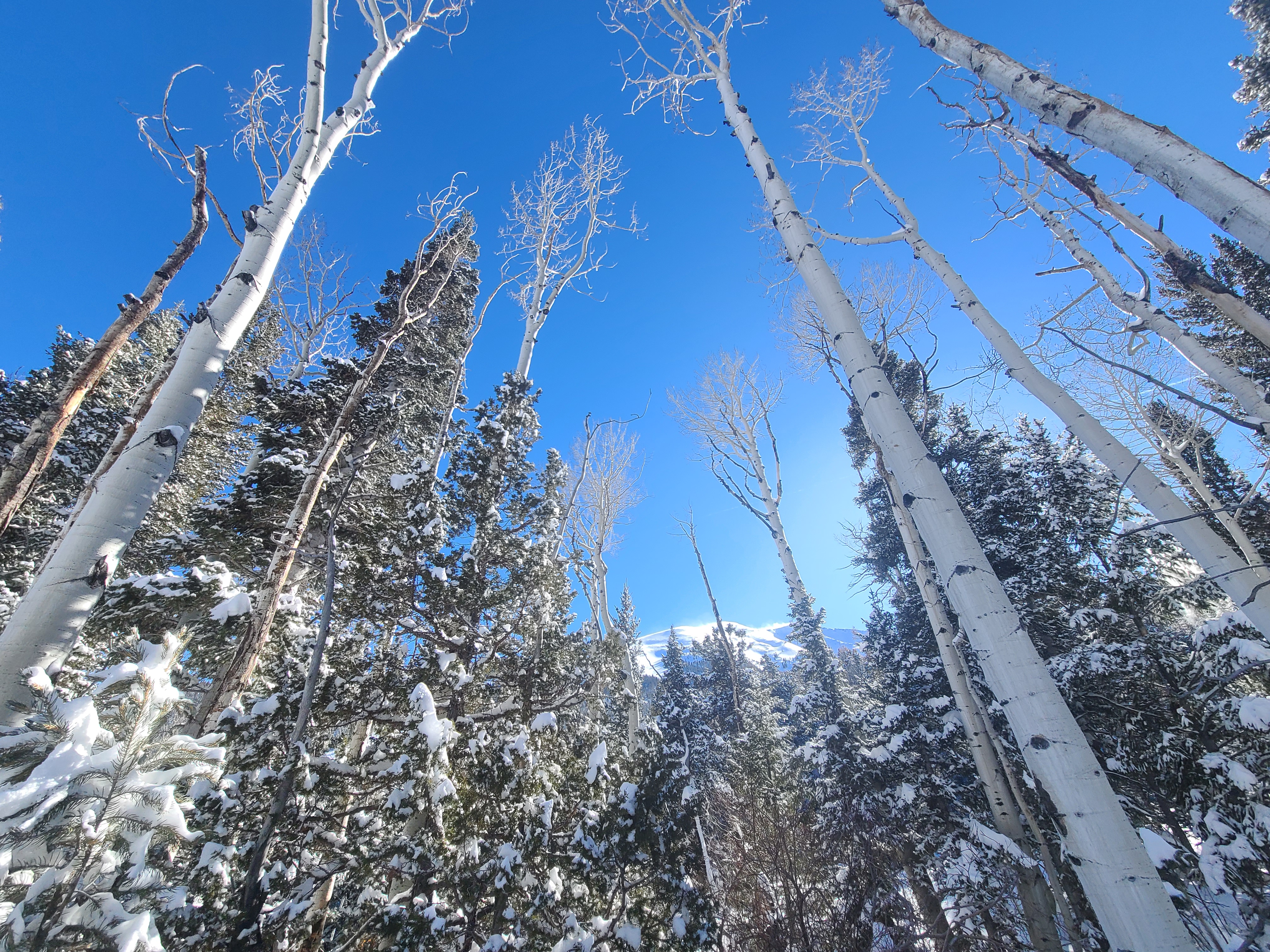
The Lehman Creek Trail takes visitors on a deceptively steep trip up from the Upper Lehman Creek Campground to the Wheeler Peak Campground and Bristlecone Trailhead. Following the creek, passing by meadows, and through dense aspen forest, this trail wows any who travel it year round with fall colors, wildflower blooms, and the babbling of Lehman Creek.
Reaching an elevation of just under 10,000 feet, this trail provide both a respite from the summer heat of the Snake Valley, but also added dangers in the form of altitude sickness and afternoon thunderstorms. Be prepared with plenty of water and salty snacks, or to return to your vehicle if you become symptomatic of altitude sickness or see thunderclouds rolling in. During winter, this is the best route to snowshoe or crosscountry ski to reach the upper trails when the Scenic Drive is closed.
This hike starts at the Lehman Creek Trailhead in the Upper Lehman Creek Campground, three miles up the Wheeler Peak Scenic Drive. Park at the trailhead in summer or at the pullout across from the campground in winter. Parking outside of designated spaces or along the road is prohibited.
No pets permitted on park trails. Trained service animals allowed. Learn more about service animal regulations at this link.
Water
Potable water is not available along the Wheeler Peak Scenic Drive. Pack sufficient water with you, about one gallon per person per day. Water is available year-round at the nearby Lehman Caves Visitor Center or seasonally at the dump station.
Restrooms
The nearest restrooms are pit toilets with no running water in the Upper Lehman Creek Campground
Accessibility This trail is not accessible.