
Johnson Lake Trail
Backcountry camps
Along the way Shoshone 1
Trailhead Snake Creek Trailhead 8,186 ft Drive there
Hike to Johnson Lake from Baker Creek the Park Service's write-up
5-8 Hours · no dogs
Start Baker Creek Trailhead
Trail Overview
Distance: 9.8 miles / 15.8 kilometers
Starting elevation: 8,020 feet / 2,445 meters
Elevation Gain: 2,740 feet / 835 meters
Difficulty: Strenuous
Time: 5 hours - 8 hours
Begin at : Baker Creek Trailhead
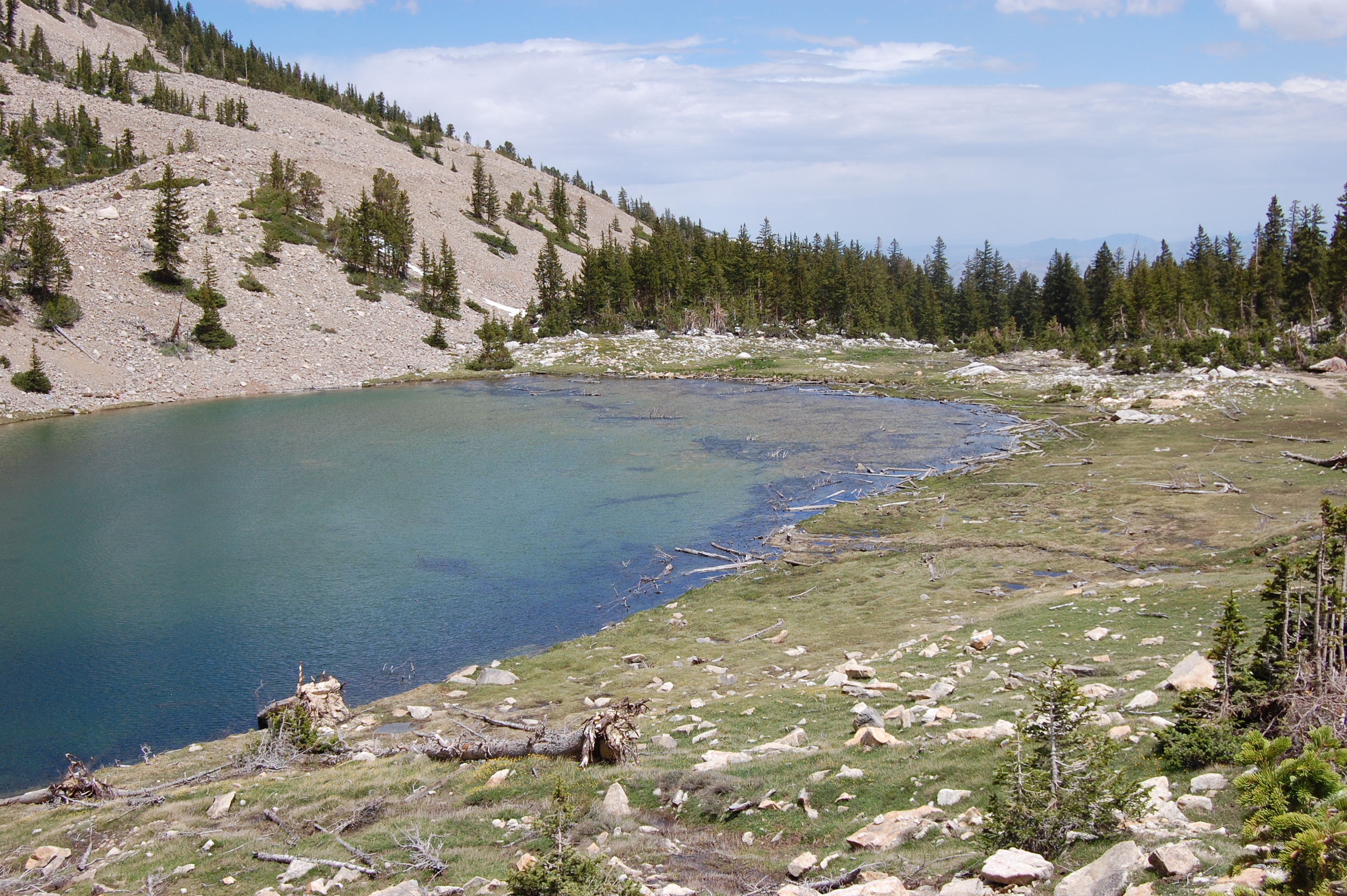
Johnson Lake is located deep in the backcountry of Great Basin National Park. Near this mountain lake there are historic buildings and mining equipment, please to not enter or disturb any historic sites.
The Johnson Lake Mining District is a remnant of early 20th century mining efforts. Today a historic landscape in Great Basin National Park, Johnson Lake Mine's story actually begins in the early part of the 1900s, when the mineral tungsten was first discovered in the southern Snake Range. At Johnson Lake Mine tungsten was extracted and milled onsite and then transported a great distance to be refined and then used to make alloy steel. Alloy steel was used to create things like weapons, tanks, and transmitter radios during World War I. Many of the historic cabins still standing have remained through avalanche, blizzard, rockfall, and time for around a century. Efforts have been made to preserve the cultural significance of these structures. Please do not disturb these sites in respect for their cultural value.
Spring time ushers in a bevy of wildflowers of many colors, some years blooming well into the summer. Find yourself surrounded by pine, fir, and aspen trees as you hike through the forest and gain elevation. Johnson Lake remains high throughout the year, partially freezing in the winter time.
This hike starts at the Baker Creek Trailhead at the end of Baker Creek Road. Parking outside of designated spaces or along the road is prohibited.
No pets permitted on park trails. Trained service animals allowed. Learn more about service animal regulations at this link.
Water
Potable water is not available along Baker Creek Road. Pack sufficient water with you, about one gallon per person per day. Water is available year-round at the nearby Lehman Caves Visitor Center or seasonally at the dump station.
Restrooms
The nearest restrooms are pit toilets with no running water at the Baker Creek Trailhead.
Accessibility This trail is not accessible
Hike to Johnson Lake from Snake Creek 8 mi round trip · the Park Service's write-up
4-8 Hours · no dogs · Summer, Fall
Start Snake Creek Trailhead
Trail Overview
Distance: 8.0 miles / 12.9 kilometers
Starting elevation: 8,200 feet / 2,500 meters
Elevation Gain: 2,520 feet / 768 meters
Difficulty: Strenuous
Time: 4 hours - 8 hours
Begin at : Snake Creek Trailhead
Johnson Lake is located deep in the backcountry of Great Basin National Park. Near this mountain lake there are historic buildings and mining equipment, please to not enter or disturb any historic sites.
The Johnson Lake Mining District is a remnant of early 20th century mining efforts. Today a historic landscape in Great Basin National Park, Johnson Lake Mine's story actually begins in the early part of the 1900s, when the mineral tungsten was first discovered in the southern Snake Range. At Johnson Lake Mine tungsten was extracted and milled onsite and then transported a great distance to be refined and then used to make alloy steel. Alloy steel was used to create things like weapons, tanks, and transmitter radios during World War I. Many of the historic cabins still standing have remained through avalanche, blizzard, rockfall, and time for around a century. Efforts have been made to preserve the cultural significance of these structures. Please do not disturb these sites in respect for their cultural value.
Spring time ushers in a bevy of wildflowers of many colors, some years blooming well into the summer. Find yourself surrounded by pine, fir, and aspen trees as you hike through the forest and gain elevation. Johnson Lake remains high throughout the year, partially freezing in the winter time.
This hike starts at the Snake Creek Trailhead on Snake Creek Road. Stop to park at the trailhead at the road's end. Parking outside of designated spaces or along the road is prohibited.
No pets permitted on park trails. Trained service animals allowed. Learn more about service animal regulations at this link.
Water
Potable water is not available along Snake Creek Road. Pack sufficient water with you, about one gallon per person per day.
Restrooms
The nearest restrooms are pit toilets with no running water at the Snake Creek Trailhead.
Accessibility This hike is not accessible due to steep terrain, rocky paths and narrow walking paths.