
Dead Lake Trail
Hike to Dead Lake 5.1 mi round trip · the Park Service's write-up
2-5 Hours · no dogs · Spring, Summer, Fall
Start Snake Creek Trailhead
Trail Overview
Distance: 5.1 miles / 8.2 kilometers
Starting elevation: 8,200 feet / 2,500 meters
Elevation Gain: 1,520 feet / 463 meters
Difficulty: Moderate
Time: 3 hours - 5 hours
Begin at : Snake Creek Trailhead
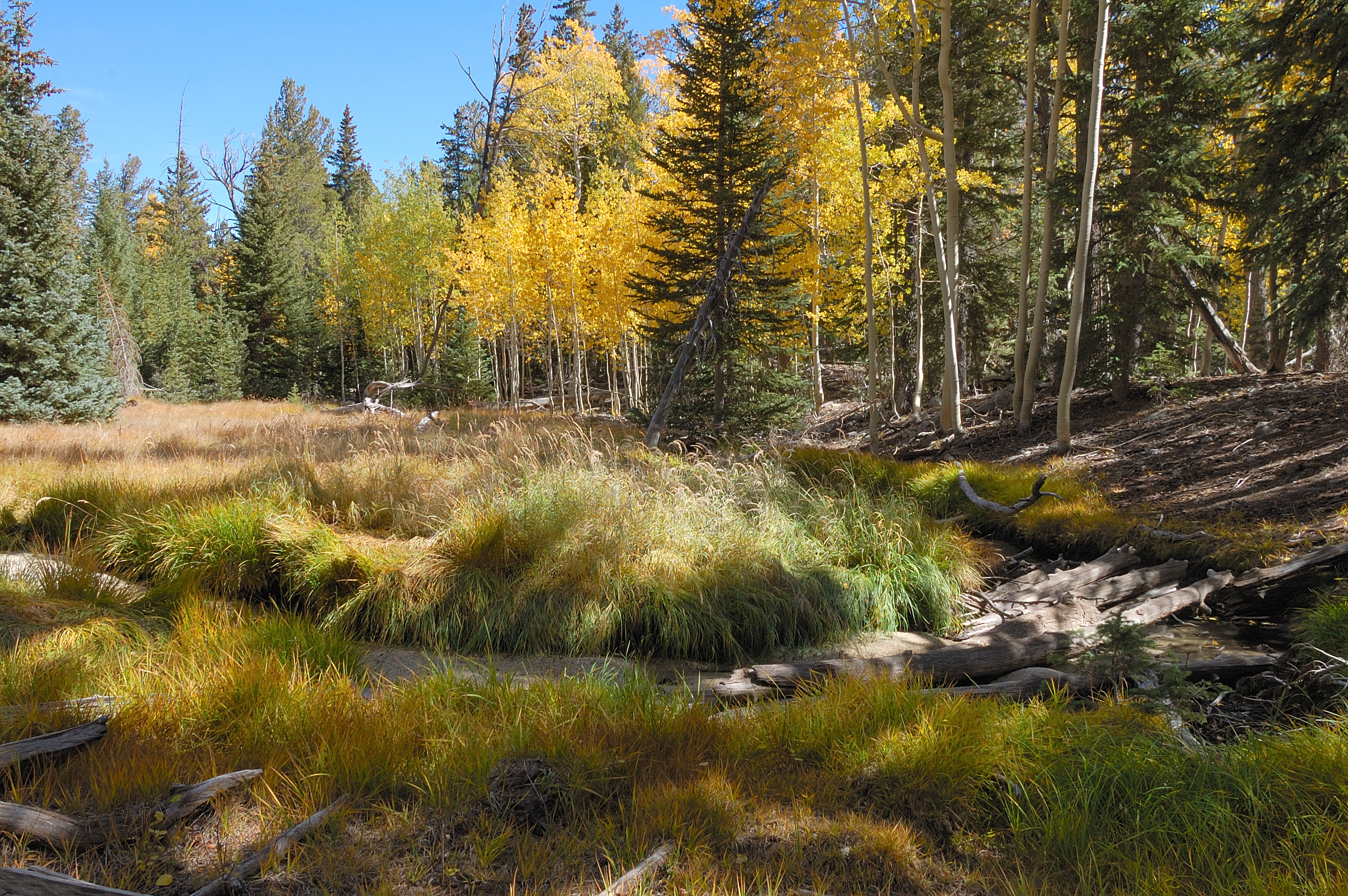
A 5.1 mile round trip hike to Dead lake offers trails through aspen groves and views on the snake valley on the way to a lake that comes and goes with the seasons. After heavy snow seasons, the lake is often filled late into the season, but can be totally dry after drier winters.
Spring time ushers in a bevy of wildflowers of many colors, some years blooming well into the summer. Find yourself surrounded by pine, fir, and aspen trees as you hike through the forest and gain elevation.
This hike starts at the Snake Creek Trailhead on Snake Creek Road. Stop to park at the trailhead at the road's end. Parking outside of designated spaces or along the road is prohibited.
No pets permitted on park trails. Trained service animals allowed. Learn more about service animal regulations at this link.
Water
Potable water is not available along Snake Creek Road. Pack sufficient water with you, about one gallon per person per day.
Restrooms
The nearest restrooms are pit toilets with no running water at the Snake Creek Trailhead.
Accessibility This hike is not accessible due to rocky terrain.